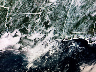
So I see a drier, sunnier day for Saturday before Sunday PM into Monday see storms return.. There are no surface fronts coming our way so it will be the upper low that changes our weather this weekend.
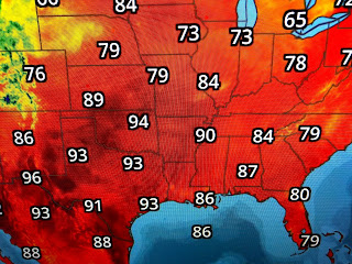
It's basic summertime over much of the nation with New Orleans humidity surging into Michigan where dew points have reached 70. At this time of the year, I always wondered how people lived in the Deep South before Air Conditioning?
The Gulf and Caribbean remain quiet while there are 2 swirls way out in the Atlantic. NHC is giving the disturbance off of Africa only a slight (20%) chance to develop so we should get into July before we track another storm.
Finally, there was another alarmist headline in USA Today. Who "leaked to the media" this report? Why? What was their agenda? Reminds me of President Eisenhower's farewell address where he warned..." we must be alert to the equal and opposite danger that public policy could itself become the captive of a scientific-technological elite". Where are the opposing viewpoints? Just thinking. Stay tuned!


No comments:
Post a Comment