


To make matters worse, a cold frontal boundary will sag down towards us increasing our rain chances on Monday through Wednesday. You can see what effect the rain has on temps in the East.


There's no super heat anywhere, but dew points are into the 70s making it feel very uncomfortable. Locally, storms missed MSY but many parts of NOLA got another soaking.


Our normal/average high is now about 92 but I don't see us reaching that until our rain chances decrease for late next week into the weekend. That is just in time for the Grand Isle Tarpon Rodeo.


Even if you can't come fish with us next weekend, you can register to win the grand prize which is a 21 foot fully equipped Bay Boat & Trailer. Local sporting outlets have the forms, but we must have your ticket stub before next Saturday's drawing.. For only $45, that boat could be yours.


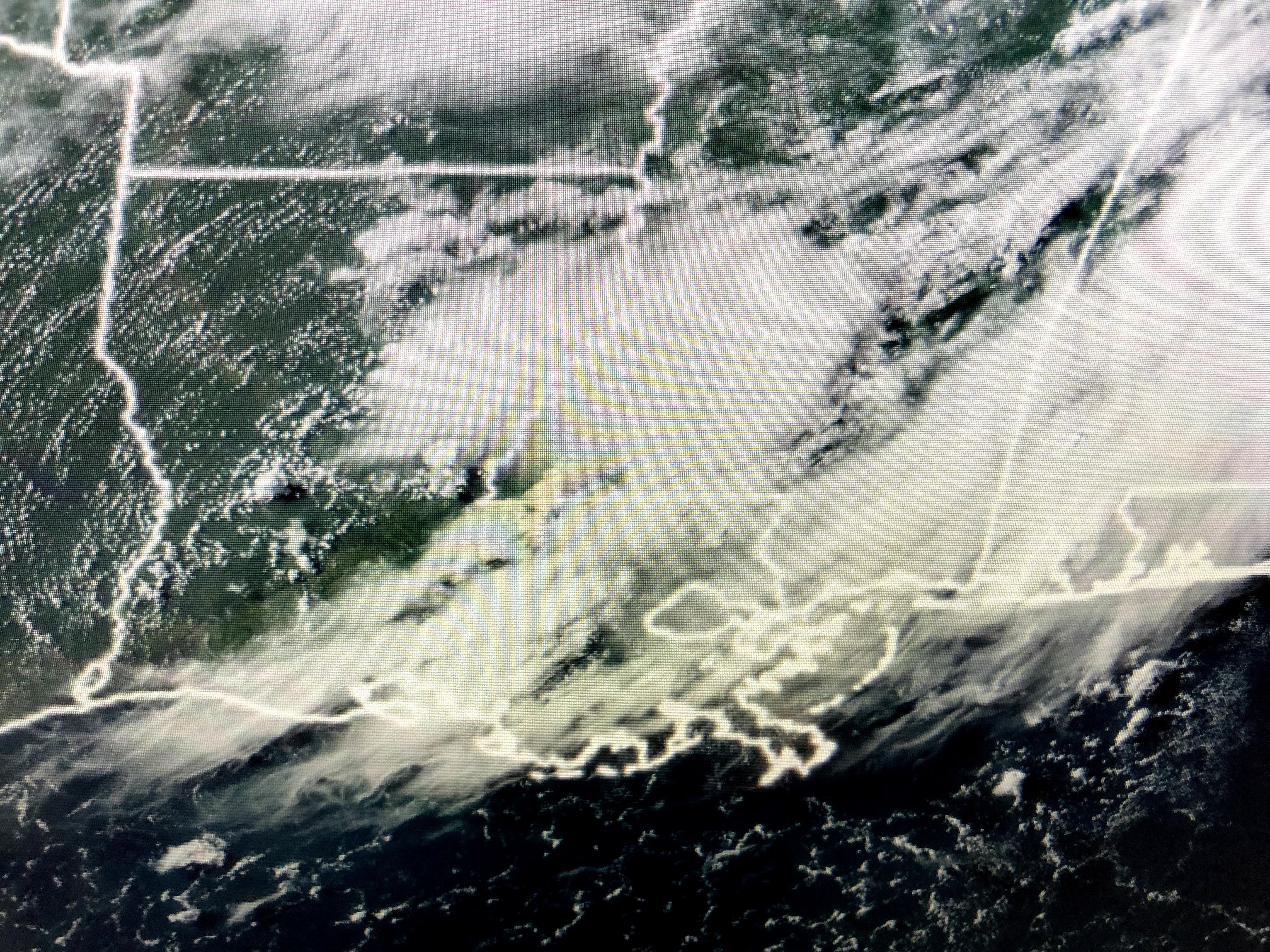
The Tropics in our part of the World remain quiet from the Atlantic through the Caribbean into the Gulf. Models are not developing any storms for the next 10-14 days. All the action is in the eastern Pacific.


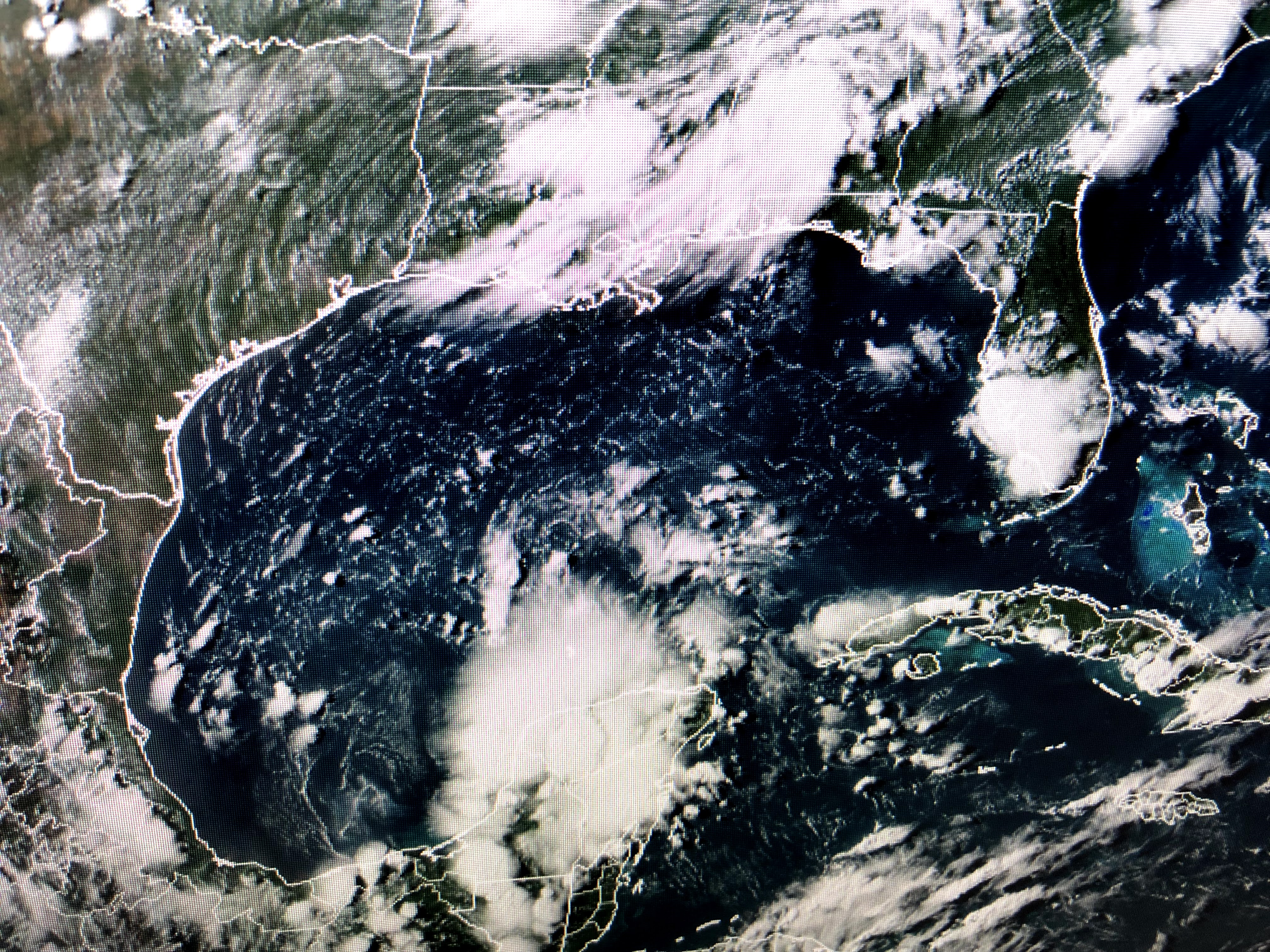
Hurricane Felicia has weakened from a Cat. 4 down to a Cat. 3 but she still has an impressive satellite view. keep them all out there. Enjoy your Sunday and stay tuned!

1 comment:
Bob How many July's have we had where it has been this rainy?
Did we shift closer to the equator?
Thanks Kevin Lacoste
Post a Comment