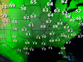
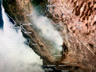
The temperatures are not hot anymore, but the 70+ dew points cover all of the Deep South. The satellite view has widespread cloud cover over most of the central states with the states west of the upper low in the sunshine.
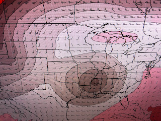
The bottom three graphics are the upper air pattern beginning with today. The next is valid on Monday when the low lifts out giving us a drier WNW flow. However, by late week, another cut off low forms just to our north. Hopefully, it will be far enough away to keep the clouds and rain near it.
Radar has spotty showers around, but there are many breaks between them. The cloud cover is quite extensive so don't expect to see much sunshine tomorrow.
The Tropics are quiet around us as Sam leaves and Victor just weakens. So I have to look around for something to talk about.


No comments:
Post a Comment