


If you add the average rainfall for November & December (8.69") to our current 82.49", you can see where we top 91"+ clearly claiming the number 2 spot all time. Number one looks to be safe and that's not a record we want to break.


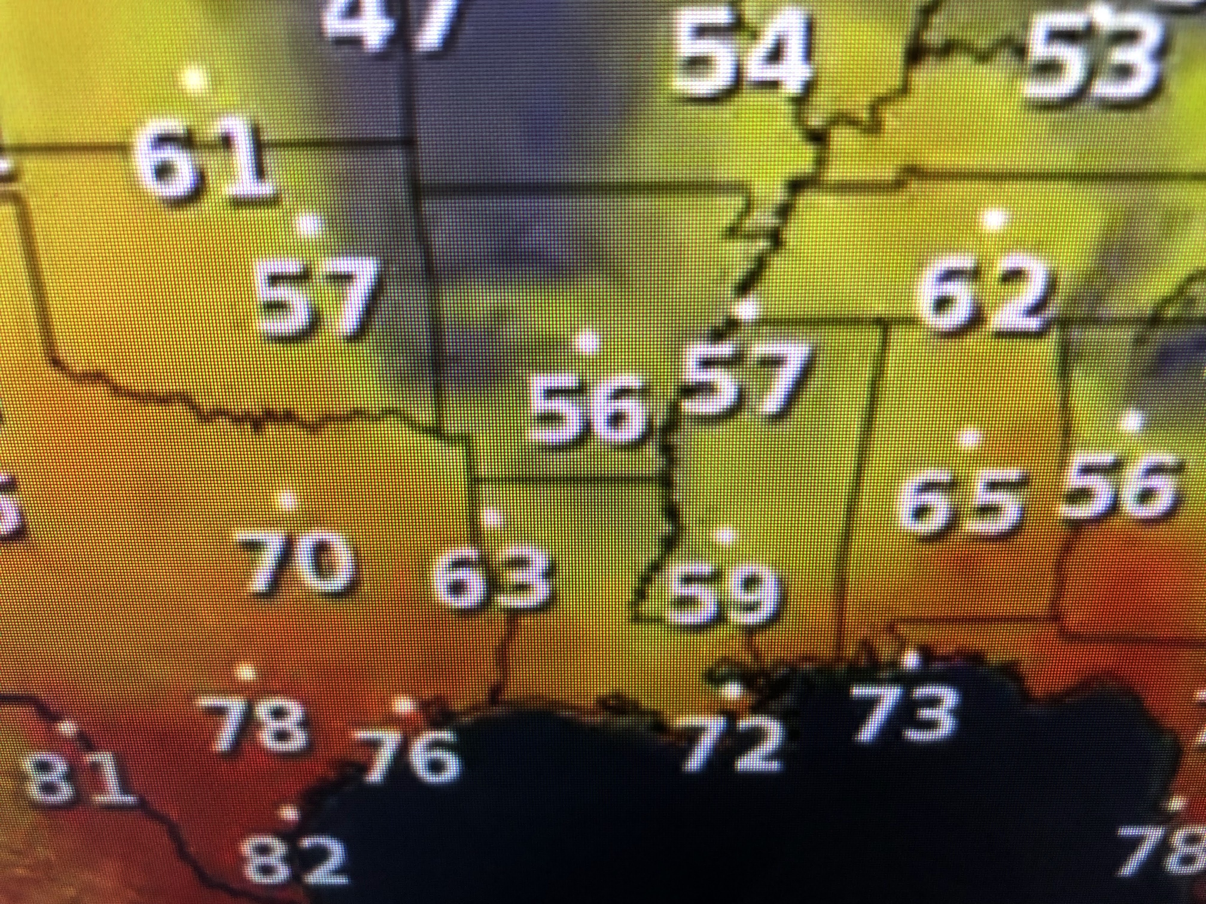
We have 2 large areas of low pressure, one moving off the NE coast with the other north of Memphis. The severe storms that rumbled over us have now pushed south of Tampa, but a large rain shield is wrapped around the Memphis low. Note how much cooler it is under the cloud shield to our north.


The clouds will move over us tonight and linger into Friday. If they hang around, our highs could struggle to top 60. The humid air (dew points 70+) has been swept far to our east and we'll enjoy the good feel air through Halloween.


It does slowly warm up next week, but you'll need sweaters and jackets for the next couple of nights. Perhaps time to light up that fireplace in case you didn't do that with the last front. Enjoy a great weekend weather-wise. Stay tuned!

No comments:
Post a Comment