


As you can see, whatever forms will be south Florida's problem and it doesn't look like much of a problem. We will not be affected since the upper flow now and over the weekend will be from the WSW.


The European hints at a small low over the extreme Gulf, but quickly loses it into Mexico. So we may have to wait until sometime after June 1st to see our first named storm. Hopefully it'll be even later than that?


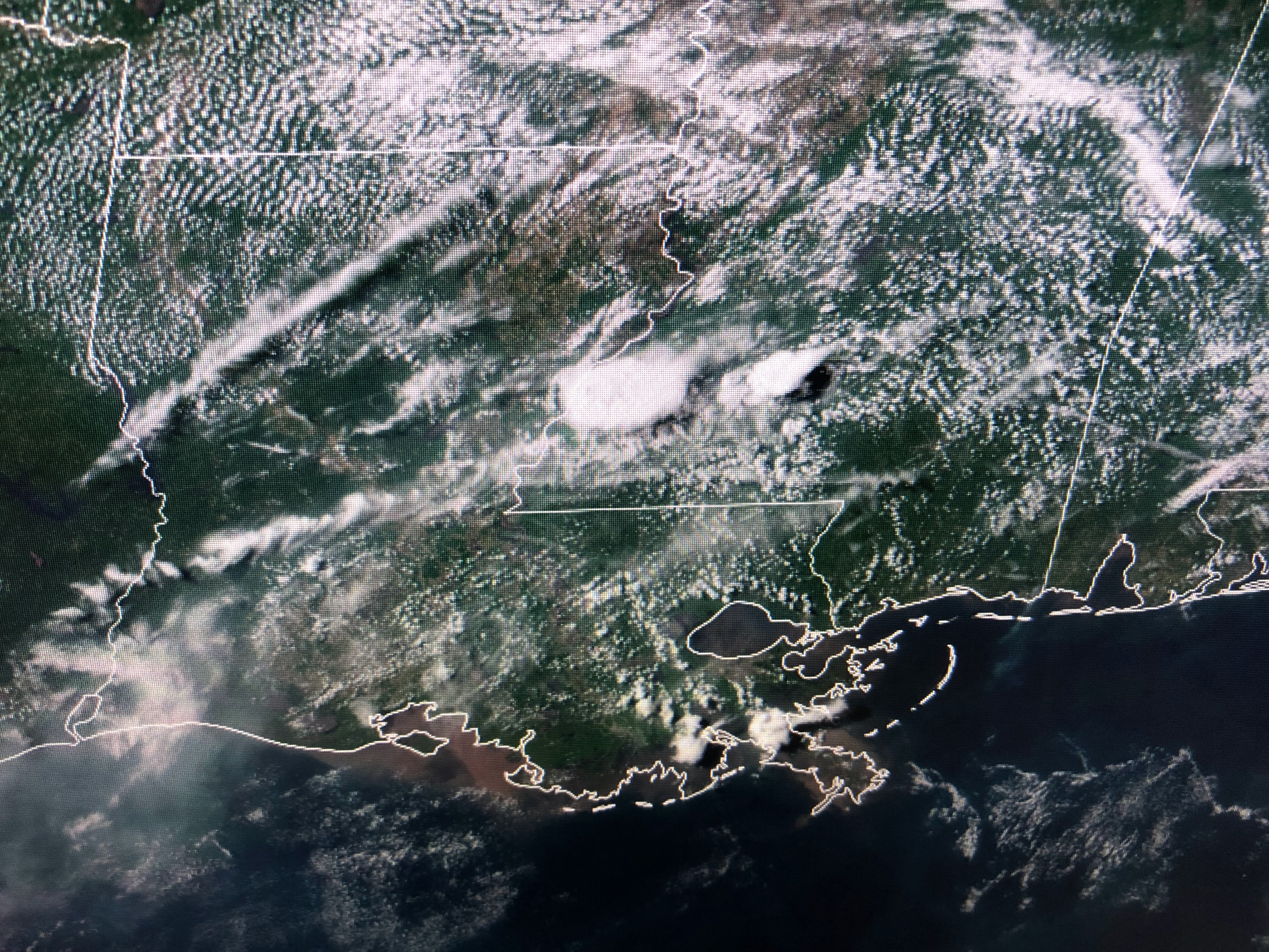
Most of the weather action today is along the East coast with a front stalling out over north Louisiana.


Texas has really heated up with Houston near 100. Dew points have dropped some here falling from 70+ back into the 60s. Dry air plus sunny skies have allowed us to warm into the 90s.


It doesn't look like any major changes are coming until over next weekend.


Higher rain chances result in temperatures less hot. Maybe not sweater weather but better than low to mid 90s. Stay cool & stay tuned!

No comments:
Post a Comment