


I found a number of small upper swirls but the infrared clearly has two separate clusters of storms moving AWAY from each other. IF those clusters moved together and stayed together, then we should pay closer attention. Right now all we have is a very disorganized area of disturbed weather.


Early model runs (without any center) take whatever might form to our east with the greater rain threat along the Florida Beaches. Will it get a name? Not likely, but as we have seen in the recent past, it doesn't take much for NHC to pull the trigger.


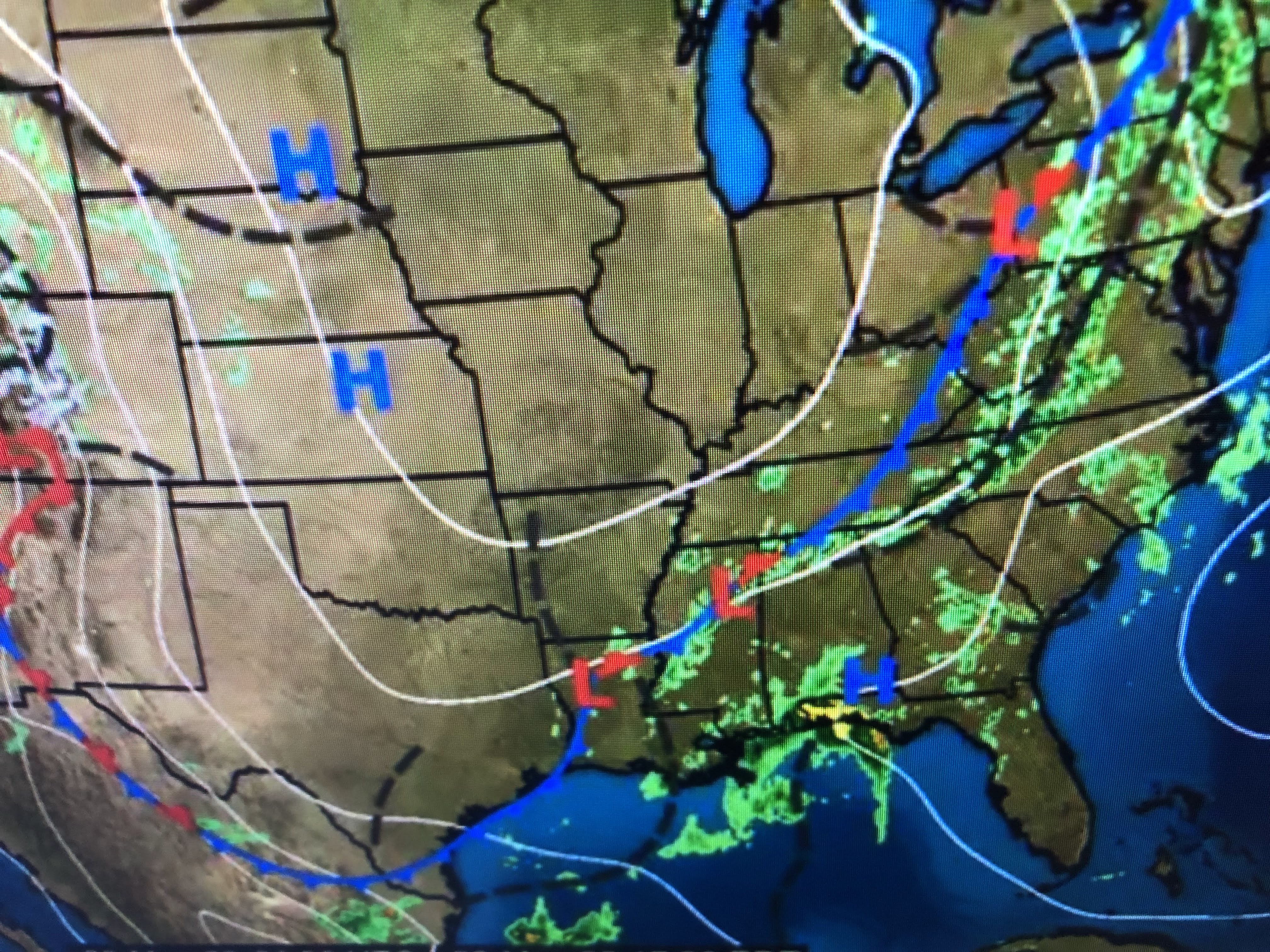
The other big news is models continue to bring a frontal boundary through us late Thursday bringing is drier air for next weekend.


In the short term, the Gulf clouds & showers will result in us being less hot.

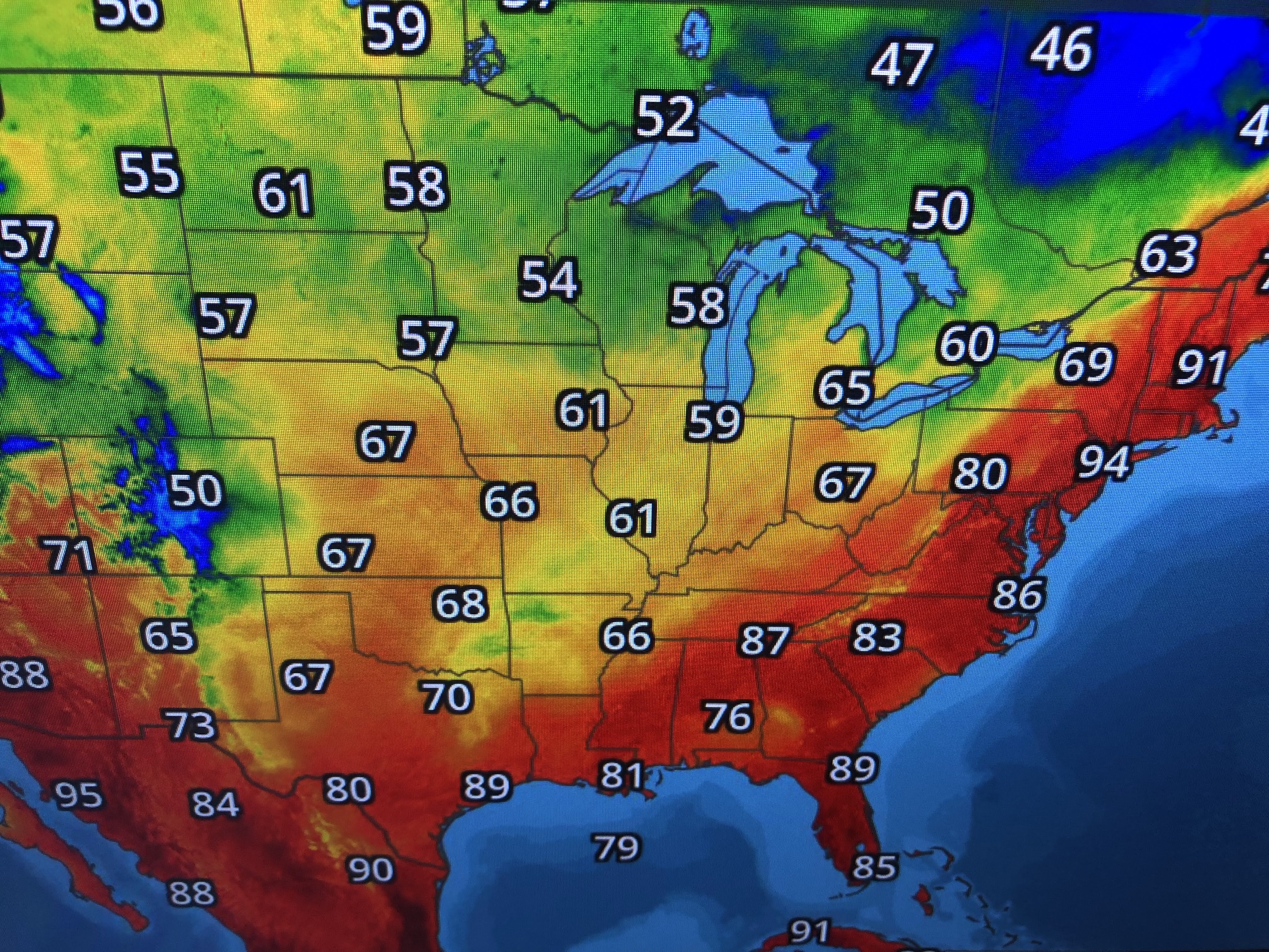
Look how much cooler it is back behind the front. Almost sweater and jacket weather! But we'll have to wait several more days before it reaches us.


Today it was supposed to be rainy (80%), but it's taken all day for some storms to arrive. Note most temps are well below 90 with the cloud cover. Will will have another named storm in May? Stay tuned!

No comments:
Post a Comment