


If this were August or September when water temps would be in the upper 80s versus the high 70s now, this system could easily develop. But water temps are too cool and upper wind shear too high.


Still it's a sign we're not far from that time of the year when we pay attention to the Tropics. Our weather this week will come from a frontal boundary that has stalled to our west
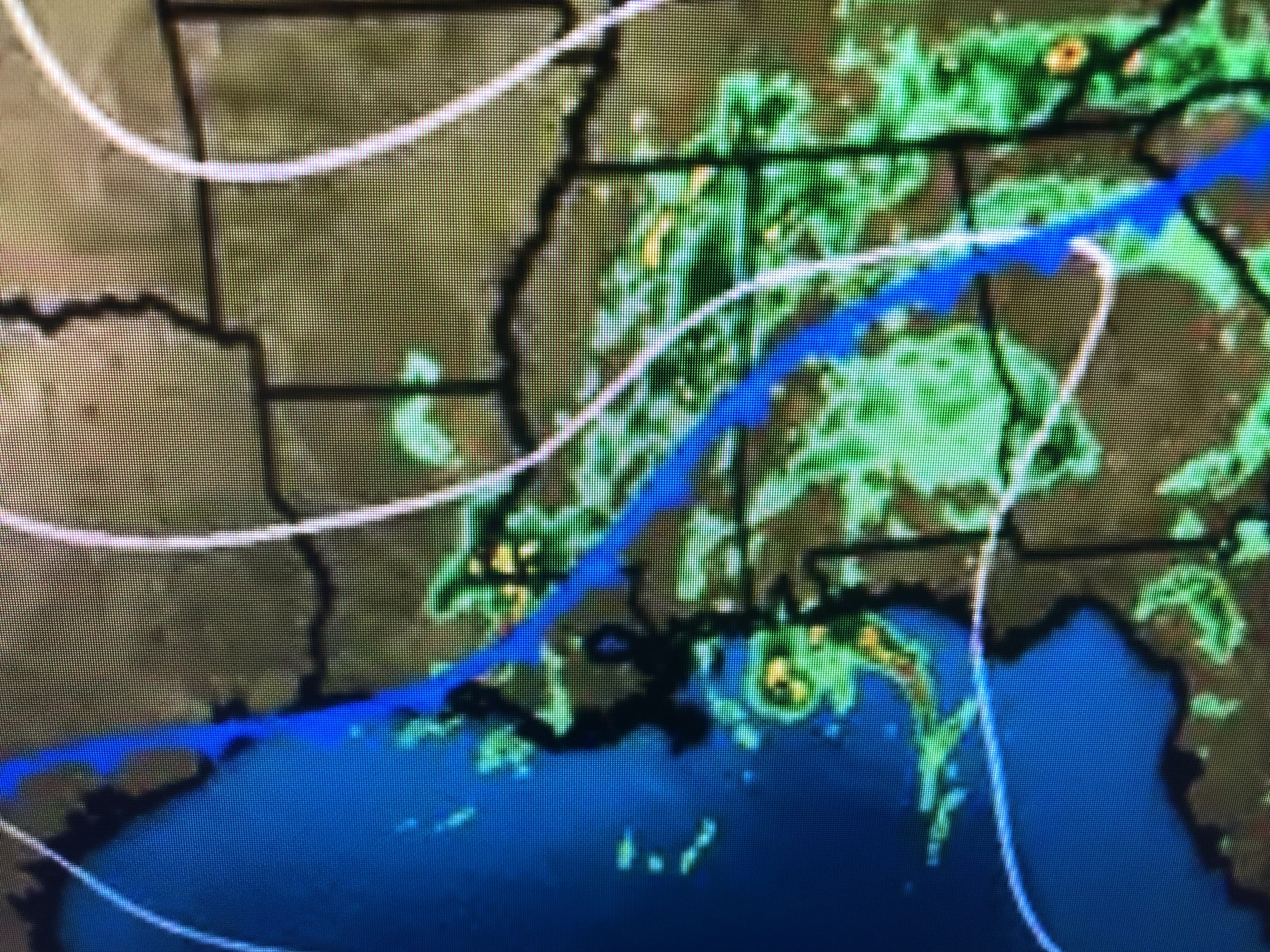


Right now we are between the small low to our east and the slow moving front to our west. If that front staggers closer on Monday, we could get under that heavy rain band. Our past May floods were caused by slow moving/stalled cold fronts. Keep up with the weather for the next couple of days as we could get very rainy at times. Stay tuned!

No comments:
Post a Comment