


What is could too is bring some heavy rains to the Gulf Coast over night and into Sunday as it drifts to the NNE. These upper disturbances are quite common during the hurricane season and I circled 4 such systems.
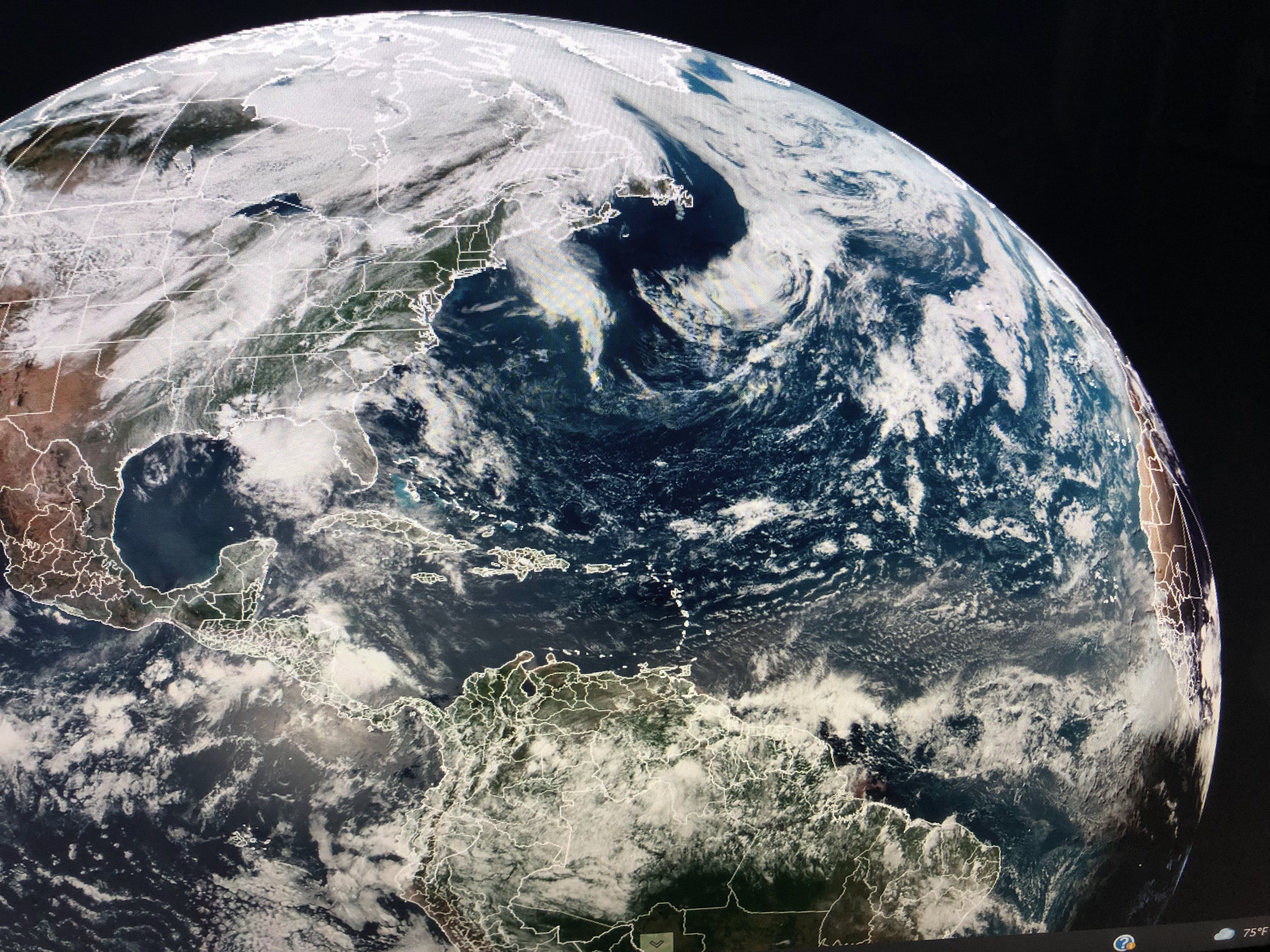

One reason nothing is likely to develop is the Saharan Dust Layer (SAL) coming from Africa through the Caribbean and over the Gulf.

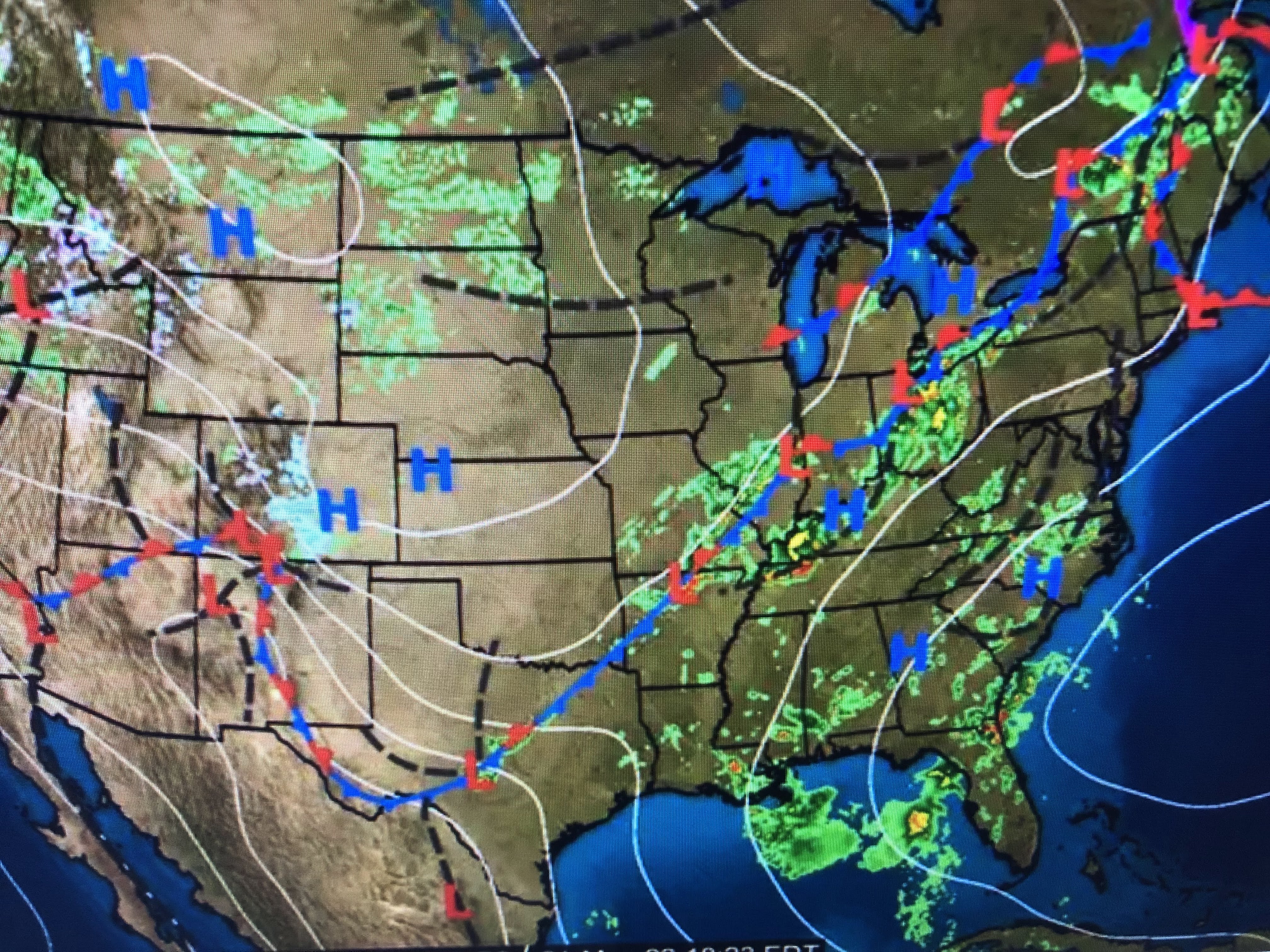
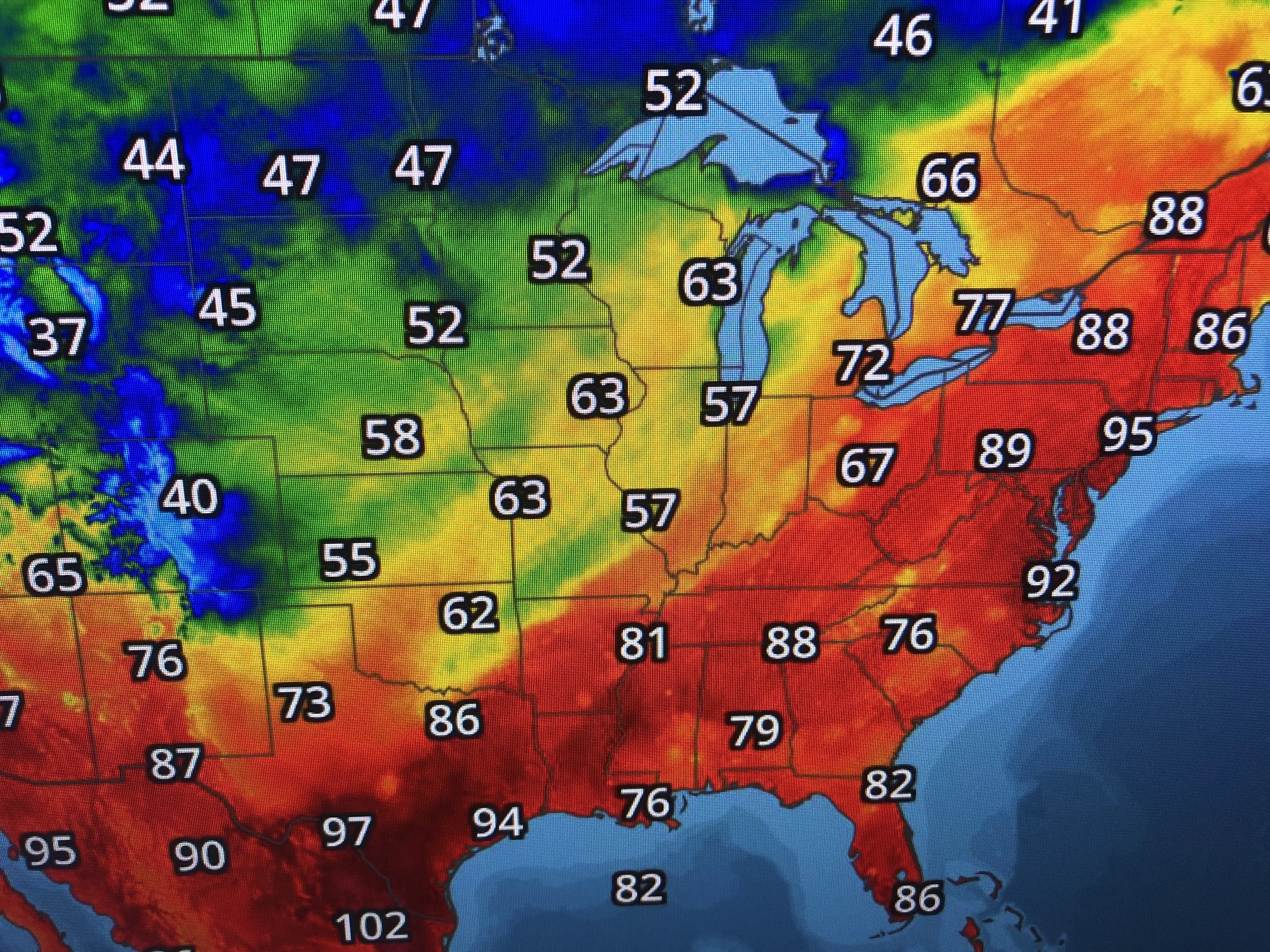
There are two distinctly different airmasses over the nation with heat & humidity surging from the Gulf up into New England with an unusually chilly regime sprawling from the Rockies into the Great Lakes. That boundary will remain to our west for the next couple of days.


Deep low level moisture (dew points 70+) will provide the fuel for rainfall each day until that frontal boundary moves our way late this week. If it makes it, we could see some drier air arrive on Friday.


At least the clouds and showers have made us briefly less hot. Stay tuned!

No comments:
Post a Comment