


Where it's raining, temps have cooled into the 70s. A cloud cover is keeping the rest of us below 90.


With a trough over the Rockies, the upper flow is from the SW and that has much of the eastern 2/3 of the country cloudy and wet. It's difficult to time minor upper disturbances in that SW flow so our rain chances will remain high until a front sweeps through late Thursday. David pointed out the Rockies upper low will slide to the East coast with a drier flow returning over us for the weekend.


That front will make it cooler at night, but we'll be up near 90 over the weekend.

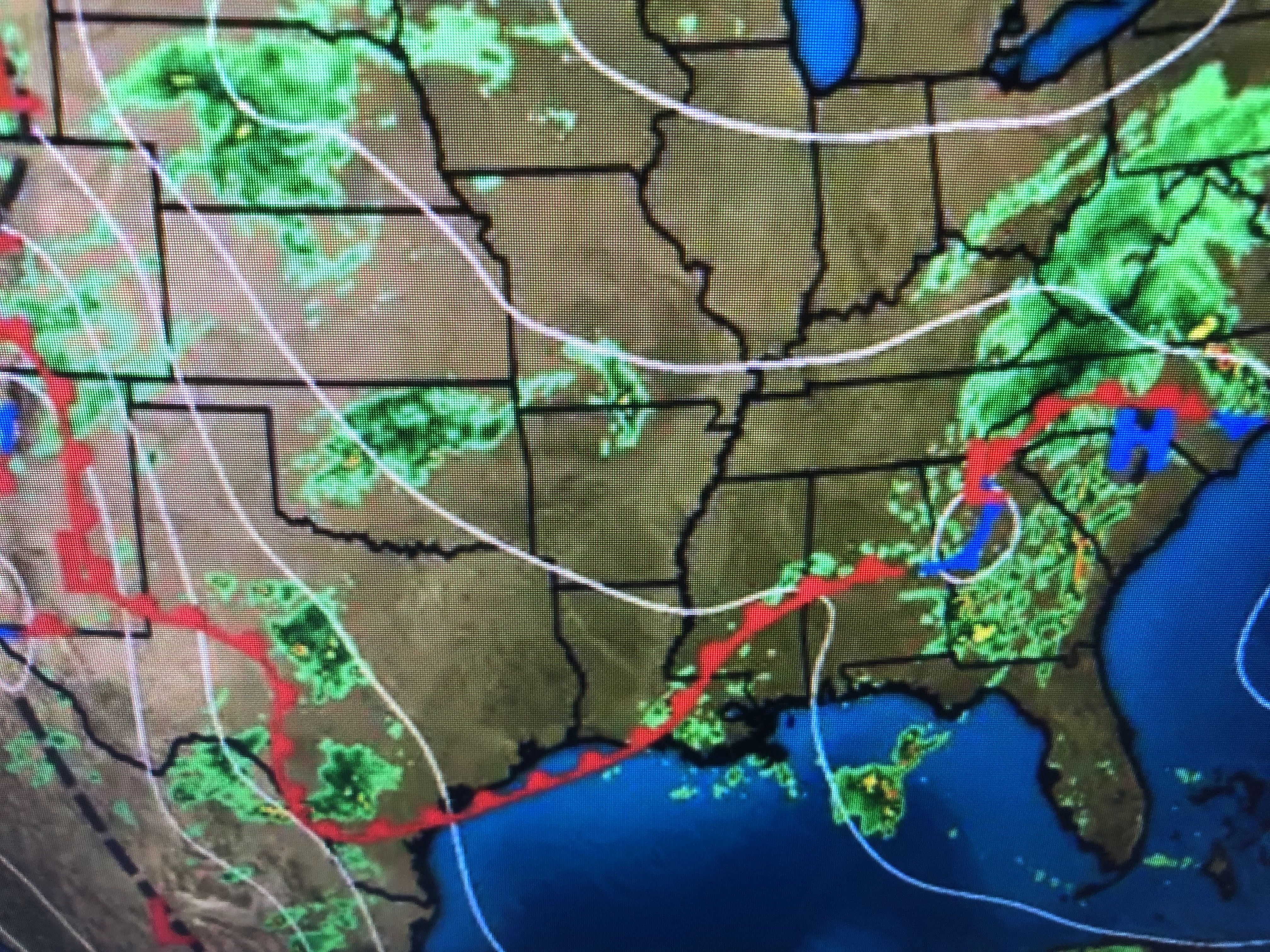


that SW upper flow has stalled the surface front to our west. The front will be the trigger/focus for heavier rainfall for the next 2-3 days. Keep the umbrellas handy. Dew points in the 50s & 60s to our west will come out way behind the front late Thursday. It will feel better with less humidity. Stay tuned!

No comments:
Post a Comment