

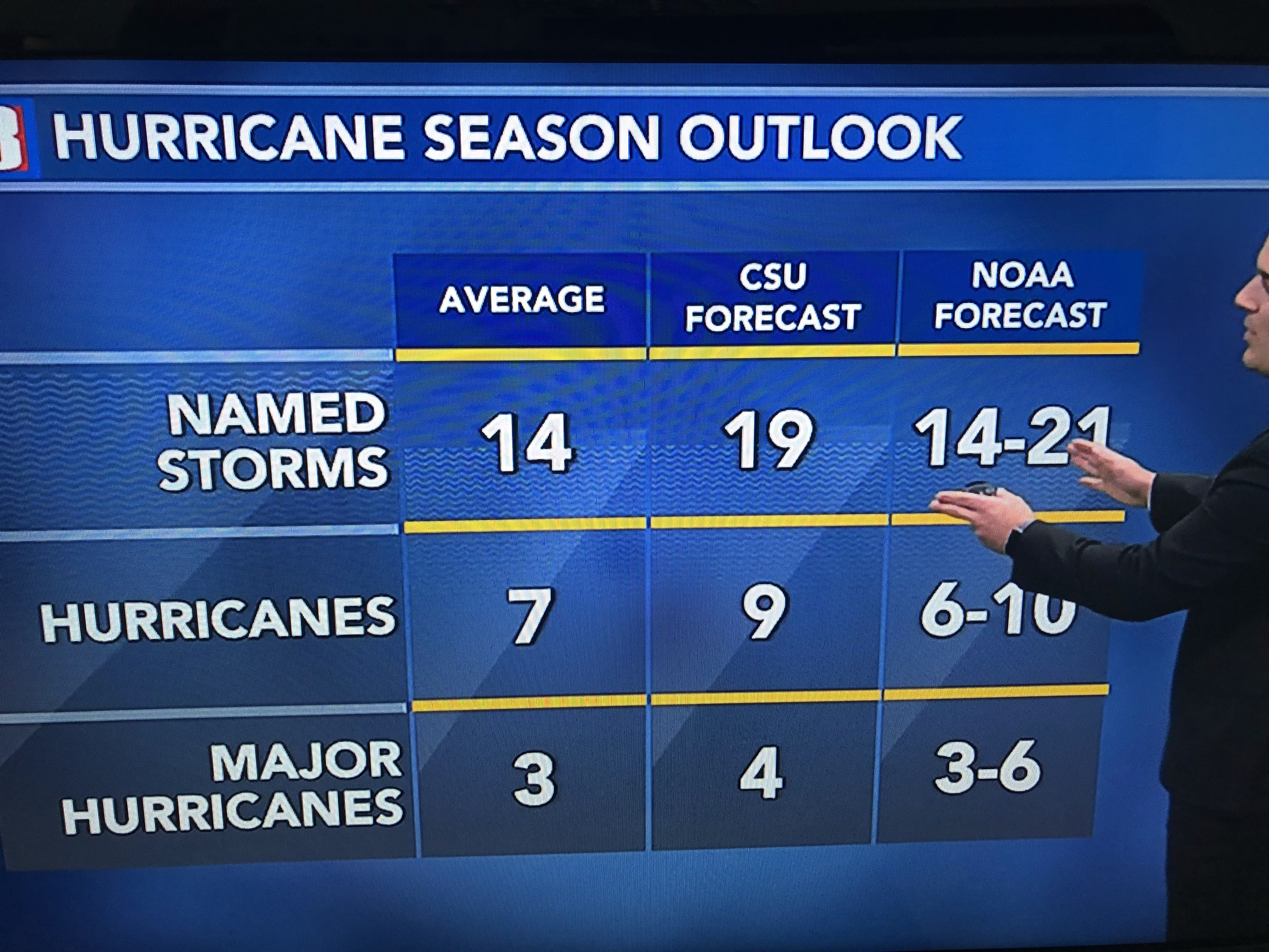

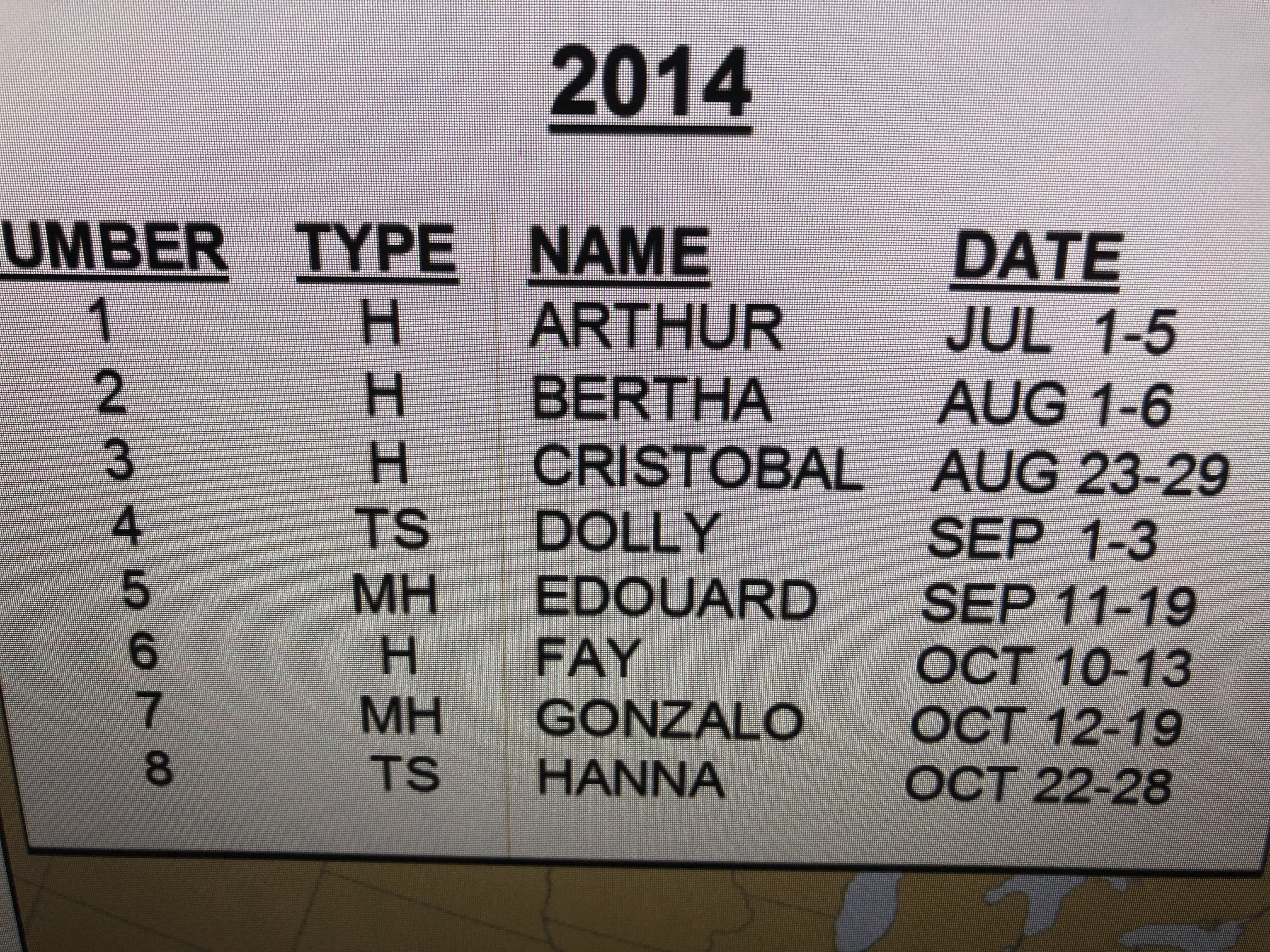
Some of you may say their ranges are too broad giving them a better chance of being "right". I agree. An interesting fact is the past 7 years have seen preseason named storms and it ended up being active seasons above normal. The last time we didn't have a preseason storm was 2014. Look at the total number of storms that year! I'm leaning toward a less active season IF we don't start off with an early storm. 12-14 named storms sounds about right to me.

Of course 2013 didn't have an early storm either, but look at the final total. We still have an opportunity to get a named storm in May. Look at the satellite views.

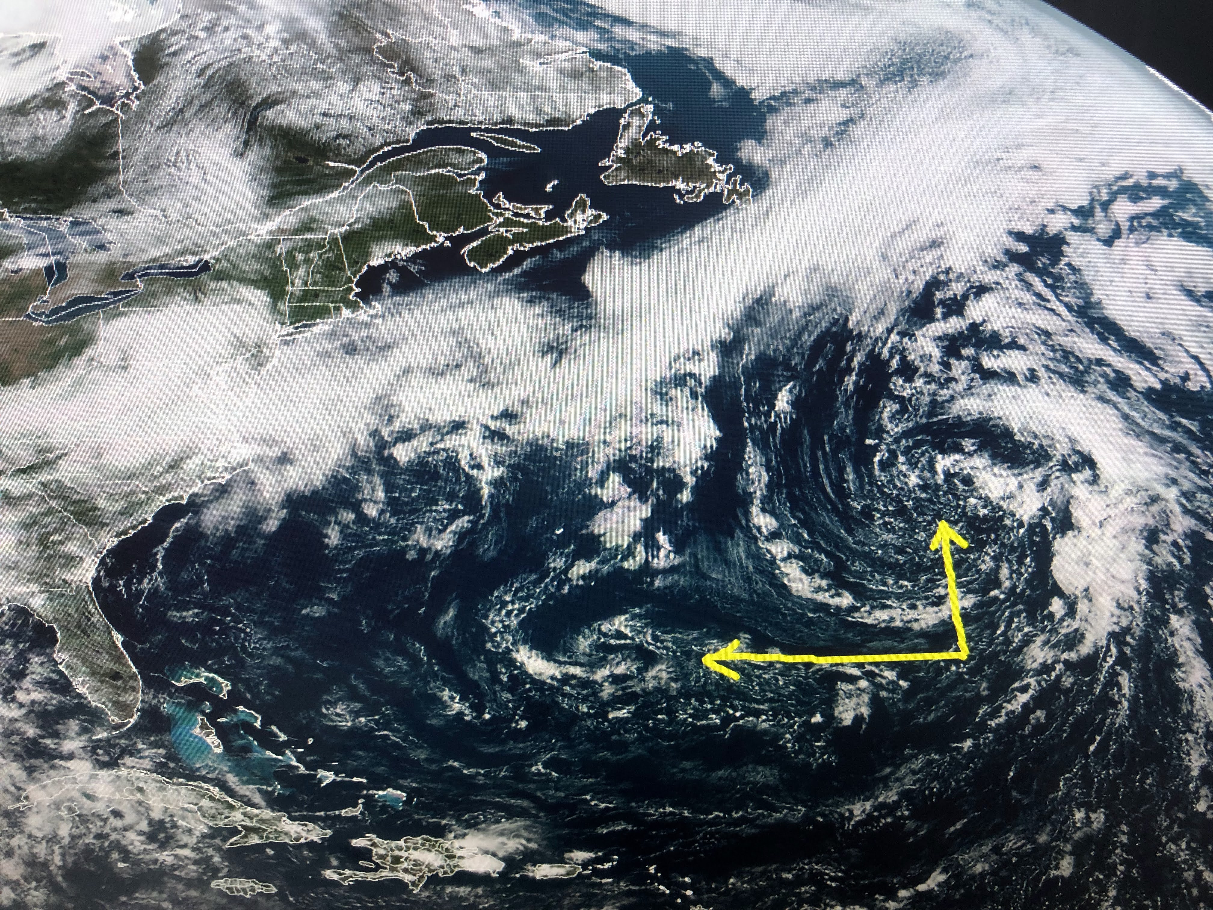

These swirls are at pretty high latitudes with colder water temps. But if either drifts southward and starts firing off T-Storms around their centers, we've seen how quickly NHC reacts. Our weather the rest of this week will not be from the Tropics. Rather, a strong upper low moving out of the Rockies will sag pretty far to the south and should trigger heavy rains along the Gulf Coast tomorrow and Thursday. SPC has a level 3 severe threat today and diminishes that tomorrow. However, my gut tells me that could be revised upward.


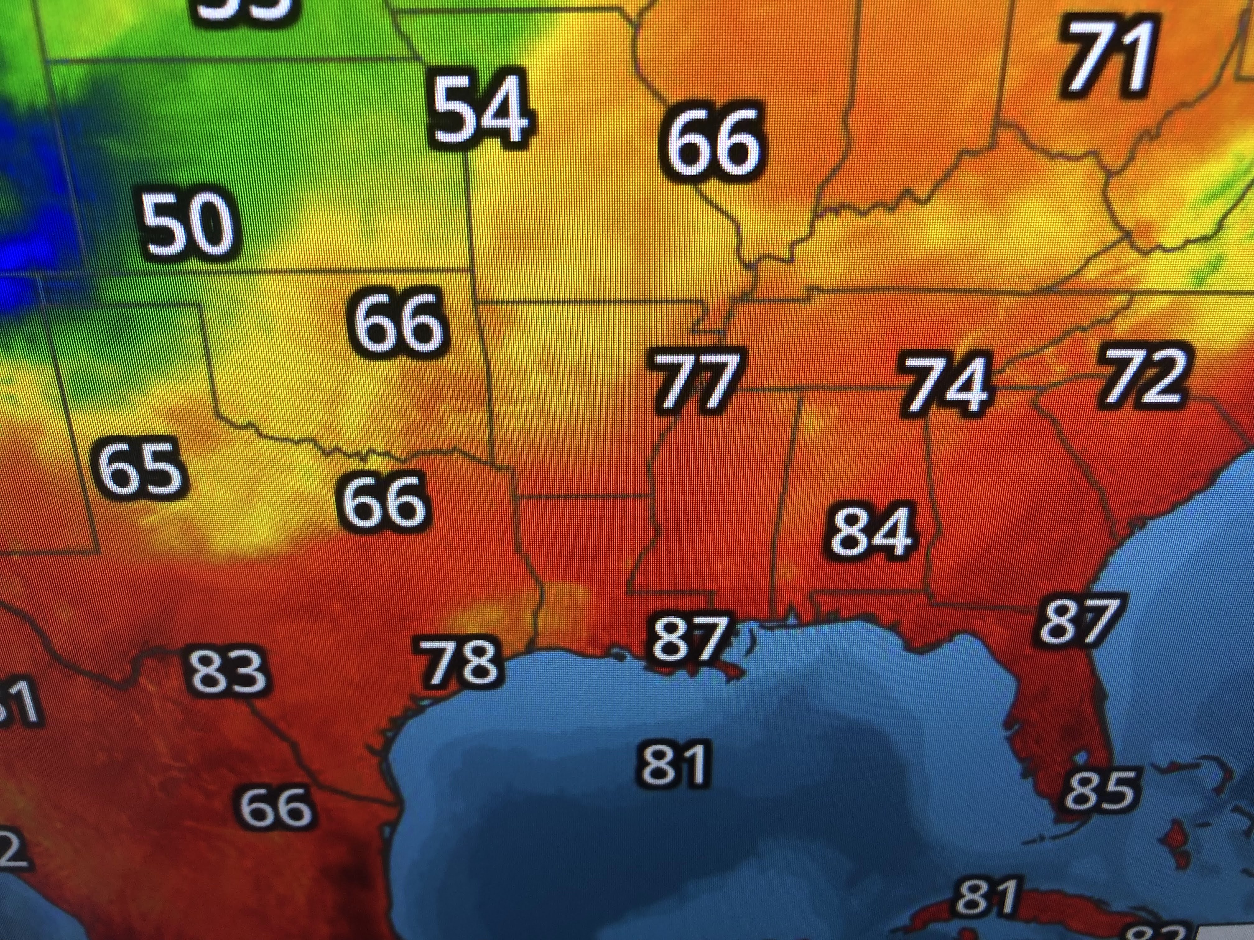
Why? Look at how the computer model (GFS) handles this system.


The 4 model graphics are valid for today, Wed. Thurs, & Friday. The main energy won't pass to our east until Thursday PM with much drier and slightly cooler air coming behind the front.


The reason we'll have a heavy rain threat is we have a potent upper disturbance diving into a very juicy air mass with 70+ dew points. Make sure you have the FOX 8 weather app to alert you in case warnings start coming out overnight into Thursday AM.


Check with David's programs for the latest info. Stay tuned!

No comments:
Post a Comment