

If you follow that logic, if 2022 doesn't have an early season storm, could that mean the number of named storms might be less that all the experts are predicting? Wouldn't that be nice! Just some interesting thinking.


Every Thursday we receive an updated Drought Monitor and it continues to have much of western Texas in extreme drought. Coastal south Louisiana is the driest as the closest rain today is way up in Missouri, KY & Indiana. However, the 7 day rainfall forecast does indicate changes coming for us later this weekend into next week.


4-6" amounts are possible over east Texas into NW LA. with 2-3"+ here including south Mississippi. But before then, Friday looks to continue hot & dry.


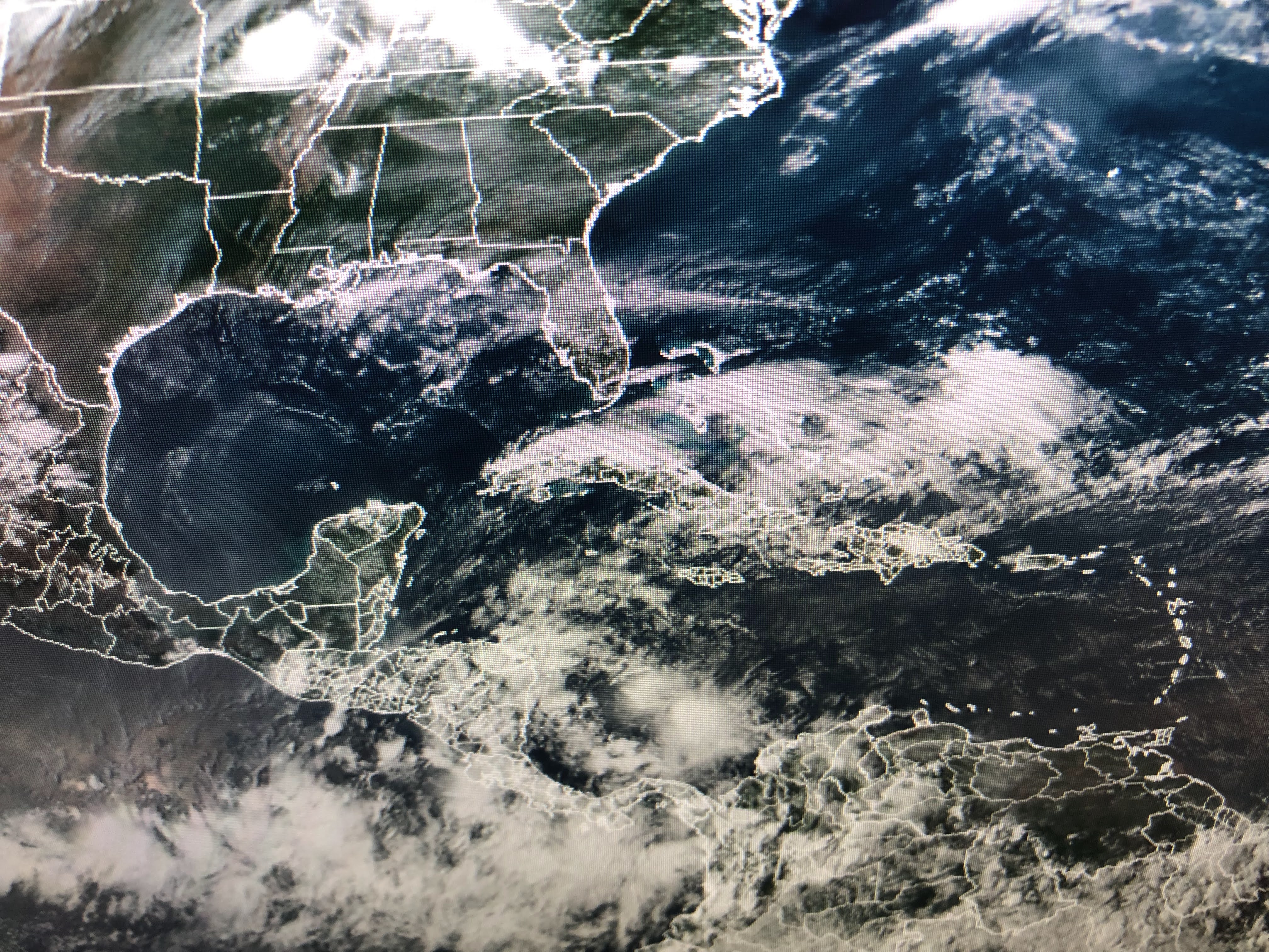
As you can see, there is no "trigger" to initiate storms besides daytime heating. Fronts remain well to our north.


Dew points are certainly high enough (60s & 70+), but a weak upper ridge is capping any upward cloud motion. That will change by Saturday as this graphic from Bruce's 4 PM program shows.

That wetter pattern will continue through Sunday into early next week. Finally, look at Denver for this weekend.


An upper low is diving down the front range out of Canada. Although Denver is near 90 today, Winter Storm Warnings are up for heavy snows. This could be the greatest late May snow ever for Denver! Note they're back to 90+ next week. Wow! Stay tuned!

No comments:
Post a Comment