


The Gulf has stable air over it as the axis of the Atlantic Ridge/Bermuda High extends to our south. I've drawn in the surface flow (yellow arrows) with the blue arrows being the upper flow.


The splitting of the upper flow is enhancing the lift at the surface from Texas into Georgia. That is not expected to change much this week resulting in a heavy rain threat across the Gulf South.


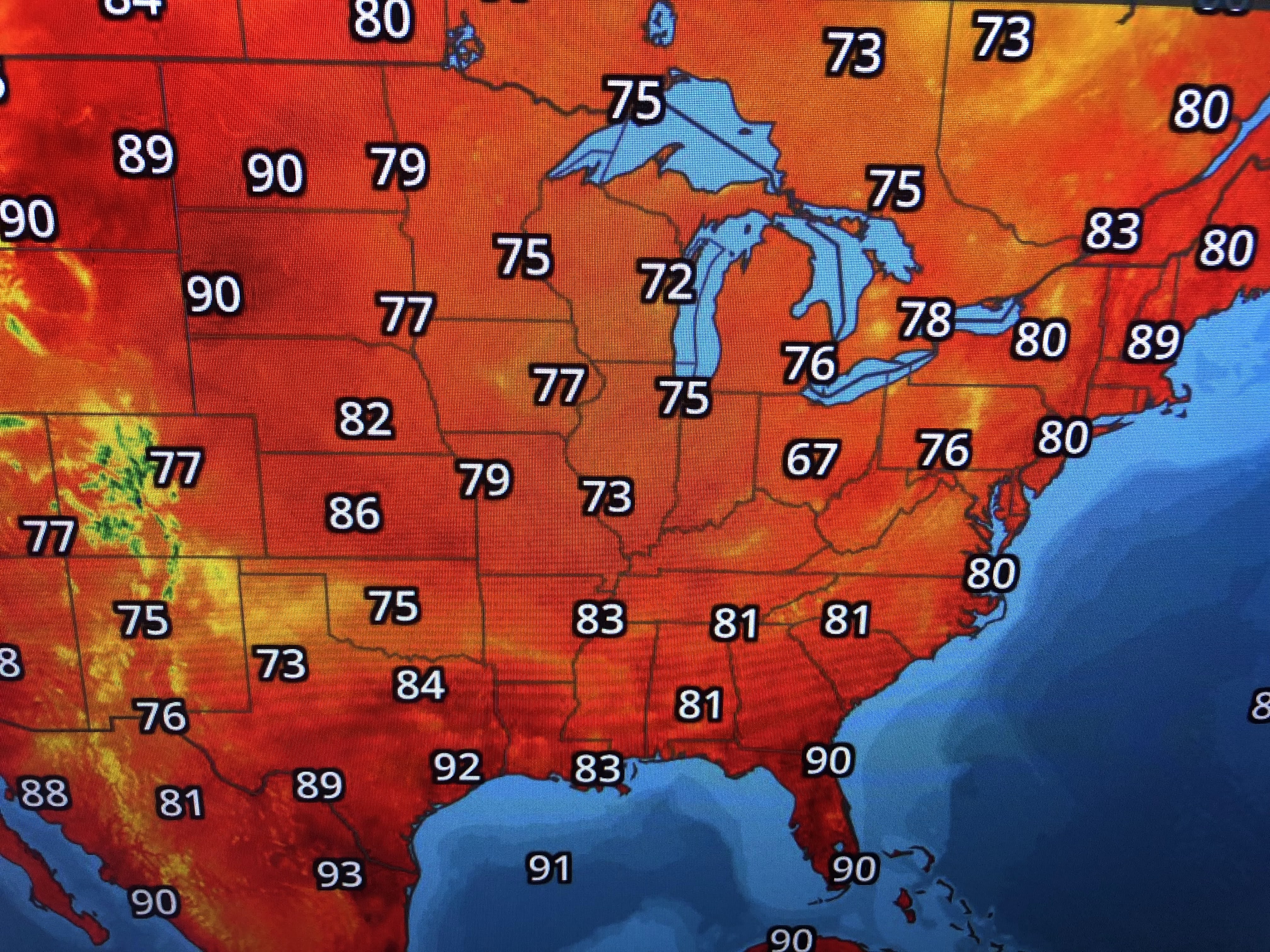
With most August surface weather maps, there are a lot of weak fronts & boundaries that show very little movement. Upper disturbances are triggering the widespread rain areas. For Texas & Oklahoma, that is good news unless they get too much.


I thought I'd close with a positive. The change of seasons is showing up over northern Canada.

Yup, those are 30s & 40s that should be spreading southward as the days get shorter & the nights longer. I'm thinking we could see a cold front here during the second or third week in September, and wouldn't that be nice! For now, enjoy the less hot due to clouds and showers. Stay tuned!

No comments:
Post a Comment