


There are clusters of storms around PTC 4, but none are rotating around any center. Recon confirmed it could not find a surface center and it'll be inland later tonight. Chances that NHC names it are diminishing by the hour as it runs into the Mexican coast.


So where will Danielle form? NHC says a system coming off of Africa has a slight chance for development, but the GFS model indicates it won't be that first disturbance, but one of several behind it. Here's what it sees 2 weeks from today.


Remember, this is the GFS model that often overplays storms in the 10-14 day time frame. IF that proves to be reality, then we will have Danielle in the first week of September. All signs point for the Tropics to explode, but it's not happening yet.


There are many disturbances across the country with the Gulf coast getting the most soakers.
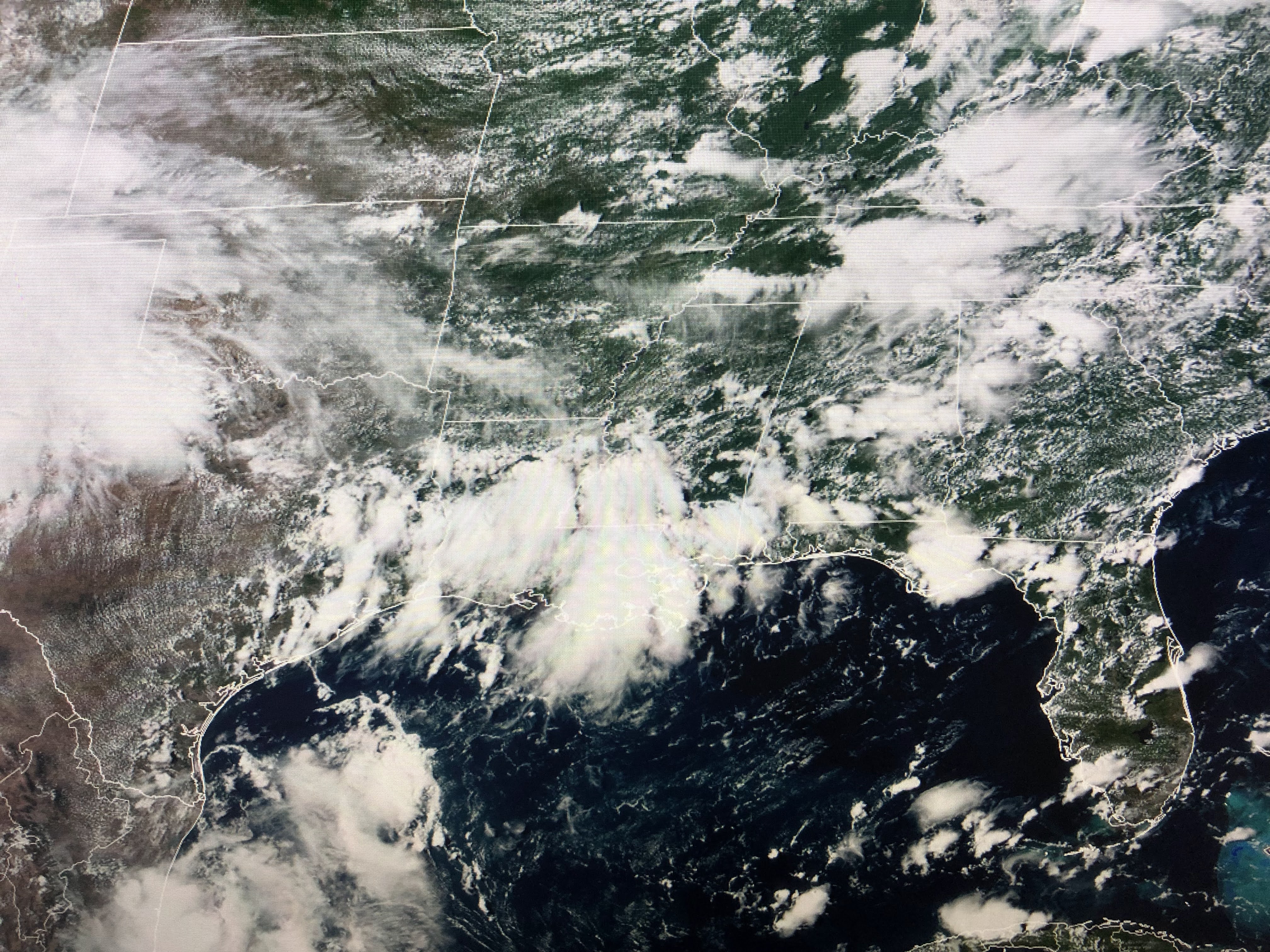

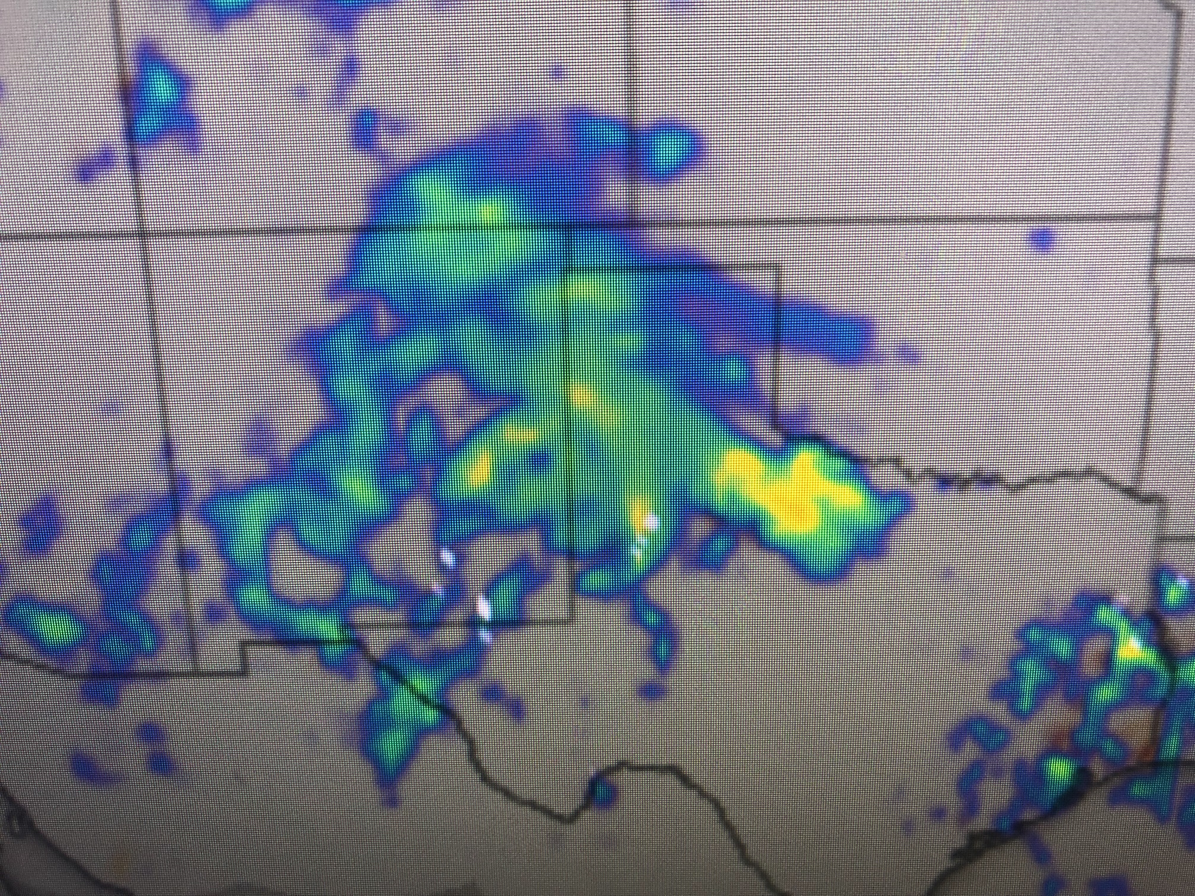
One upper disturbance is over us with another back over west Texas. That will keep the above normal clouds and storms going here well into next week.


Today's clouds & storms have brought us some cooling relief. Compared to many past Augusts, this year is way less hot. Enjoy your Sunday with an umbrella nearby. Stay tuned!

No comments:
Post a Comment