


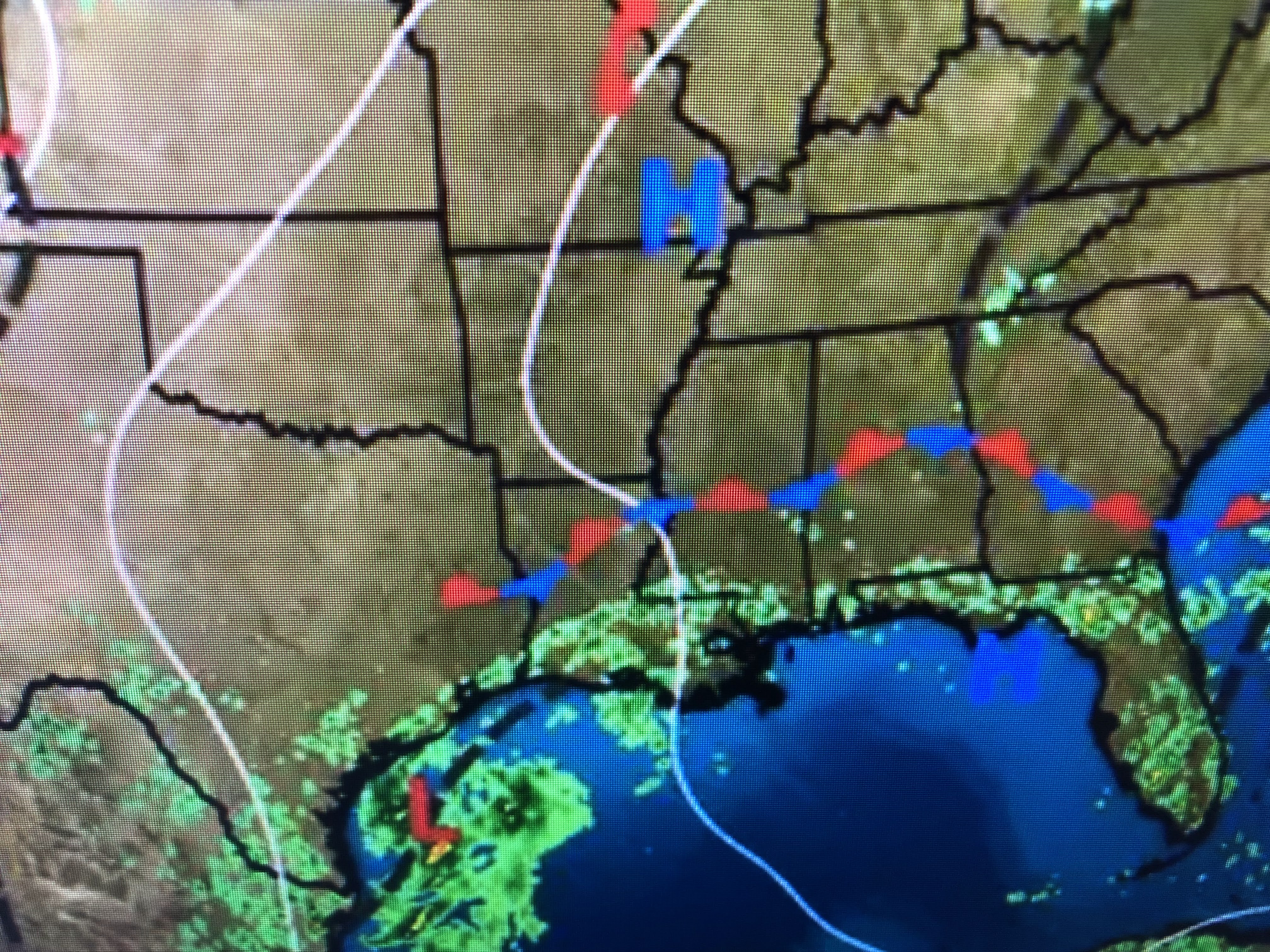
There appears to be a weak spin off the South Carolina coast, but NHC is focused on the weak spin off the Texas coast.
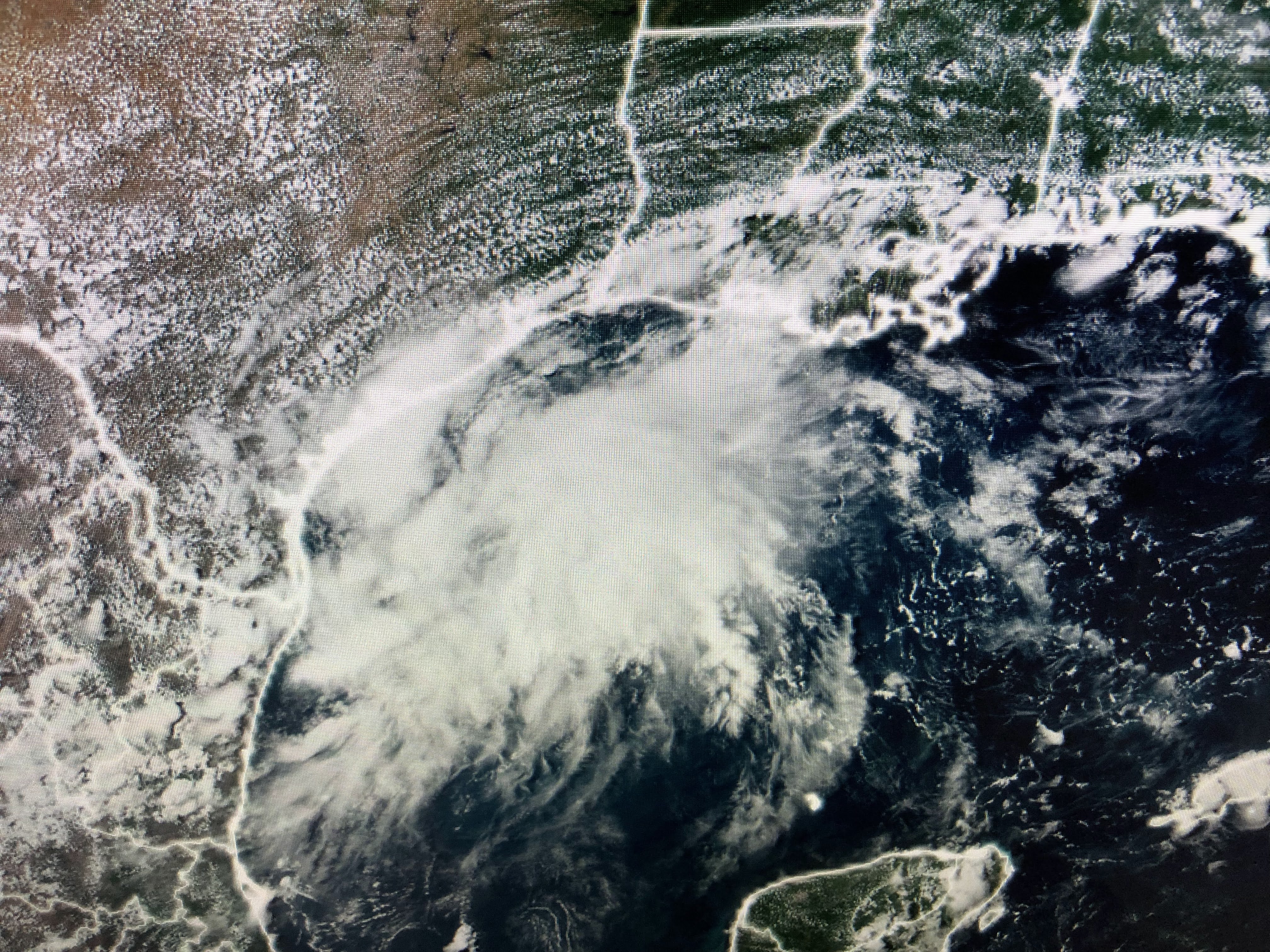


Both satellite and radar loops find a well defined circulation, but the color IR is not very impressive yet. This will be welcomed rainfall for southern Texas as they are in severe drought. The rest of the Tropics remain dead.


Drier surface air is not that far from us, but that frontal boundary has stalled. Another front may approach later next week.


Dew points of 56 in Little Rock & 55 in Nashville is the good feeling air.


Rain coverage today has been way less than the past several days. Where it hasn't rained you're 90+.

This drier spell should last into early next week resulting in our hottest stretch of weather since back in July. Today should be the 23rd straight day below normal. Our normal/average highs will start decreasing as we head towards Fall. Summer is not over, but we're past the worst of the heat. Stay tuned!

No comments:
Post a Comment