


What is lacking currently is T-Storms around the center. Most of the storms remain aligned along a boundary from off the coast of Texas stretching NE into Florida.


If I were a betting man, I'd place my money on NHC naming Danielle by Sunday morning. I say that because NHC has designated this area Invest 98 L allowing models to be run.


The middle graphic has the upper steering with a trough already past lifting away over the Northeast with the summer long heat dome over the Plains. IF 98 L heads into south Texas, that would be welcomed news as they are in severe drought conditions. Bottom line for us?


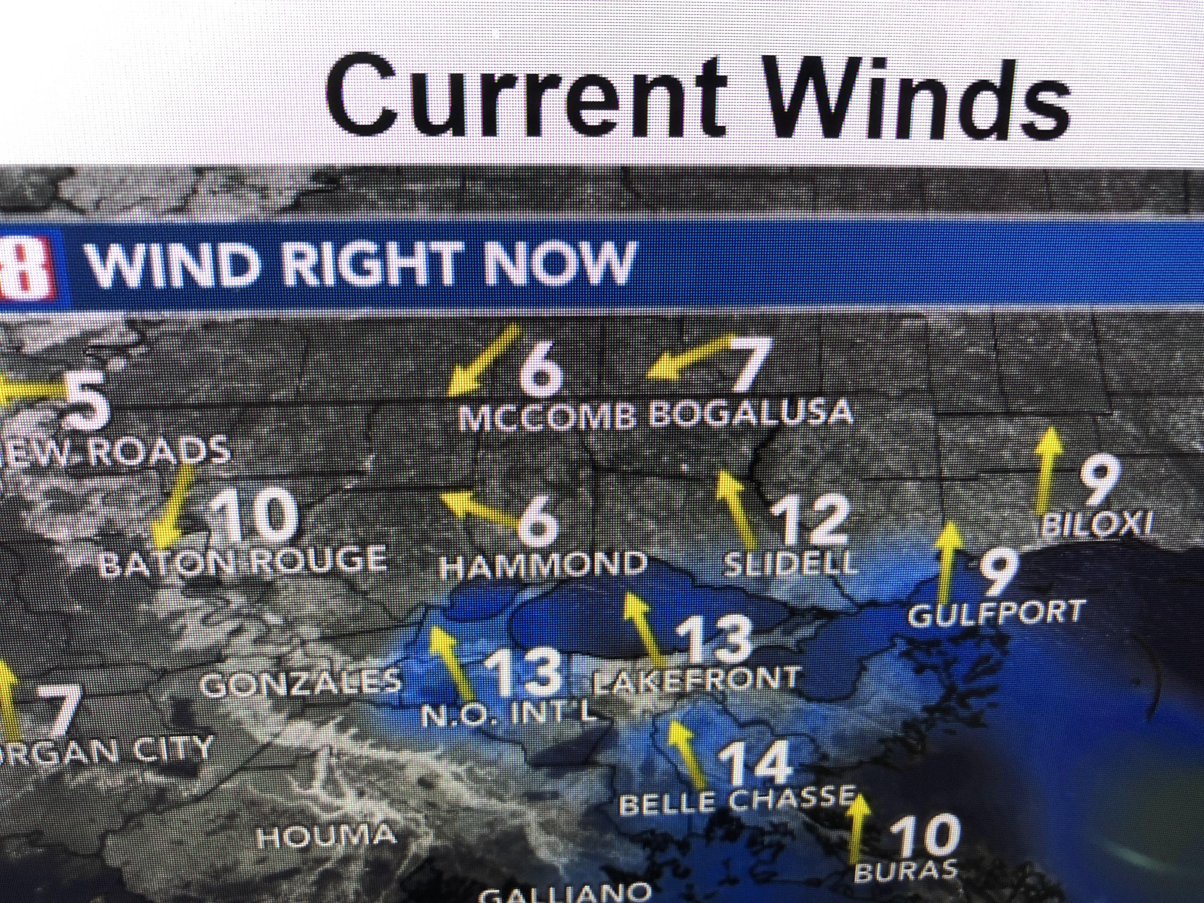
IF 98 L slowly develops into Tropical Storm Danielle, it should begin drawing in drier air to our north taking away the deep tropical westward into Texas. Note on the bottom graphic, the dewpoints are in the 40s & 60s to our north. Surface winds & seas have not increased a lot, but pressures are slightly lower.


With lower rain chances here, expect our highs to get back above normal after 22 straight days below normal.


The Atlantic remains shut down because of Saharan dust and westerly wind shear. For now, we focus on the western Gulf. Stay tuned!

No comments:
Post a Comment