


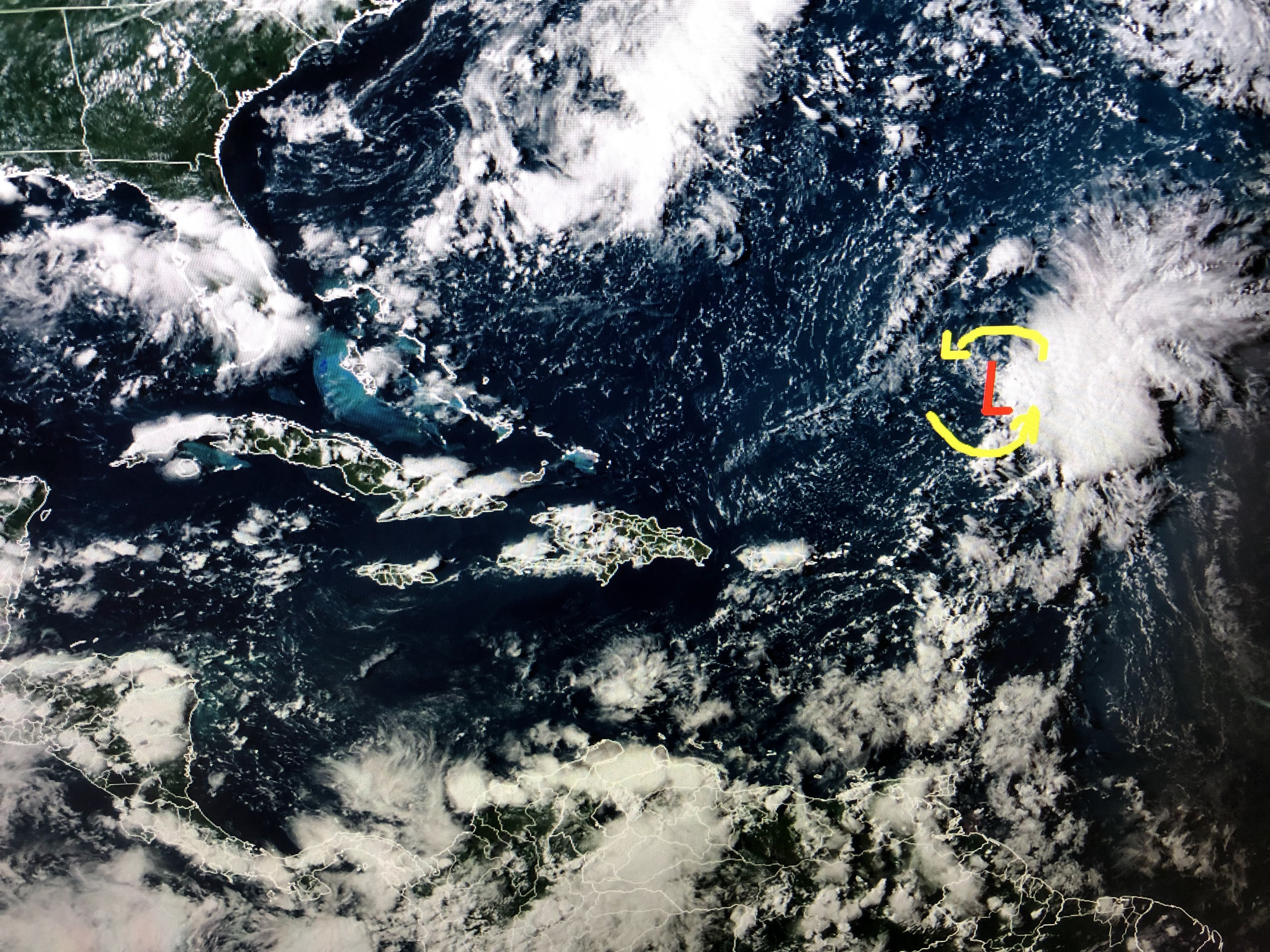
The Tropics are amazingly quiet for mid August as 98 L moved inland around daybreak. I salute NHC for not naming it, but 98 L looked better organized than Colin, which they named & it lasted less than a day. Maybe they felt they should not pull the trigger too quickly on 98 L since it wasn't going to be a major threat?


It is bringing much needed rainfall to south Texas. Otherwise, the Tropics look to stay dead unless those swirls well off the East coast do something.


As we reach mid August, it's a little too early for any real Fall feeling cold fronts to reach us. Sometimes a left over boundary will sag through us, but we're about a month away from a noticeably cooler front. My oak tree is filled with acorns and I'm hoping that means an early Fall is coming?


It is cooler over the Great Lakes, but still plenty hot down South.


The next 2-3 days look to be above normal/average on our highs as rain chances will only be 20-30%. Higher rain chances return later in the week resulting in temps being less hot. As long as the Tropics remain quiet, I can deal with the heat. Stay tuned!

No comments:
Post a Comment