


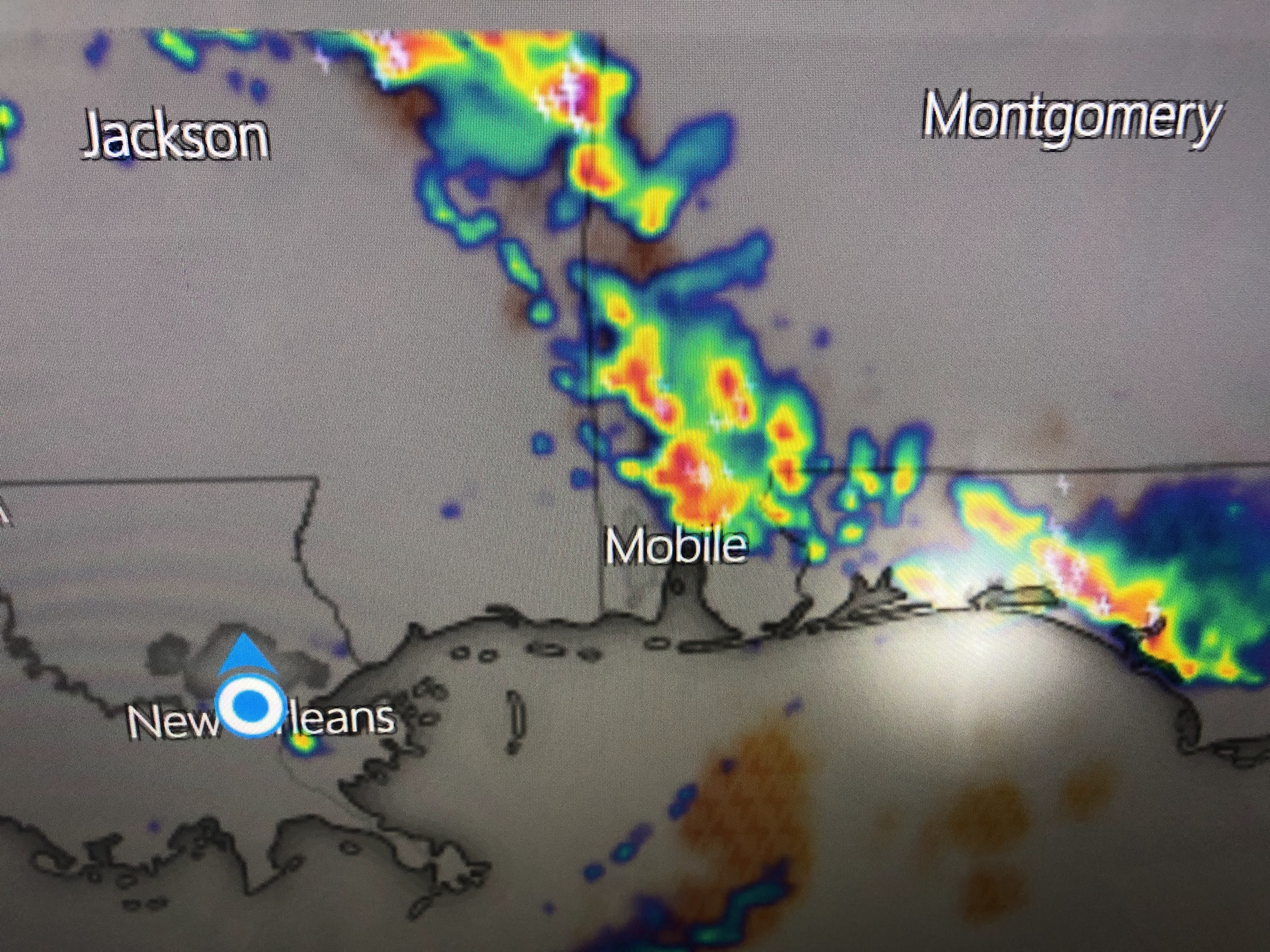


The upper level heat dome has been centered over Oklahoma & Texas for most of this summer. You can see the river of moisture rotating around the upper high diving to the SE with the eastern trough. The beaches are getting rocked with big storms this afternoon while I found only one just to our SE. Note most temps without rain are in the low to mid 90s.


Fronts are tryng to push into the deep South, but there isn't enough real cold air yet to help force the fronts down to us. It's remarkable to see our 76 dew point with few storms developing despite such deep low level moisture.


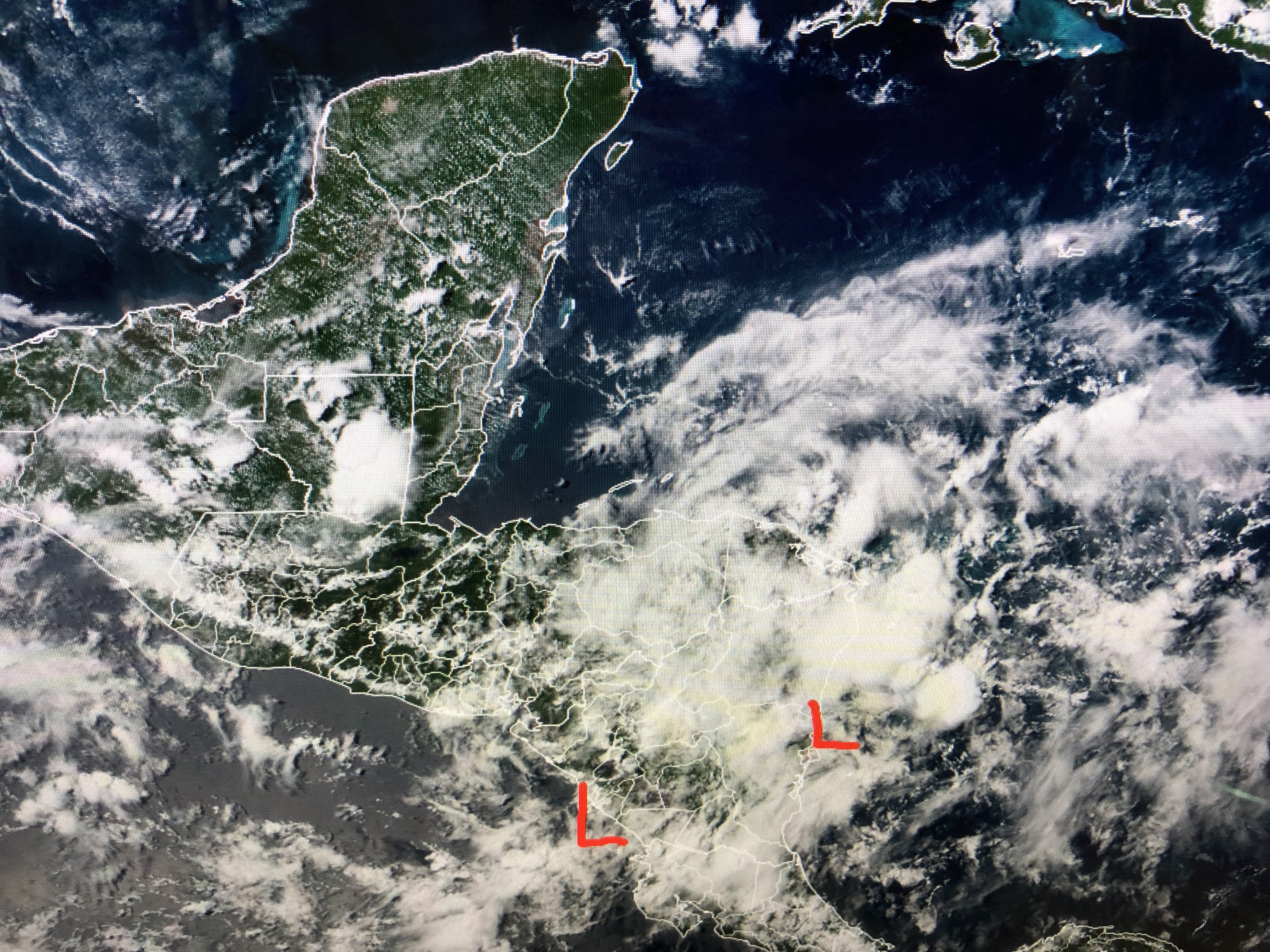

NHC is watching an area of low pressure, mainly over land, that they believe could develop later this weekend over the southern Gulf. Also, way out in the Atlantic, models are hinting a system currently over Africa might become better organized NEXT week.


For now, the Tropics remain quiet and our focus is on our typical, brutal August heat. Hang in there Gang. Stay tuned!

No comments:
Post a Comment