


None of the computer models have any activity for the next 5-10 days. The Euro is hinting the MDR (Main Development Region) out over the Atlantic will wake up during the last week of August. Until then, we look in closer.


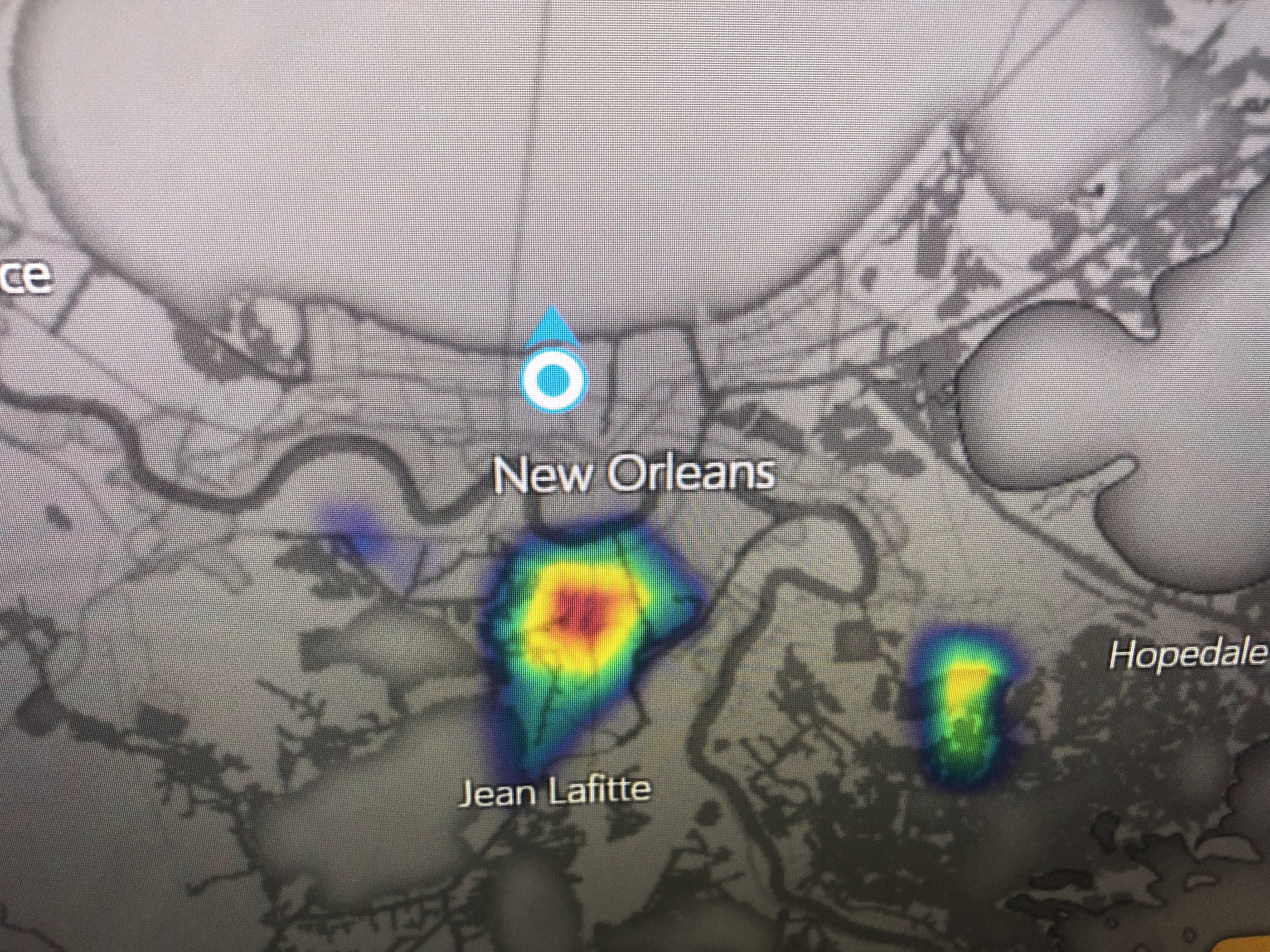
The well defined circulation, that brought welcomed rains to south Texas, has moved up the Rio Grande. It easily could have been named since winds gusted to 43 mph along the lower Texas coast. NHC named Colin when his top winds were below 40 mph. There is another weak low west of Tampa that is not expected to develop.


The heat dome continues over the central Plains, but cold fronts have brought relief to the Great Lakes & Northeast. Our only relief comes from daily storms and today they were very few.


Without the clouds & showers, temperatures have soared back into the low to mid 90s. Little change is expected until later this week when a weak cold front approaches.


Sure it's August hot, but many past years have been far worse. I think it was 1980 when EVERY day in August was 95 or hotter! That year we even had 90+ into October. Let's just be thankful we have no storm threats. We can deal with the heat for another couple of weeks. Stay tuned!

2 comments:
Europe is having a very intense drought this summer, I wonder if there's any connection to the slow hurricane season.
*Could it be that big bright yellow round thing in the sky? Since 2008 It has been PRODUCING record low SUN spots. There is a lag in the ocean temperatures being water takes longer to heat and cool. This sun spot cycle appears to be ramping up quick and could be over quick. Something to ponder about...
Post a Comment