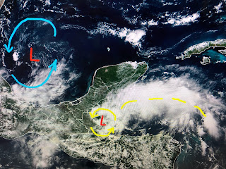
The area NHC is following is a tropical wave interacting with an upper low over the Bay of Campeche. As the upper low pulls westward, shear should lower providing the slight (30%) potential for development. RIGHT NOW, models don't explode this feature, but do bring much needed rain into must of Texas. It should have no impacts on us.
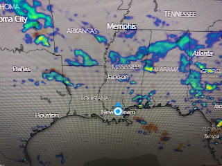
The big local news is a weak frontal boundary will sag near us late Thursday into the weekend. This should bring us some relief from the August heat.
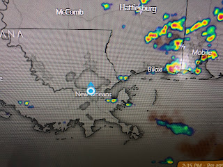
Showers are just beginning to fire today. Look for coverage to be much higher Thursday PM into Saturday. My yard and garden need a good soaking plus it'll be less hot. Finally...
The GFS model has this feature off the mouth of the River for Sunday morning August 28th. Not gonna get too excited/nervous yet as that is 10+ days out. But we all know what hurricane anniversaries are on August 29th (Katrina, Ida) . In fact, some of you "old-timers" like me remember today is the anniversary of Hurricane Camille making landfall back in 1969. Stay tuned!


1 comment:
Bob, your last paragraph is why I don't like my birthday. It's August 29th. My birthdays have really sucked from time to time. Thanks for all the great weather information.
Post a Comment