


NHC is still highlighting 2 areas out in the Atlantic. Invest 90 L dissipated yesterday, but 2 other disturbances have the potential to develop.


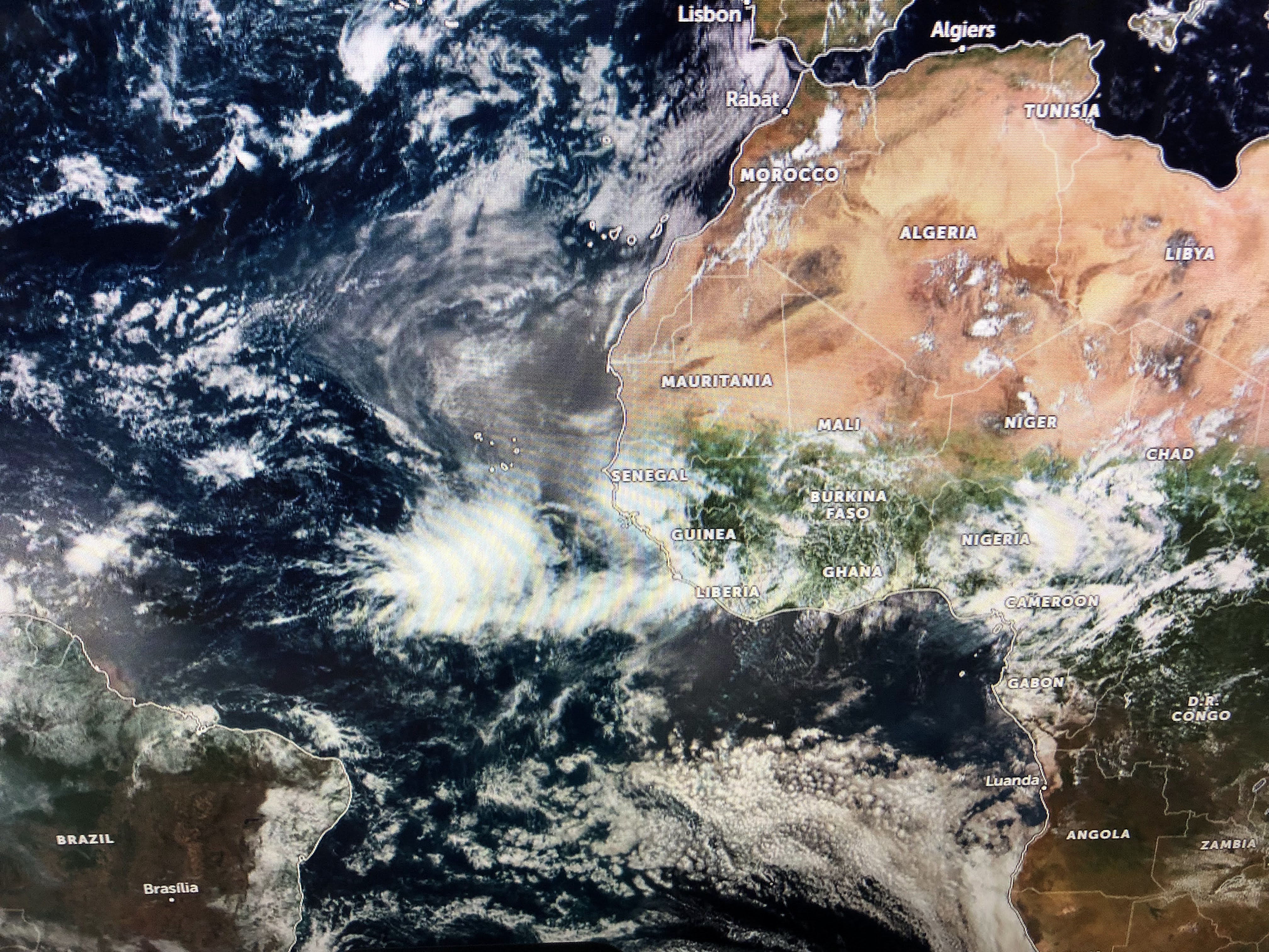
The waves are lining up coming off of Africa and one of these has to develop as this is what is supposed to happen during the heart of hurricane season. Not concerned with something that far out as it'll take 2 weeks to reach the states. So we focus on the weak circulation east of the islands.


There currently are no storms around it, but I expect NHC will start calling it Invest 91 L shortly so they can run model tracks. Currently we have UPPER lows creating hostile environments for the Gulf & western Caribbean. The GFS model is the only one of the major models that develop this feature. Remember my last post with the GFS bringing it into the Gulf NEXT Friday?


Look at the over night model run. Yea, it's in about the same place, but the intensity is way less bullish. Yesterday the GFS took this system into the Florida beaches. Over night it shifted farther to the west with Lake Charles being the landfall.


The top view is from yesterday valid for NEXT Saturday with the middle last night's run valid for NEXT Sunday and the last valid for NEXT Monday. Obviously, that should send up some red flags, but let's remember, the GFS is notoriously bad beyond 10 days, often overplaying what really happens. I will get more concerned over this weekend IF the GFS stays consistent on developing a storms & brings it into the Gulf for NEXT weekend. In the short term, we have nothing to worry about except the heavy rain threat that could cause some street flooding. I'll try to post again late tomorrow afternoon. Stay tuned!

No comments:
Post a Comment