


There is another plume of Saharan Dust that will limit development out in the Atlantic. The bottom graphic courtesy of Baynews 9 in Tampa. NHC has not increased either of the two areas they are following, although I wonder why they haven't highlighted the area east of Florida along an old frontal boundary?


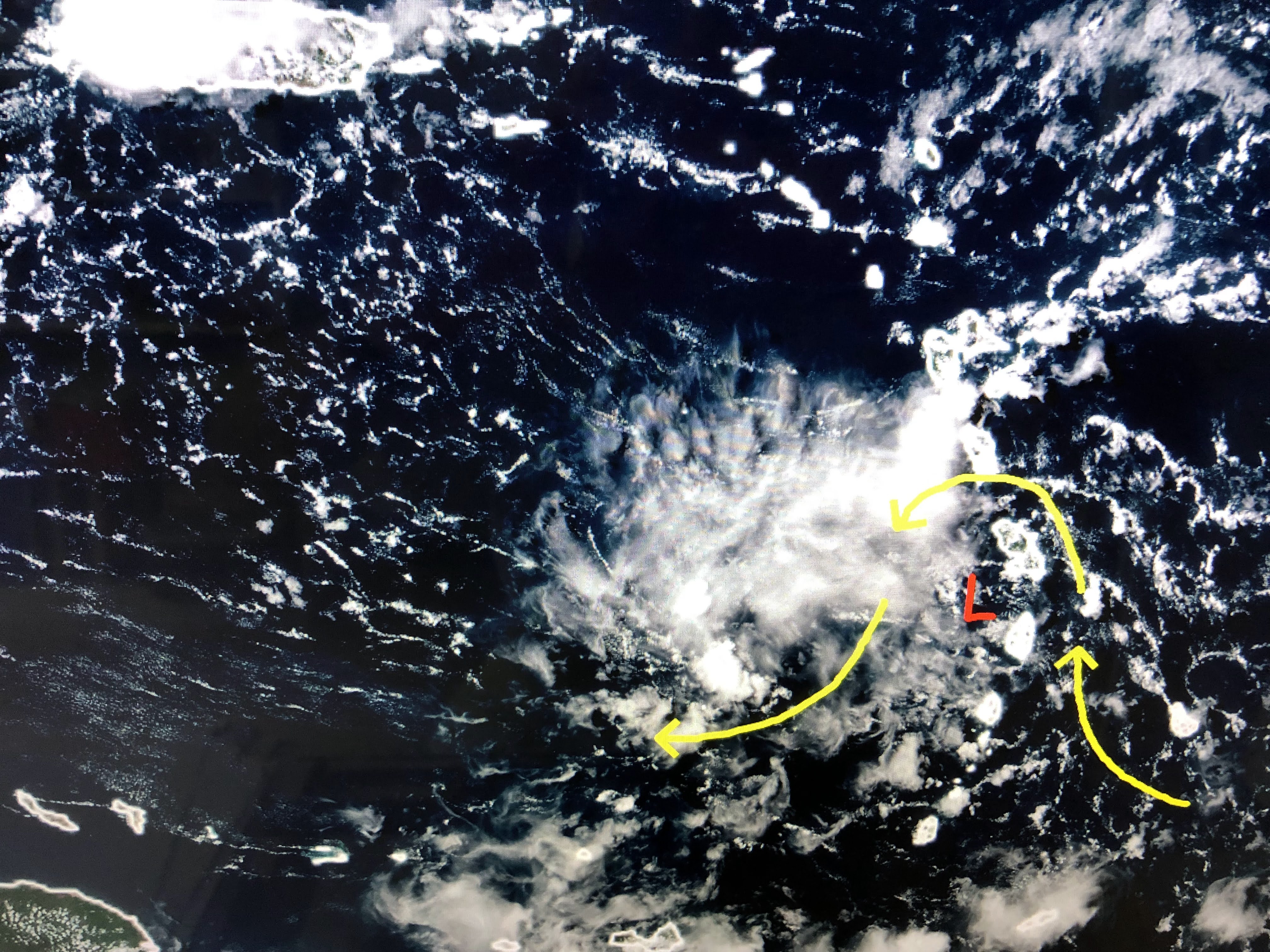

The weak spin just entering the eastern Caribbean is unlikely to do much until it gets farther to the west. This was the system if you recall that the GFS first placed over the eastern Gulf, but then changed it daily. Look where there now say it might go.


That's valid for Monday Sept. 5th. Just shows you how you cannot get concerned about model runs beyond 10 days. The bottom graphic I grabbed from Weather Analytics concerning this year's lack of storms globally. It's called the ACE (Accumulated Cyclone Energy) Index and more accurately combines a storm's strength/intensity & duration. The top line is the Tropical Atlantic, the next the eastern Pacific followed by the western Pacific & Indian Ocean. The bottom line is the global ACE that is 56% of normal. We are at 2.8 when normally we should be at 23.5. Hope quiet continues!


We continue to see above normal clouds and showers, but it appears the worst is shifting to our east.


Until a cold front comes or an upper high builds over us, look for daily rain chances through the weekend.

The last week of Meteorological Summer shows no tropical threat and that includes August 29th! Stay tuned!

No comments:
Post a Comment