


Of course, we are all too familiar with that "donut hole " look from all the major storms of the past couple of years. One year ago, Hurricane Ida plowed into south Louisiana as a Cat. 4.


As we all remember, Ida appeared to be heading towards Morgan City, but made an unexpected jog/wobble back to the right that brought the heart/eyewall of the storm across the South Shore. That is why tracking the center line of a storm is so important as any wobble left or right will bring a huge difference in impacts. Fortunately, 2022 seems to be way different. We're still watching many areas of disturbed weather, but none seems to be getting stronger.


I thought 91 L would be named Danielle by now, but it is struggling with stable air, wind shear, cooler waters, or something that is hindering development. Note the lack of storms around a well defined low level center. To the north of that are several more swirls.
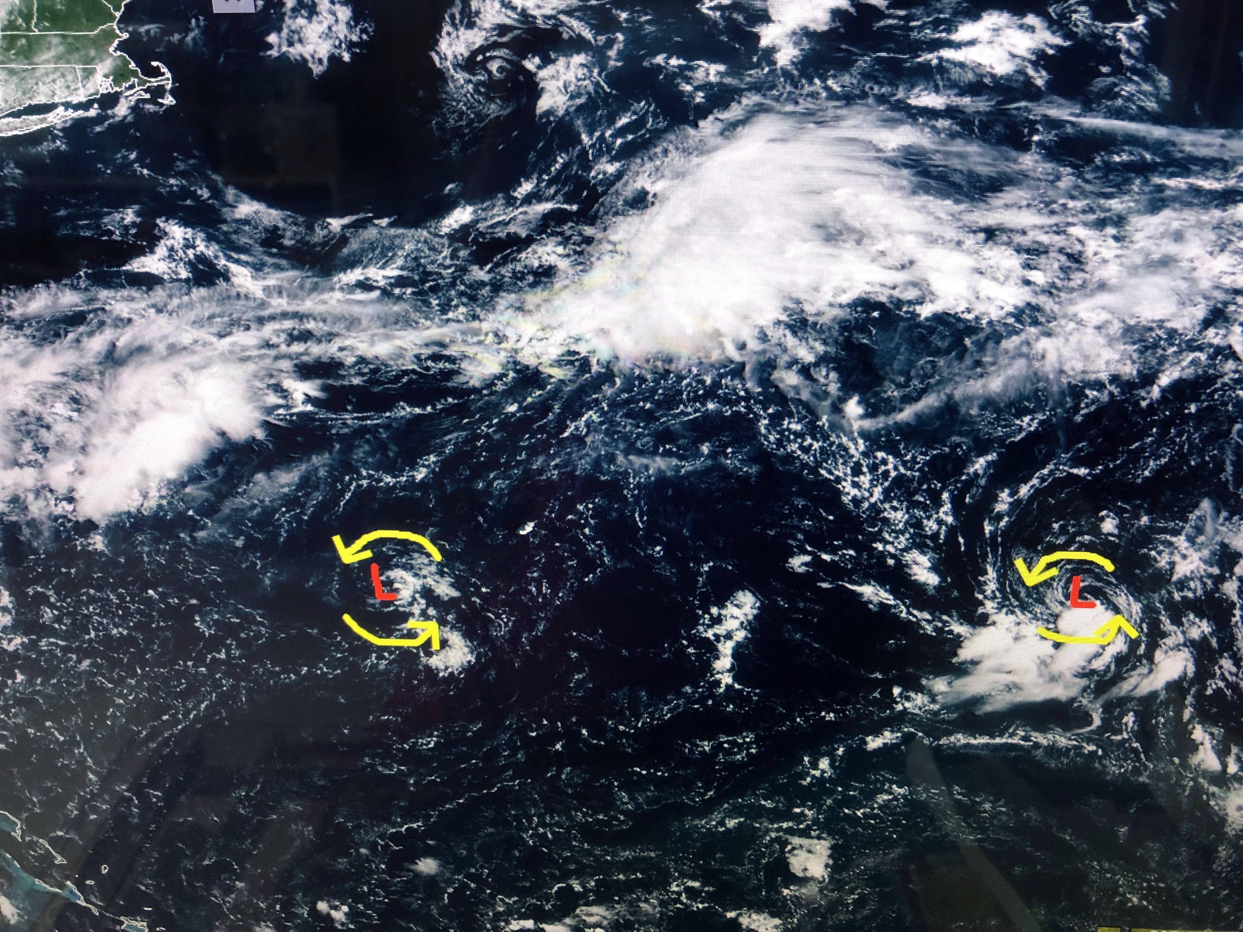

They are south of a frontal boundary and that might allow them to develop. That old front extends to the Georgia/Florida coast where a cluster of storms has fired off east of Savannah.


The Caribbean has two tropical waves moving to the west. The color IR also shows no organization, just random T-Storms. The GFS has backed off developing this feature.

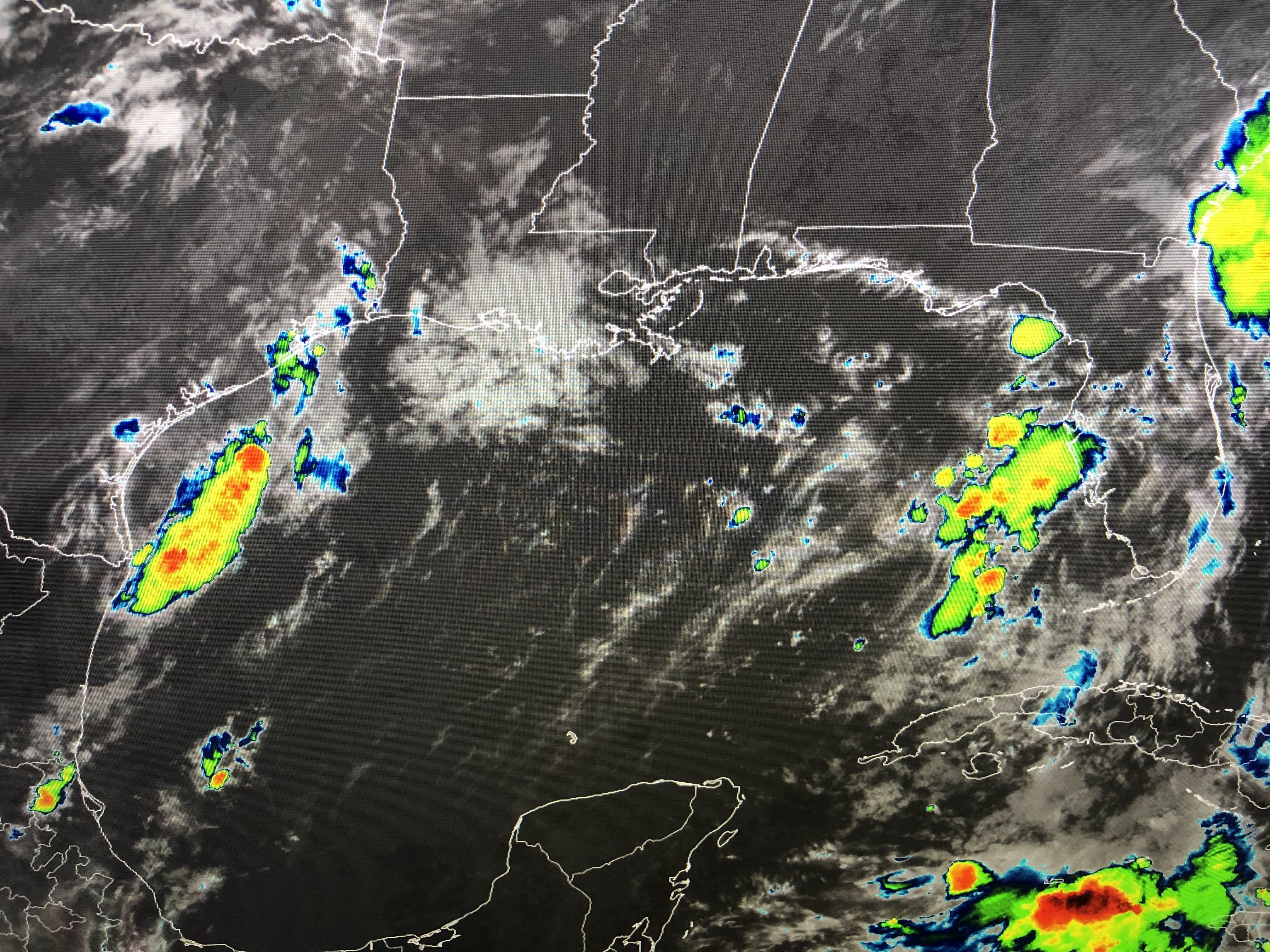

And that cluster of storms over the Gulf the past two days is gone. There continues to be a surge of tropical moisture into the Texas coast, but they need the rain. The bottom graphic I grabbed off The Weather Channel (TWC) this morning. It's a statistic that I hope we can become # 1?!!! Finally...


We all have seen Mother Nature at her worst. This morning's sunrise was her at her best! I'll post again after 4 PM. Stay tuned!

1 comment:
Thanks Bob!
Post a Comment