


NHC now says the swirl off of Africa has near zero chances to develop, while the system closer to the Islands is the one to watch.


Computer models continue to indicate slow development and a recurve to the north over the next 5 days. The other swirls are west of Danielle and over the Yucatan.


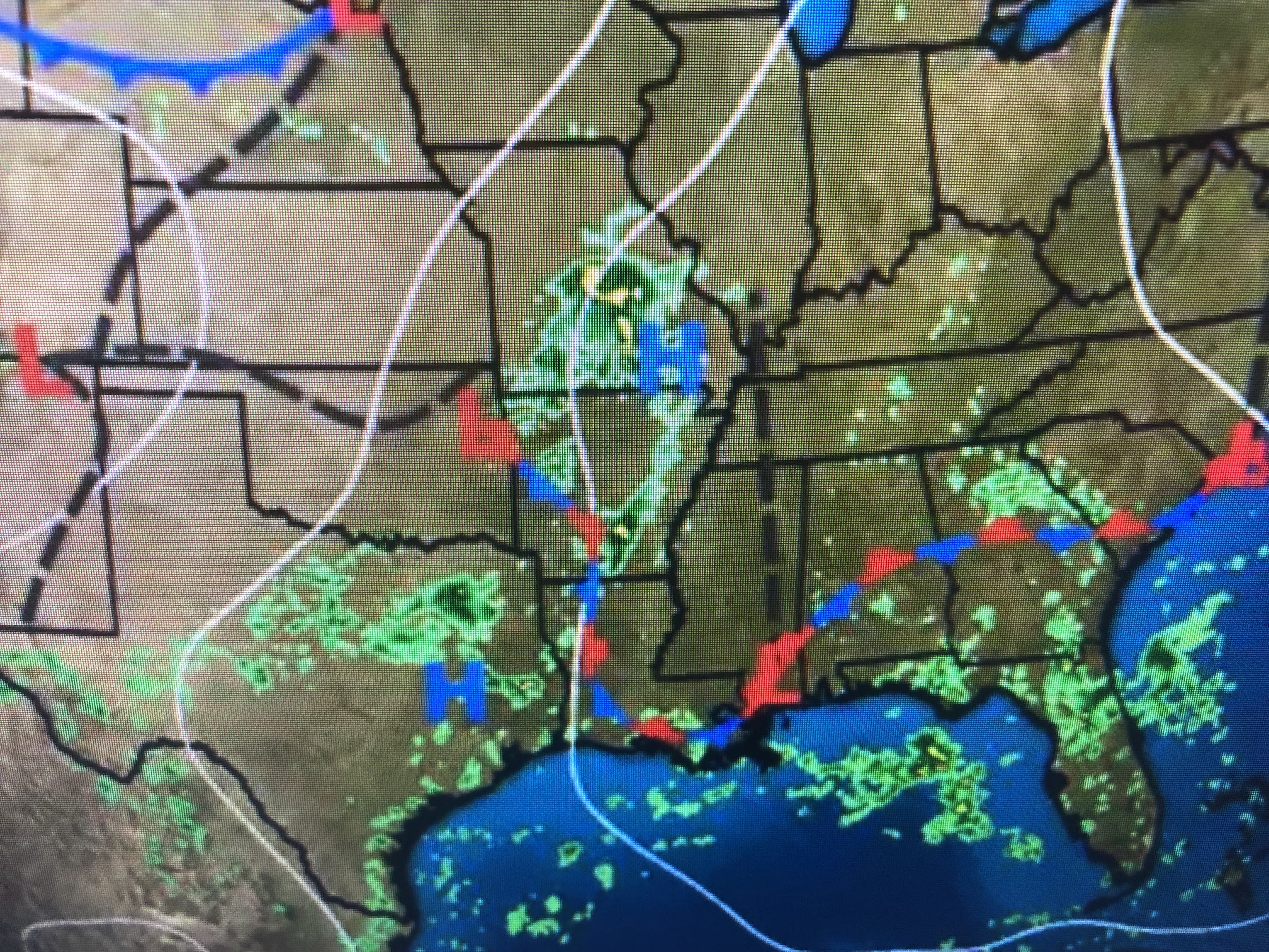
NHC is not mentioning either of these lows and none of the models develop them.


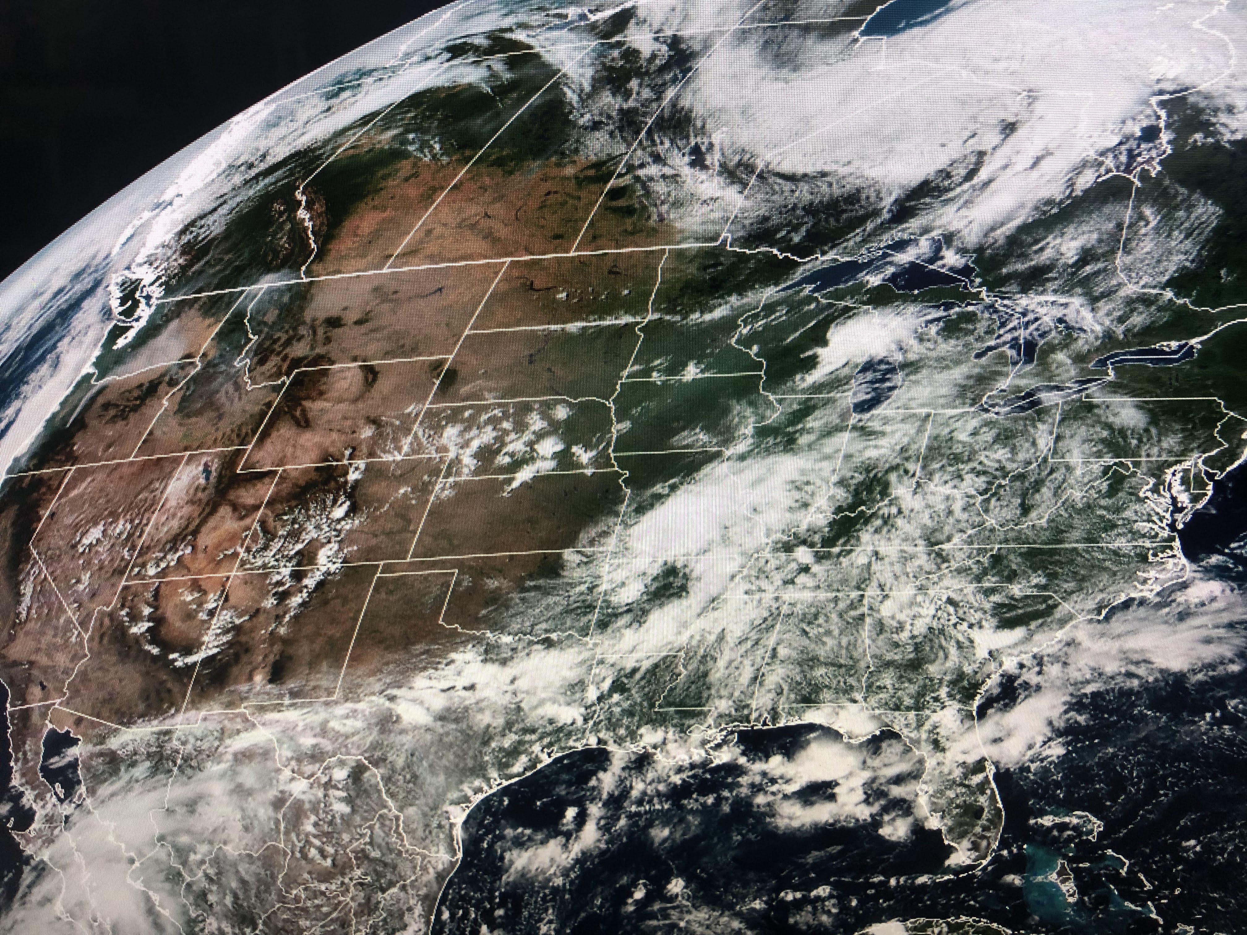
The Gulf has no organized cloud clusters and the only other swirls/lows are over north Georgia and northern Arkansas. Unless something bubbles up overnight, we will not have any tropical threats for the next 7-10 days.


I see no signs of a real cold front during the next 2 weeks. In fact, the upper high over the West is making for a late season heat wave.


The "dry slot" that was over us yesterday is retreating as storms are firing off to our south and west. Look for more storms around for the next couple of days as we get back to basic summertime.


Finally, as college football kicks off this weekend, something to watch into next week is the tropical moisture coming across Mexico from Tropical Storm Javier.


This week's drought monitor still has much of Texas needing more rain. Looking at Louisiana, the recent rains have taken away all the drought areas. Enjoy your holiday weekend and stay tuned!
r
No comments:
Post a Comment