


On the flip side, there is an upper ridge over the eastern states bringing summer-like temperatures (70+) to Duluth, Green Bay & Detroit. A piece of upper energy near Las Vegas will kick out tomorrow triggering a round of severe storms to our west. SPC has a level 3 risk to our west.


Models are weakening that disturbance and keeping it far to our north on Saturday. Timing will be the main concern as LSU hosts Alabama in Tiger Stadium at 6 PM. Nicondra showed most of the rain will be on Saturday morning.


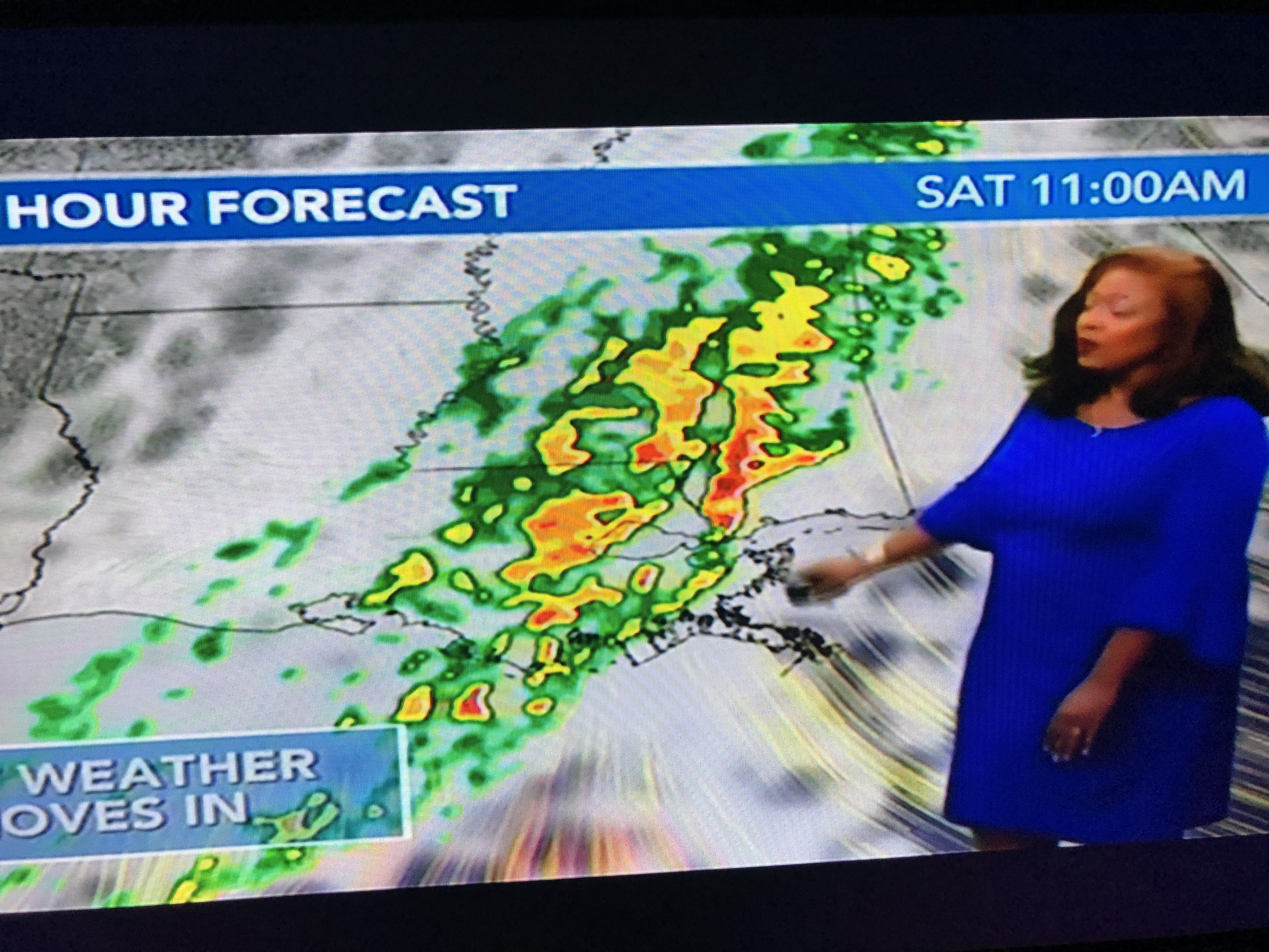


Let's hope the model is correct. We do need another good soaking and low level moisture is streaming northward along the Texas coast.


70+ dew points have reached Houston and they'll be here by tomorrow. You'll notice the different feel to the air. Models are predicting generally 1-2" of rain and that would be nice.


If you're looking for sweater weather, you'll have to wait another week. Waiting for Nicole may not take that long.


NHC is still watching the Tropics with Hurricane Martin leaving for the north Atlantic and Lisa now inland as a depression over Mexico. So the focus turns to east of Florida where models keep trying to develop a large area of low pressure. Since there is a low of cold air to the north, whatever tries to form will take a while to develop any tropical (warm core) characteristics. The east coast could be in for a rainy, windy spell of nasty weather into early next week. Here it's still summer-like tomorrow(80s) with increasing humidity. Stay tuned!

No comments:
Post a Comment