


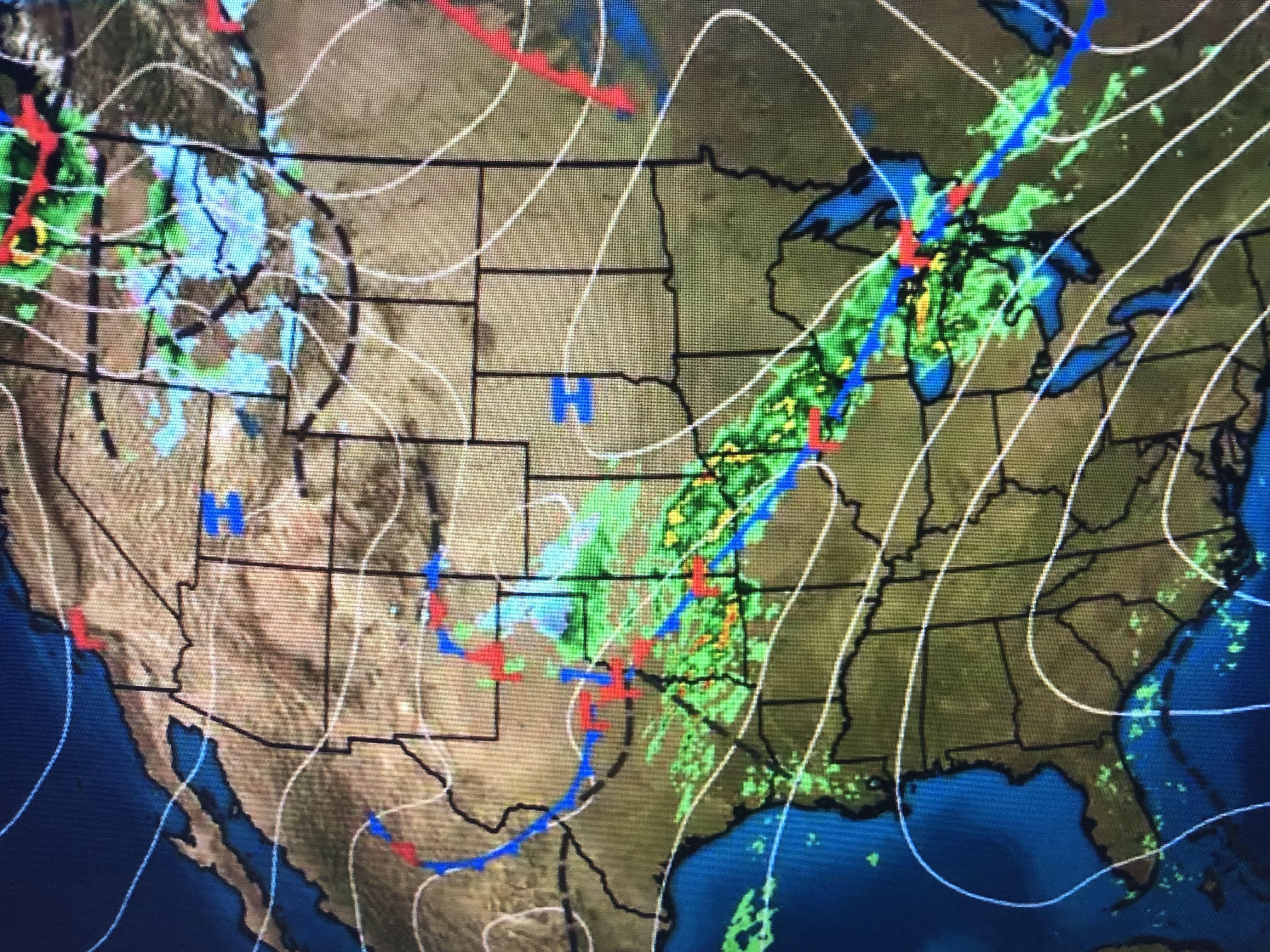
In fact, Denver's first snow typically happens in late October. The upper disturbance that brought yesterday's snow is now triggering severe weather to the Plains. A tornado watch is in effect for parts of Texas & Oklahoma with more watches to come.


Much of northern Canada is now way below zero so we don't want to see a deep trough develop over the great lakes & East Coast as that would mean the real cold would come to us. I don't see that happening for the next 7-10 days, but the second half of November could flip-flop to very chilly here if that happens.


Today's severe storms are developing right where SPC predicted with a level 4 severe risk. Fortunately, that severe threat will weaken as the main energy of this storm lifts well to our north & east tomorrow. We do have a level one risk so that means we could see a stray strong storm or two. Here's the timing...


Look at your location to see where the rain reaches you. Note the strong winds that will be out ahead of the front tomorrow morning. Rainfall totals generally look to be 1-2" with possibly as much as three inches in isolated spots.


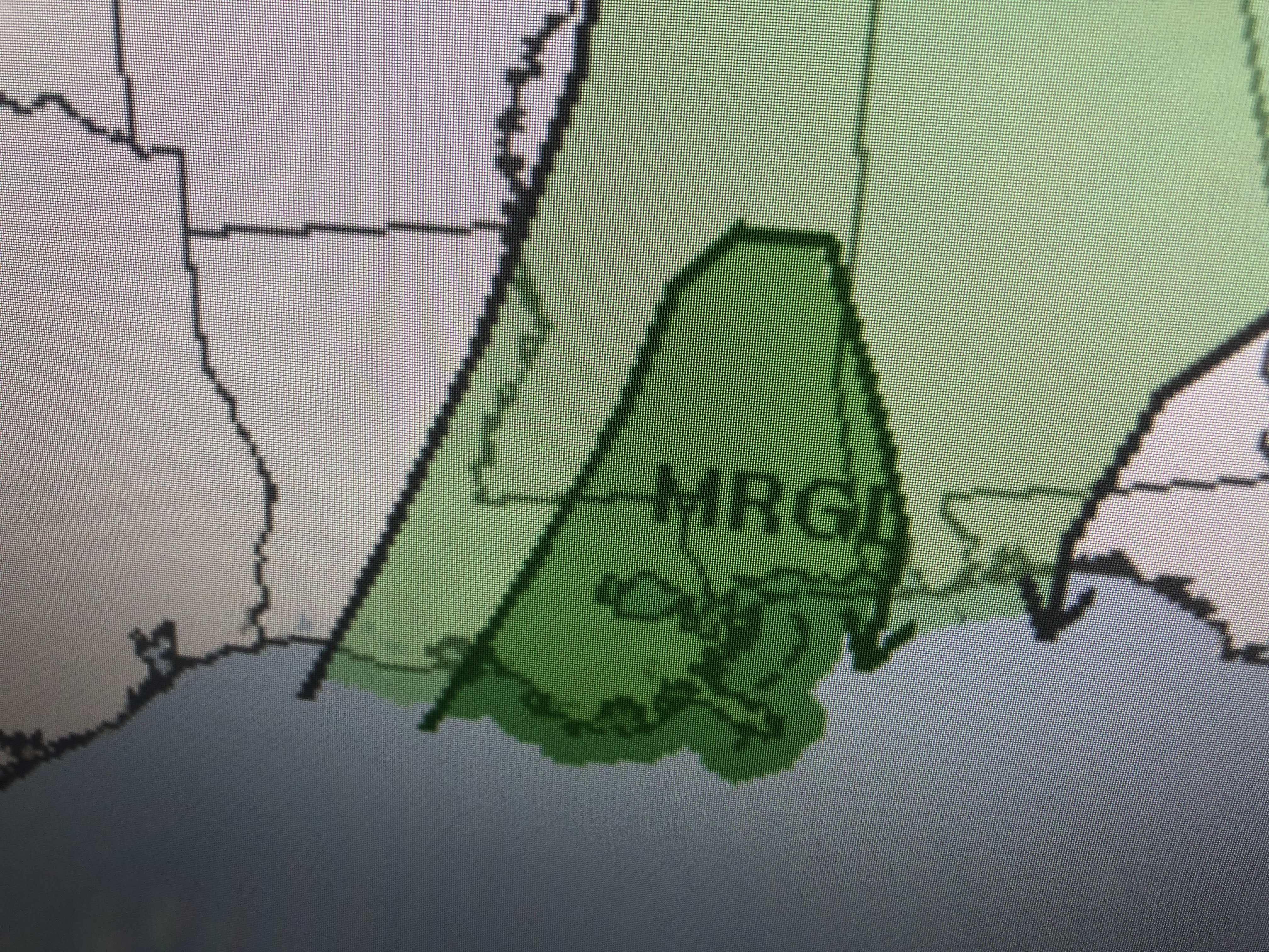
The blue on the surface map indicates snow falling behind the front. Yesterday Oklahoma City was in the 70s into early this morning. they have stayed in the 40s all afternoon with strong north winds. Burrr!!! There is a wedge of low level moisture (70+ dew points) out ahead of this front so I'm optimistic that we will get a good soaking BEFORE the LSU/Alabama game.


Once this front passes, we will dry out, but very little colder air is expected until the following week. Finally...
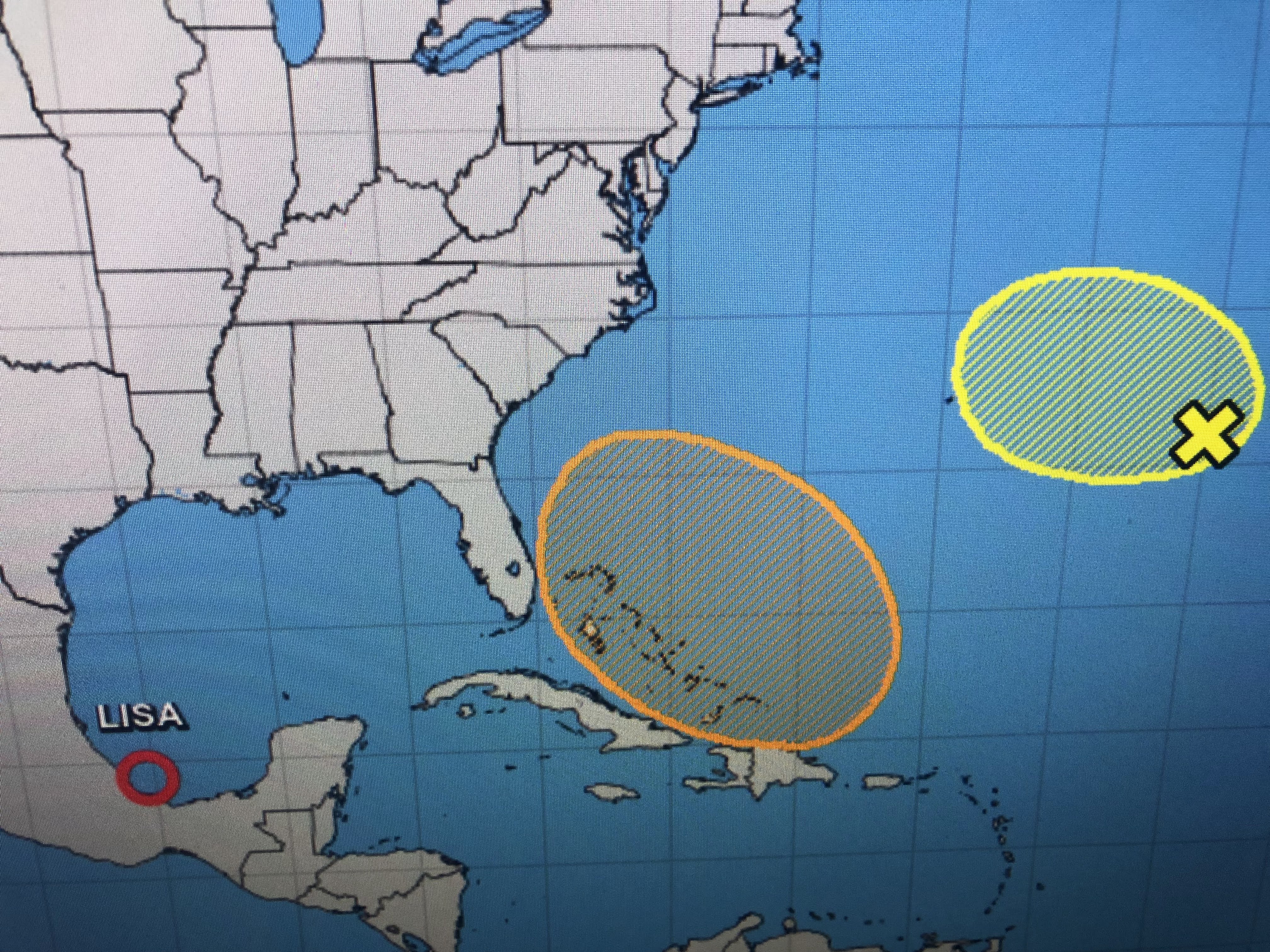


NHC still believes Nicole could form east of Florida (orange area) early next week. Note some of the leftover moisture from Lisa could couple with tomorrow's front enhancing our rain totals. I usually water my plants on Friday, but I held off until I see how much rain this front brings us on Saturday. Let's pay attention just in case some storms turn severe Saturday morning. Stay tuned!

No comments:
Post a Comment