


Some evacuations are being made, but impacts from Nicole will be way less than Ian that clobbered Ft. Myers. Still, a hurricane will cause issues for those mainly to the right of the center line track. Here's the latest from NHC.


If you have been following the center line forecast, you know it had been trending/shifting farther to the north. However, on their last track, there have been a slight shift back to the west.


The top graphic from last night had the center line going between Tampa & Lakeland. The middle from this morning shifted the track farther to the east moving right over Orlando while the latest shifted it back slightly to the west. What does all that mean? As long as you can stay west/left of the centerline, you will be on the weaker side/less impacts of the storm. Fortunately, the Ft. Myer's area is not in the cone of error.


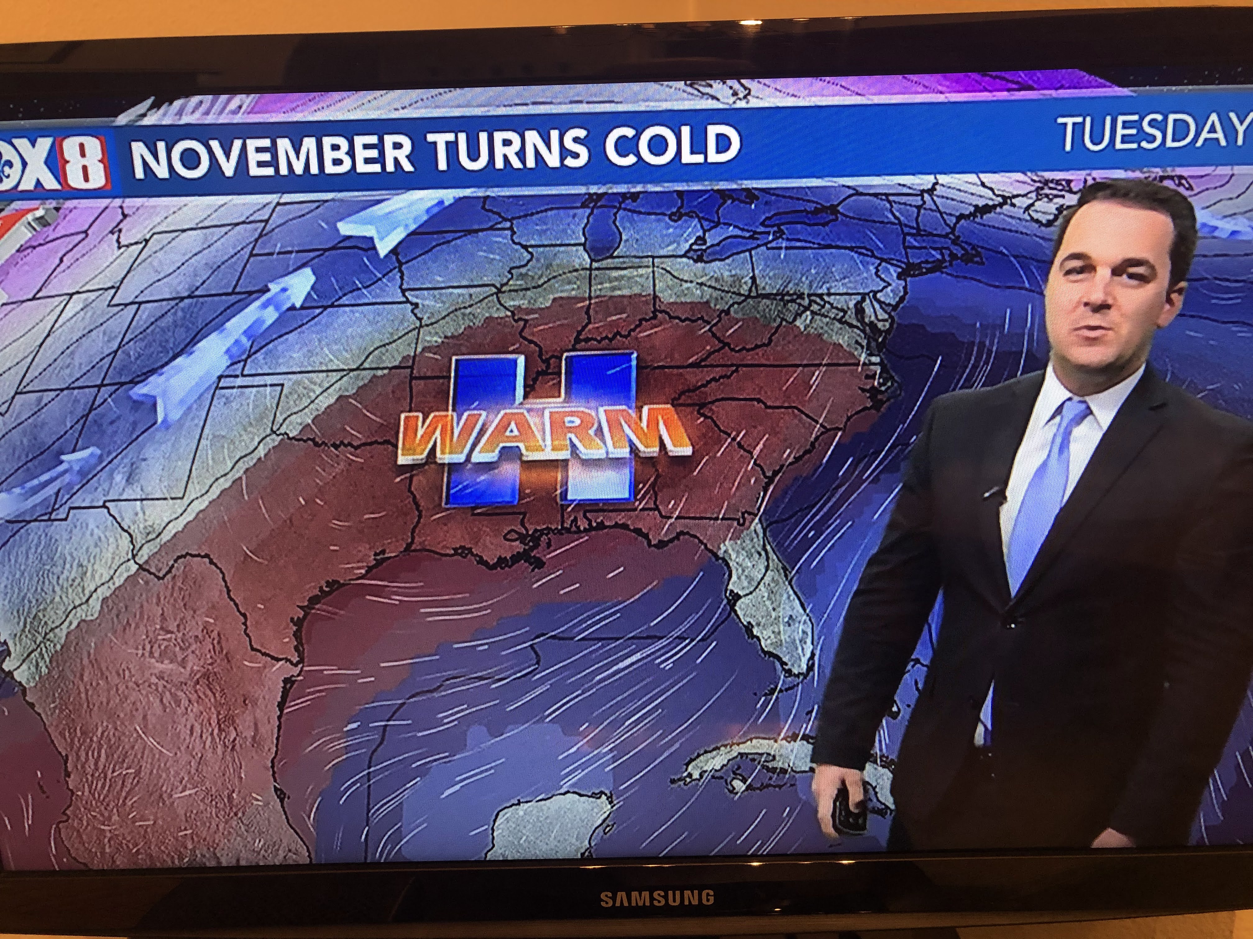
As Nicole nears the coast on Thursday, drier air on the northern side will move over us. We remain under a large upper ridge that is making most of the SE way too warm for November. But that will change as a deep trough over the West shifts to the East coast.


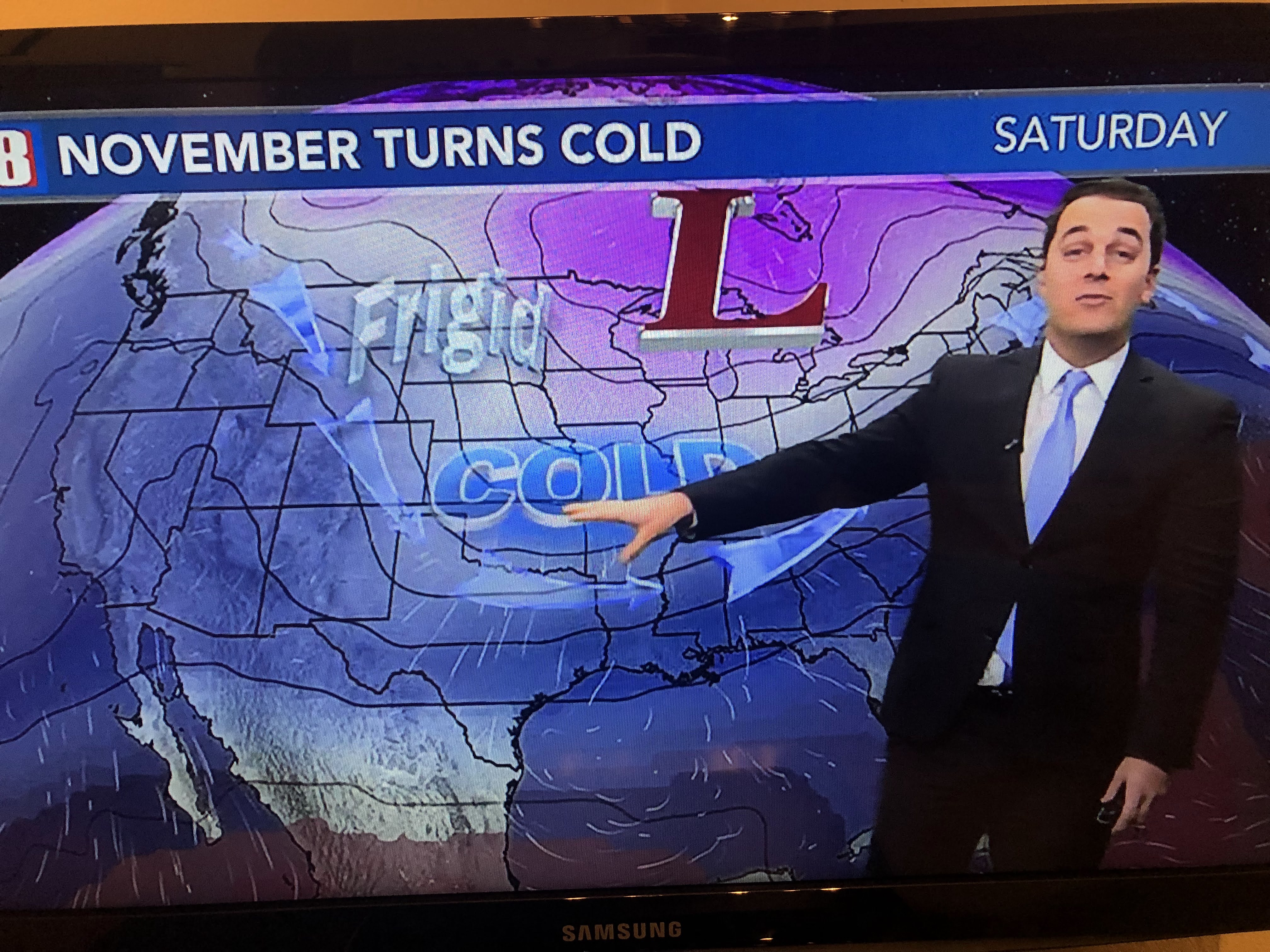


It will not be a brief shot of cold air as the next 6-10 days flip-flop to much colder across most of the nation.


The western storm is battering California with heavy rains & snows. Near zero weather is over Montana so, as the trough shifts to the east, the coldest air of the season is coming here. I expect below freezing temps across the North Shore on Monday morning.


In the short term, we're still very warm until late Friday.


Note the 30s & 40s dew points to our east. They will spread our way as Nicole gets closer to Florida. Finally...

Unlike the inaccurate (my opinion) 90 degree reading from yesterday, MSY stopped at 84, just short of the record. In less than a week, we may be dealing with record lows. Buckle up Gang. Stay tuned!

No comments:
Post a Comment