

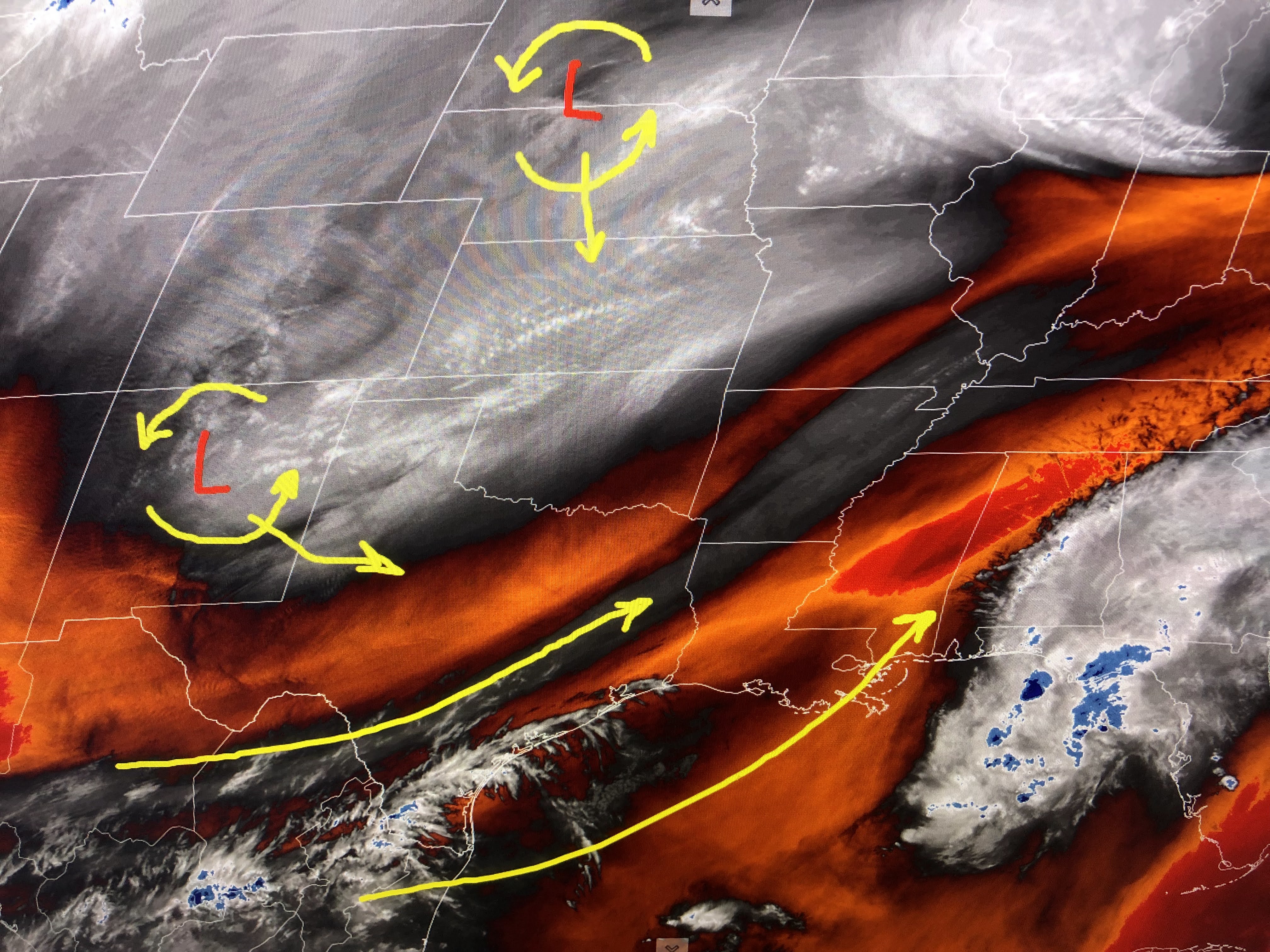
The bottom view is the water vapor(I rarely use it except to show small features not seen on regular sat. views) that has the SW upper flow over us waiting on our next two disturbances circled in yellow. You can follow those on the computer upper air forecast.
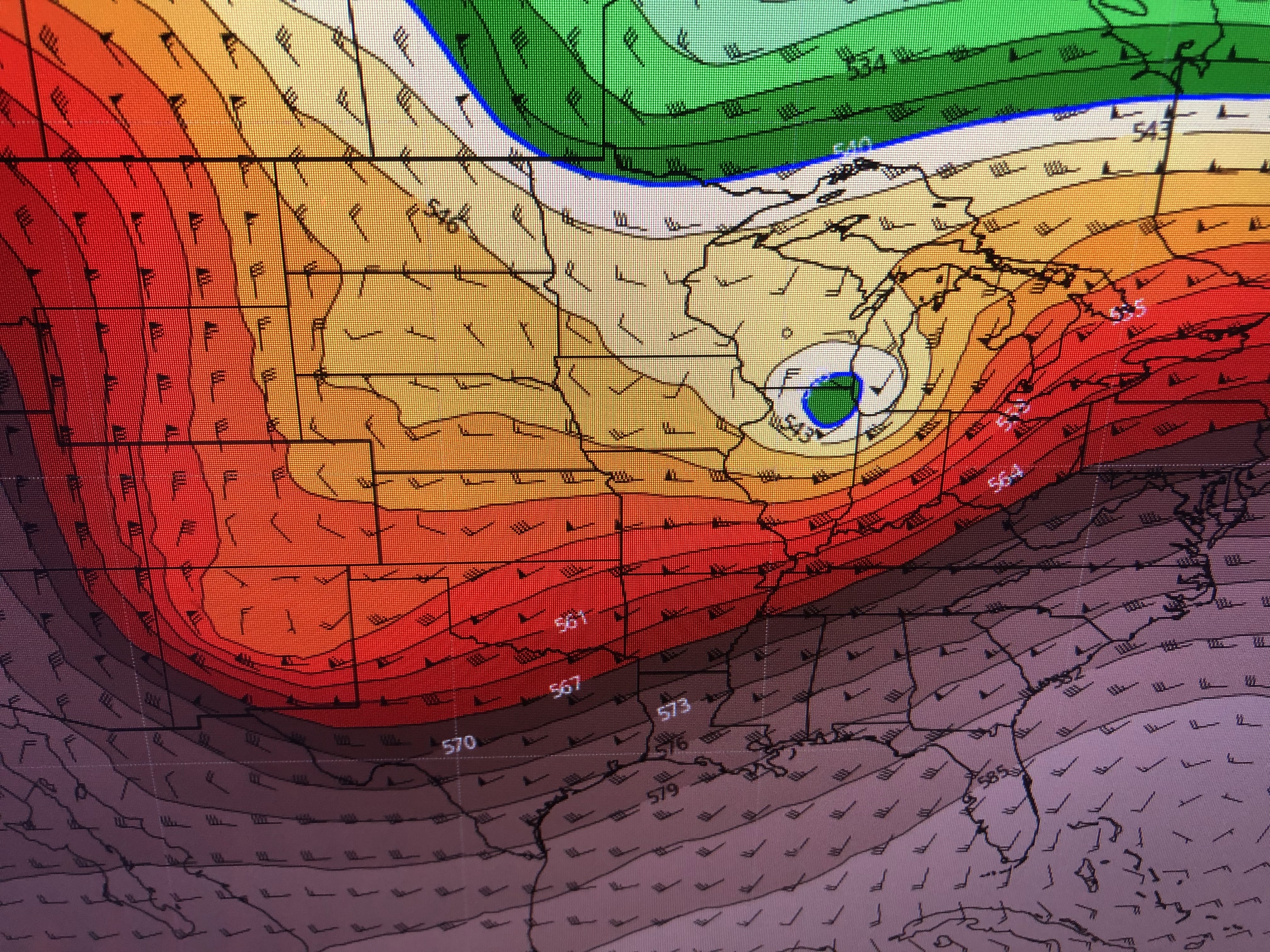


The top view has last night's system that caused the North Shore Tornado now north of Chicago. The middle is valid for Saturday morning bringing the upper pool of cold air right over us. The bottom is valid for Sunday morning as the low pulls off the east coast. Until that upper system gets well to our east, expect the clouds to linger.


The clear skies to our west today will rapidly fill in overnight as the upper trough sets up an over-running surface situation.

You can see how the cold air has come to a halt to our west waiting for the upper trough to dig over us on Saturday.


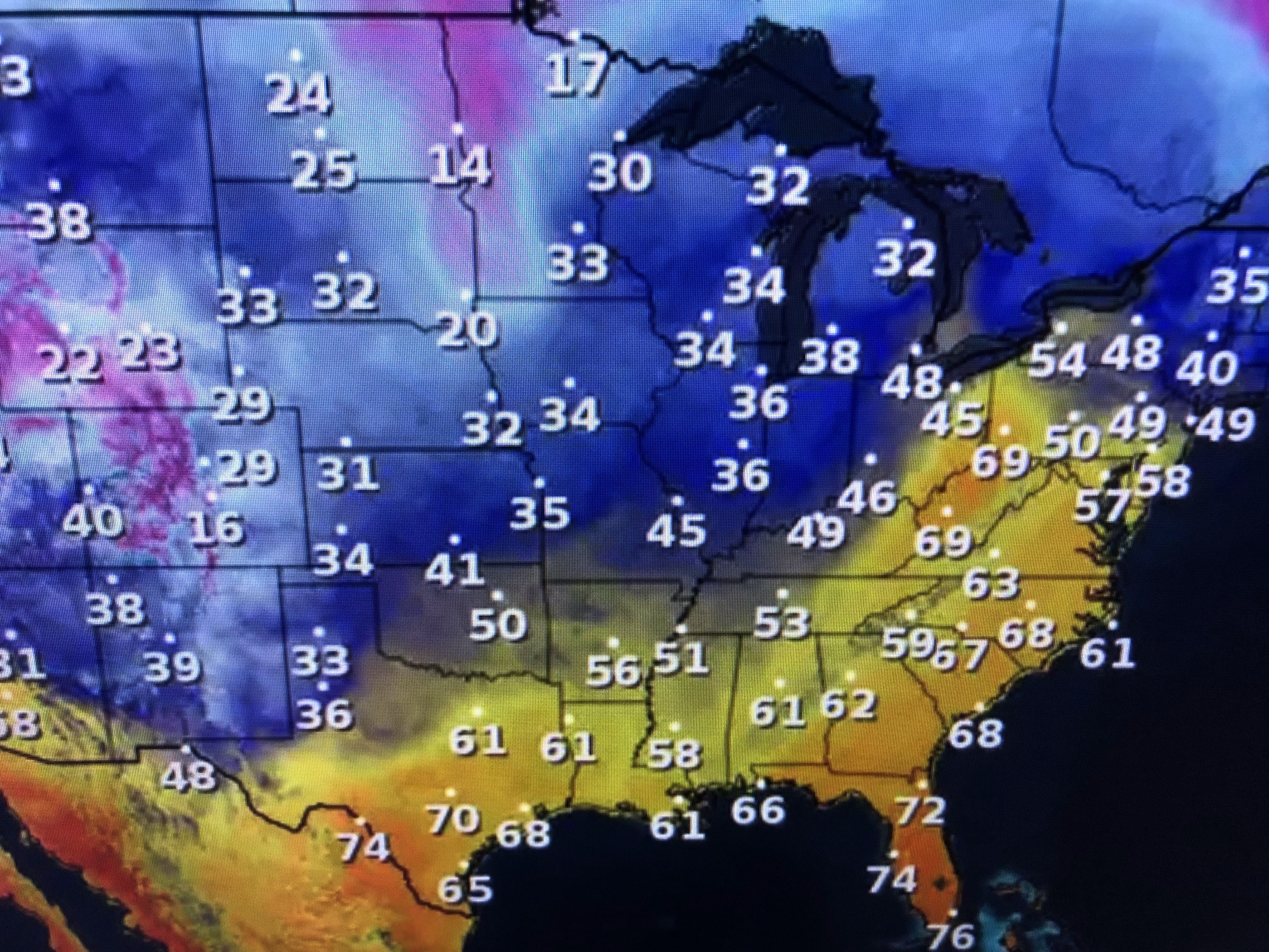
Obviously, this is not the kind of weather we want for weekend parades/festivities. Sunday with sunshine returning is the better day and we'll have to bundle up for Family Gras Friday night and on Saturday. No freeze threat is coming for the South Shore with a big warm up again next week. Stay tuned!

No comments:
Post a Comment