


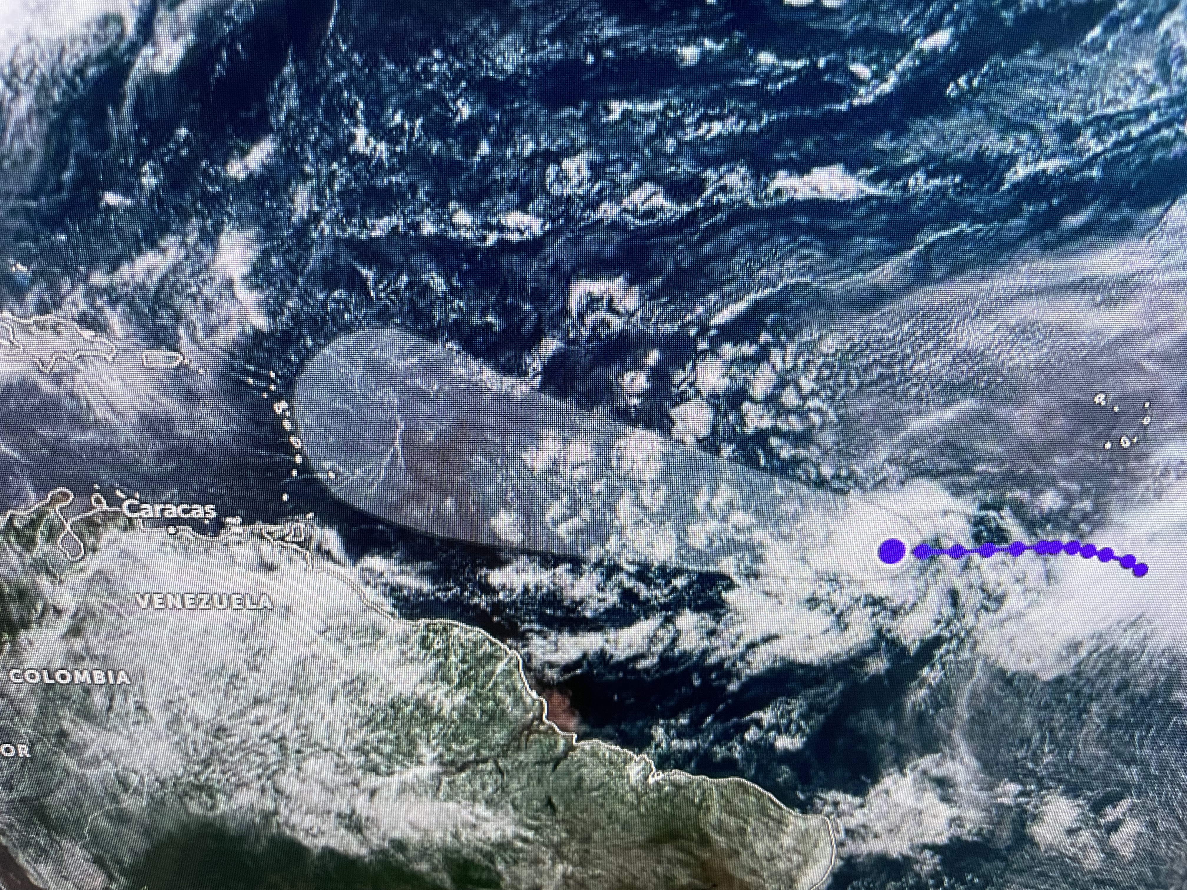
The European brings Invest 92L/Bret into the northern Caribbean while the GFS turns it northward long before becoming a threat to land.


The Gulf is nearly cloud free while there is a cluster of storms moving into central America. With an upper east coast trough expected to develop this week, we will be protected from any tropical disturbances.


The heat dome over Mexico & south Texas is expected to weaken as an upper low drops into Alabama. This should allow daily T-Storms to erupt bringing an end to our excessive heat. But not right away.


It's not that we have been breaking heat records this past week, rather, it's that the nights don't cool down into the 70s.


We will be less hot later this week, but it's not because cold fronts are coming. With more clouds & showers expected, they should bring us daily cooling relief.


A few storms have developed along the interaction of an outflow boundary from storms in Mississippi colliding with a sea breeze boundary.


So after days of heat with no rain, this week should bring relief for our lawns & gardens & our bodies.
Finally,


The lack of any rainfall here is shared by many up the lower Mississippi River basin. This has resulted in a very low river level for mid June. Later this Summer we may be hearing about the "salt water wedge" moving up from the Gulf. Always seems like something. Stay tuned!

No comments:
Post a Comment