


If Bret forms, he's still 6-7 days east of the Islands. Plenty of time to watch it. Remember, El Nino is strengthening and that will bring more & more wind shear for the Gulf & Caribbean.
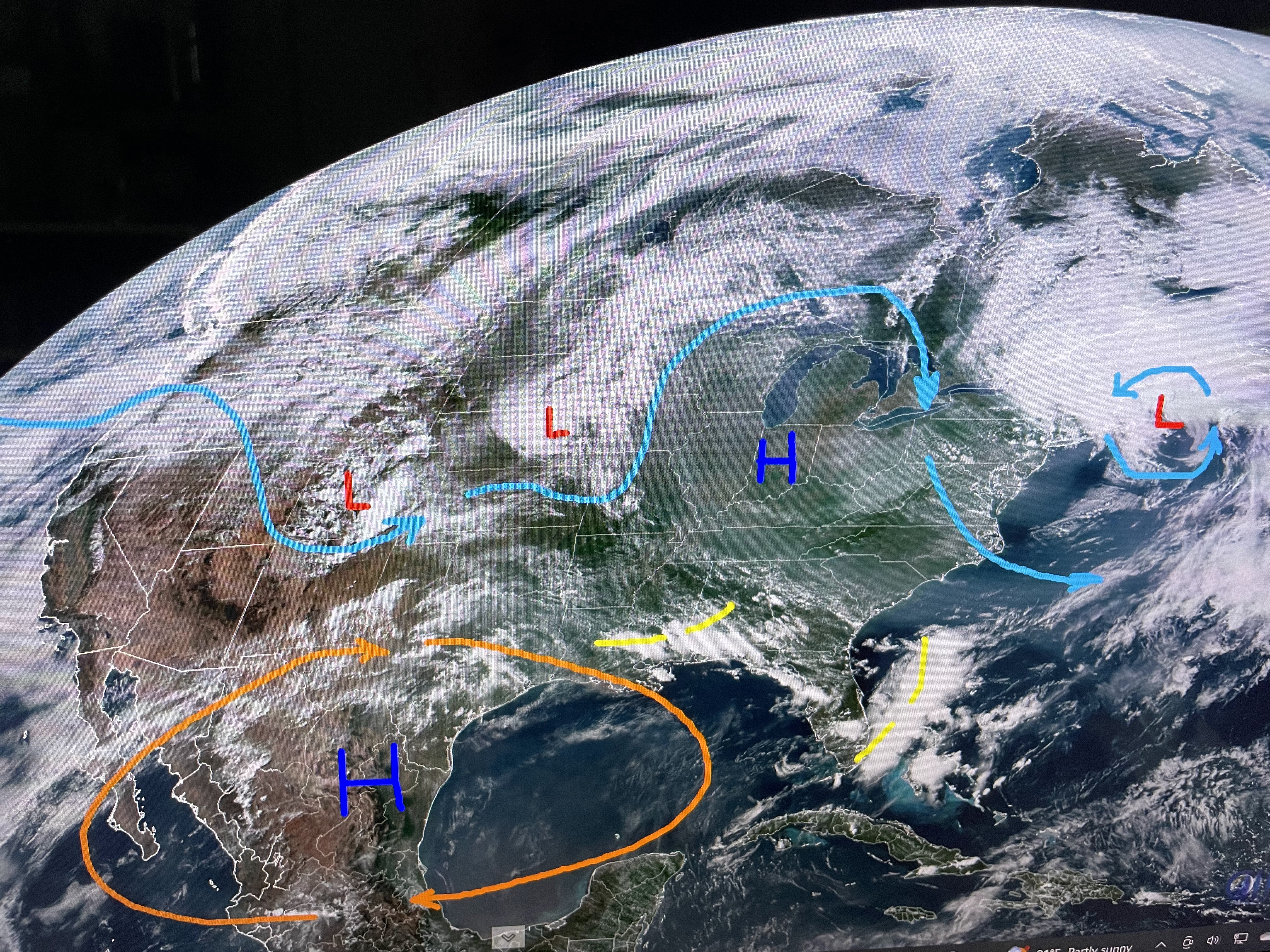


The upper heat dome hangs on, but Hannah Gard on FOX 8's morning news showed us a pattern flip is coming for next week. As on low lifts out to the NE, another one drops down the east coast and parks itself near us by late Thursday. That should mean more clouds & storms resulting in temps less hot.

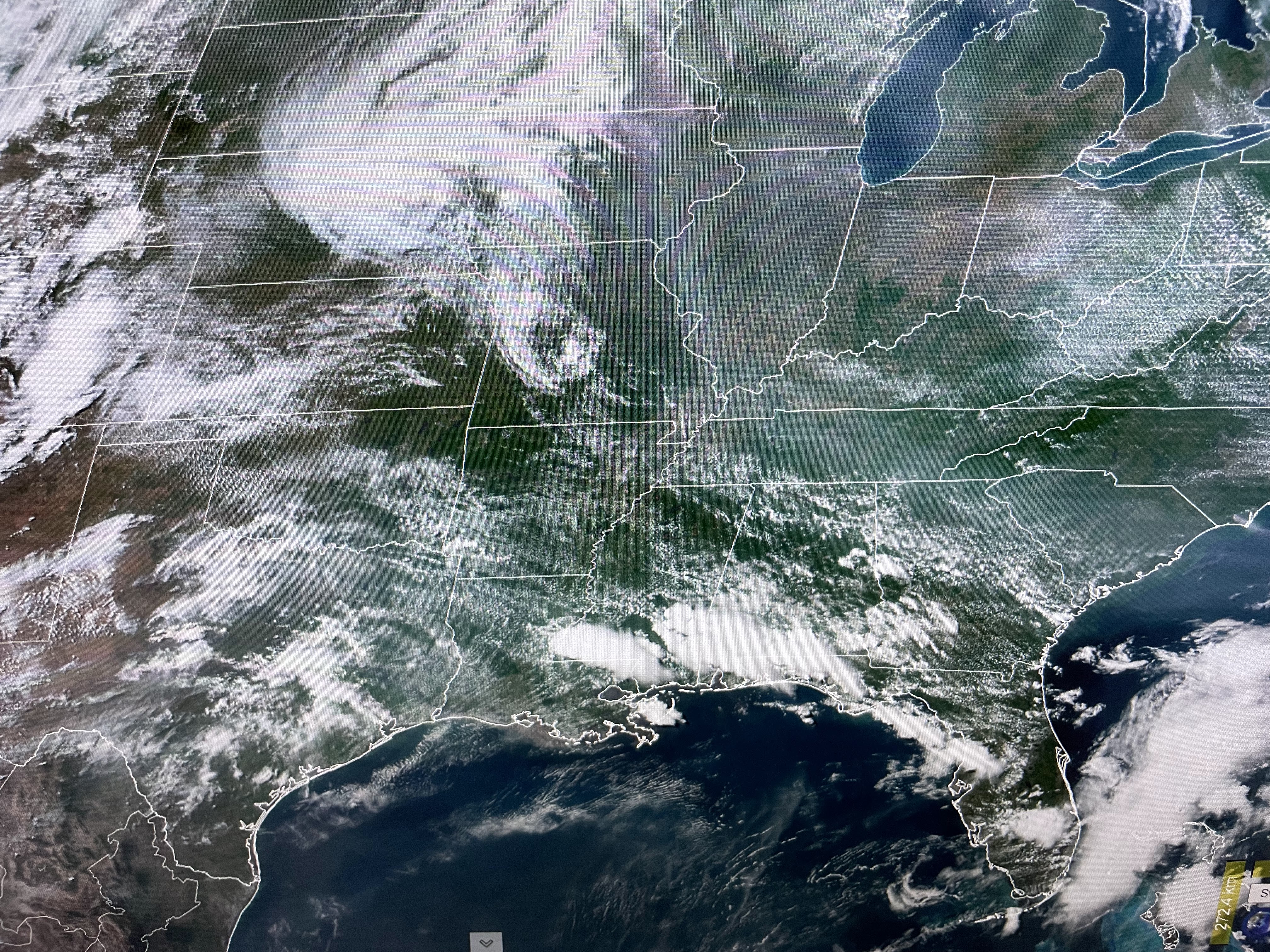
Without our daily cooling storms, much of the South is baking. The exception are those under the NW to SE storm track that has prompted the SPC to issued another Severe T-Storm Watch for the North Shore.


Even though it's very hot, temperatures are not extreme (100+). What makes it so uncomfortable is dew points near 80 making it feel much hotter.


At 3 pm we touched 96 tying the hottest we've been so far. But some relief is coming for next week with the upper low moving in. Pay attention on the North Shore for those big storms later this evening. Stay tuned!

No comments:
Post a Comment