


A stalled old frontal boundary separates the very juicy (dew points 70+) tropical air from cooler & drier air to the north. We keep hearing about the heat dome, but look at the temps back in Texas. That upper ridge will build towards us later this week, but the core (according to models) remains to our west into next week.


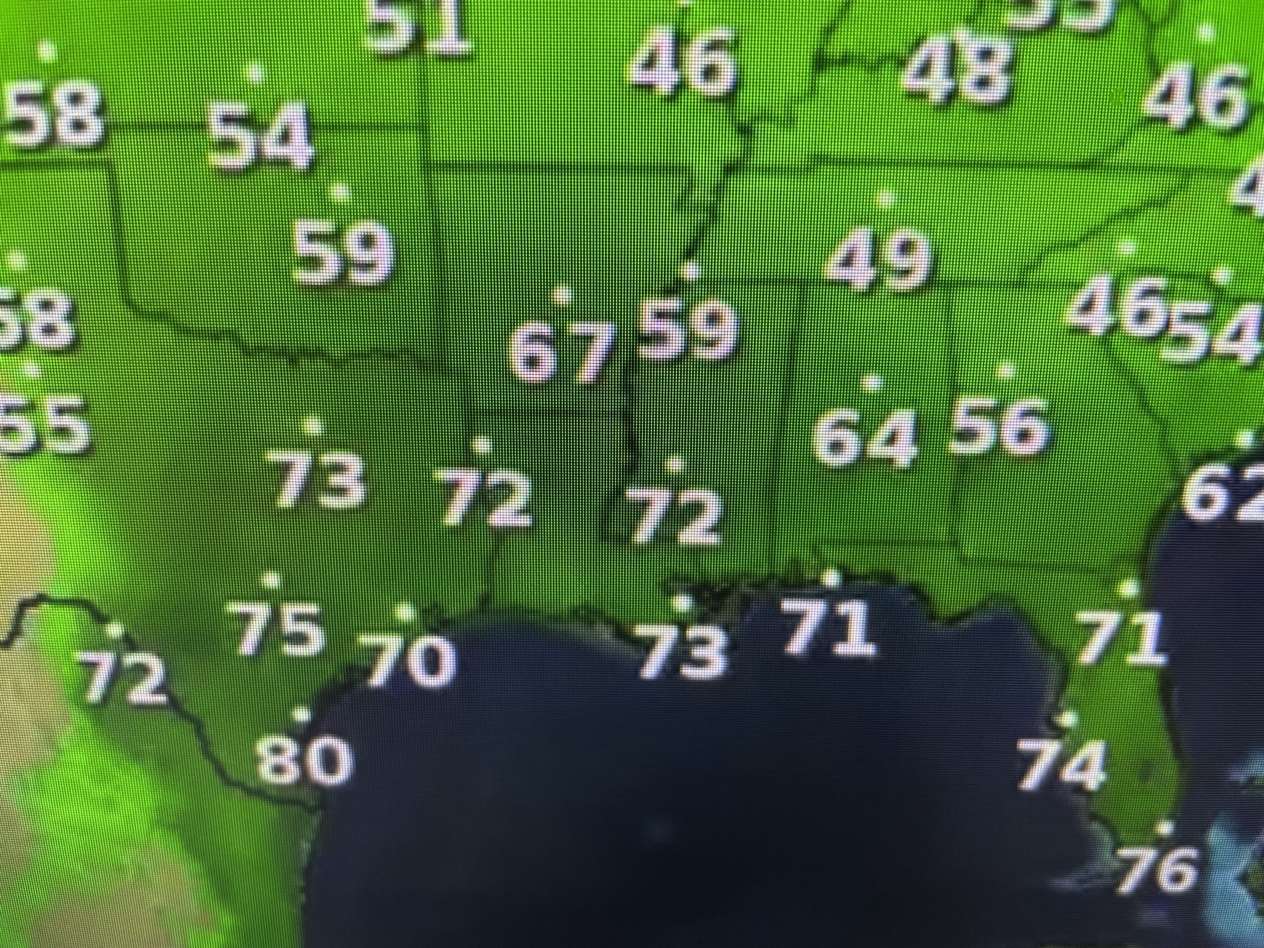
Look at how chilly it is over the Great Lakes. 50s & 60s with clouds & spotty showers, burr!


The rain potential graphic tells the story about who keeps getting dumped on. We did see one lone storm form over the city (my house got 22 drops!), but most of us stayed dry.


With the kind of heat expected over the next week, expect NWS to start issuing heat advisories. Unlike the folks up north, once we get hot we stay hot so our bodies kind of get acclimated to it. Still, if you plan or must be outside, you need to keep hydrated. Heat exhaustion/heat stroke can be deadly. Let's use common sense. Don't go for your daily run/walk at 3 PM! Finally,

The satellite view of the Caribbean & Gulf is as quiet as it gets. No model develops anything in the next 7-10 days. Typically, June is a quiet time in the Tropics. "Prime Time" really doesn't start until August. Stay tuned!

No comments:
Post a Comment