


Landfall was shortly after daybreak with the eye moving right over Perry,FL. a city of around 7,000. If there was one thing good about this storm is it avoided the built up coastal communities. Idalia brought the highest storm surge ever with Cedar Key topping their old record.
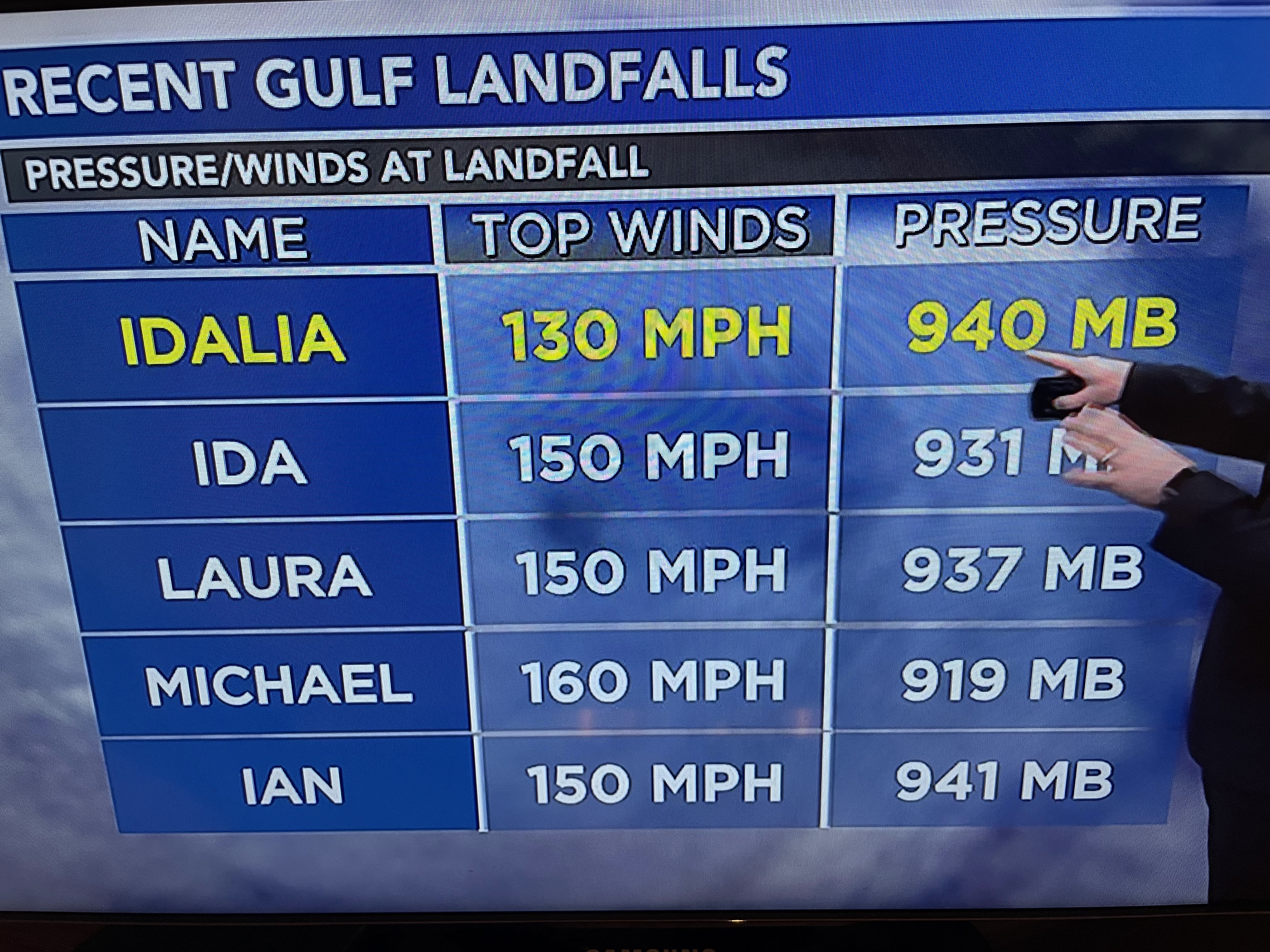

The final surge number reached 6.8 feet with higher totals north of Cedar Key closer to the eyewall. Remember Katrina had a surge of 28+ feet and Ida 12+ feet. Kind of tells me the Big Bend area has avoided the major Cat. 4 & 5 Hurricanes.


Idalia has been downgraded to a Tropical Storm on the latest advisory and is quickly moving just west of Savannah. There is a large heavy rain shield to her north & east and inland flooding will be a problem tonight into tomorrow. Already some are saying Idalia is a clear sign of climate change. The bottom graphic says otherwise. Florida had way more landfalling hurricanes back during the 1800s into the 1940s.


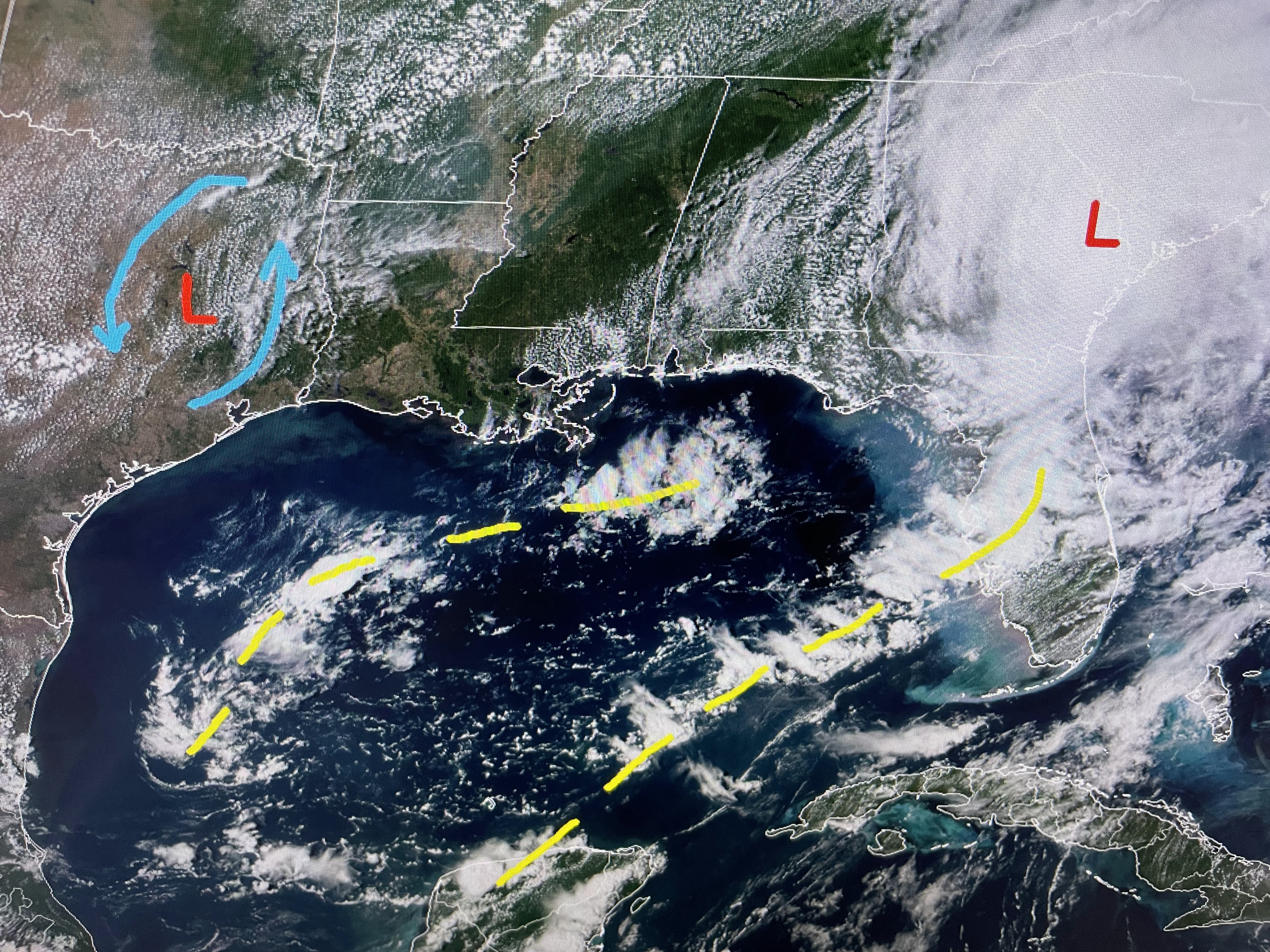
As the storm pulls away, the northerly flow behind her over us is bring in drier air (lower dew points). That should last through tomorrow before we start to see the Gulf moisture return.


Rainfall chances really ramp up over the weekend and that should keep us less hot. We need several days of widespread daily T-Storms to get our state out of drought conditions. Stay tuned!

No comments:
Post a Comment