


IF the predicted track proves to be reality, soon to be Idalia will have zero impacts on Louisiana & coastal Mississippi except to increase our northerly winds by Monday. The heaviest rainfall (4-8"+) will be north & east of the centerline track.


Wave heights show how weak TD 10 currently is compared to Hurricane Franklin NE of the Bahamas. Franklin is expected to brush Bermuda and turn away from the U.S. East coast.


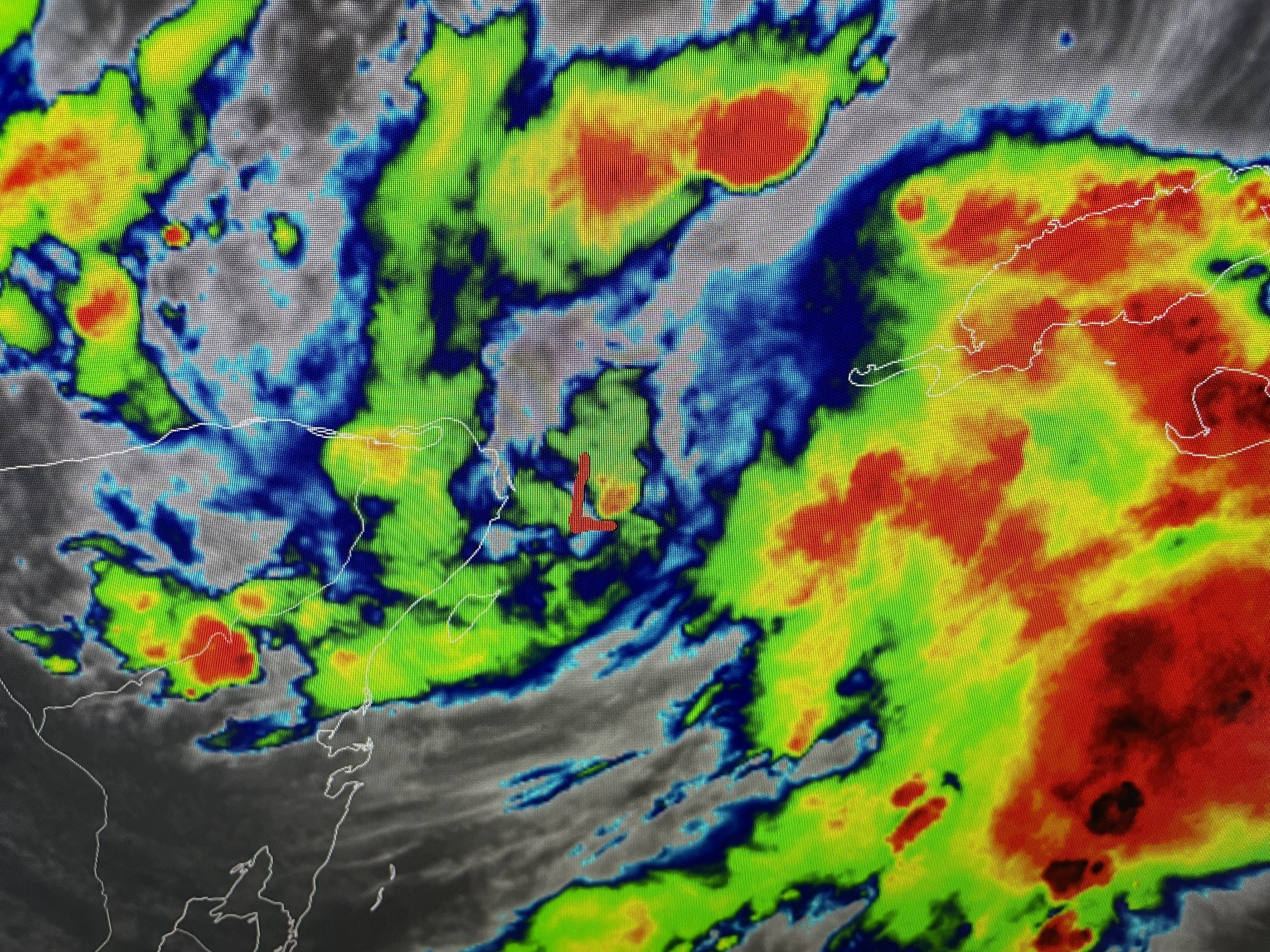
Even though we are about to reach 8 named storms, none of them have been major impact players to any land areas. Let's hope that trend continues. Back over the Gulf South, changes are coming.


Our summer long heat dome is finally shrinking and retreating back to the west. It's a little too late to help us this weekend. You can see the cooler (60s & 70s) air pour in from Canada. October is coming Gang!


The intense heating has finally broken through the upper cap and allowed some strong storms to develop, mainly on the North Shore. I believe when the numbers come in, we will set an all time high of 103 at MSY this afternoon. It's one of those records where you don't want to be Number One! If you are going to the Florida beaches next week, pay attention to Idalia's progress. The current track will mean no major issues. However, never believe the forecast is guaranteed. Changes can & do happen that are not expected.


Tomorrow should be the last chance to reach 100 this summer. We've already done it 16 times! But higher rain chances should result in less hot temps next week. It's about time, Stay tuned!

No comments:
Post a Comment