

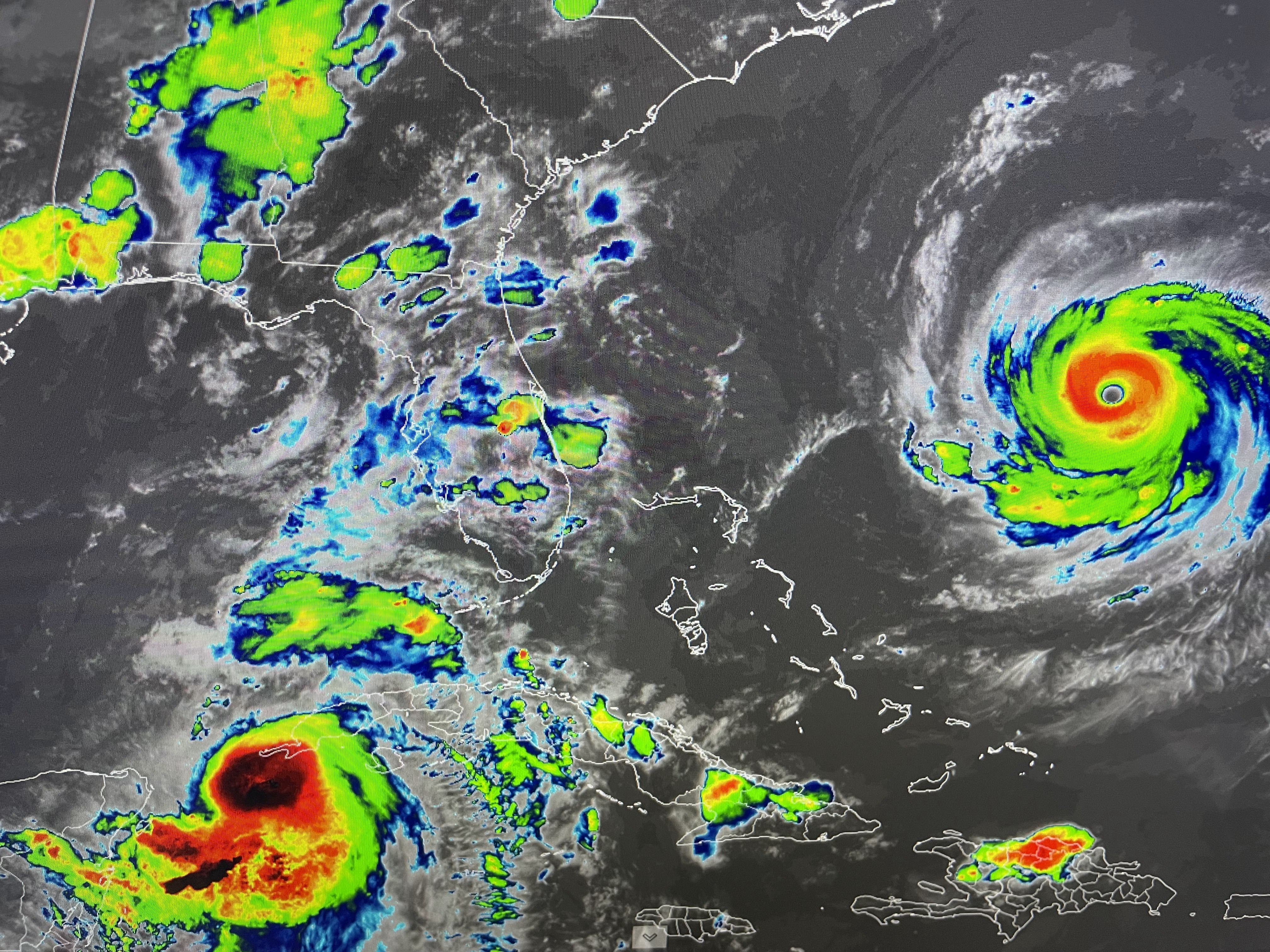

We are watching two tropical systems tonight. One is a mature Cat. 4 Hurricane Franklin well off the East coast that looks to stay away from any land areas. The other, Idalia is about to become our next hurricane, but it will affect land areas along the NE Gulf Coasts. Note the difference in wave heights between the 2. Look at how well defined Franklin is compared to Idalia.


The top view is Franklin with the bottom 2 being Idalia. It appears to me the center of Idalia is just over the western tip of Cuba and the interaction with that land mass may be slowing intensification? once away from Cuba, it will move over the warm Gulf current (highest heat content) & that should mean rapid intensification.


The official NHC centerline track is almost identical to this morning's and I wouldn't expect any major shifting (if an) until the storm is away from Cuba. My fear is this storm follows the past history of Charley & Ian and wobbles 20-30+ miles to the right (east) placing more danger to the population centers of Clearwater/Tampa/St. Pete. IF that proves to be the case tomorrow morning, I'd be prepared to evacuate away from the coast inland away from the surge areas. There are no issues tonight but things will go downhill quickly tomorrow PM & Night.

Pretty certain 6-10" of rain will be around and to the right (east) of the eyewall centerline. I don't like seeing the wind field graphics that TV is using as it's too broad brushed and has the same winds on both sides of the storm. We all have learned from experience that it's the right forward front quadrant that gets the most destructive winds. Tampa Bay (Tom & Susan) don't let your guard down even though you are not in the cone right now. IF you're lucky, this storm might be like my first Hurricane ( Agnes) back in 1972. She stayed just far enough offshore to not impact the main population centers and headed up to Cedar Key/Big Bend.


What was that Locally? Lightning, thunder, heavy rains, oh my! I had over an inch.

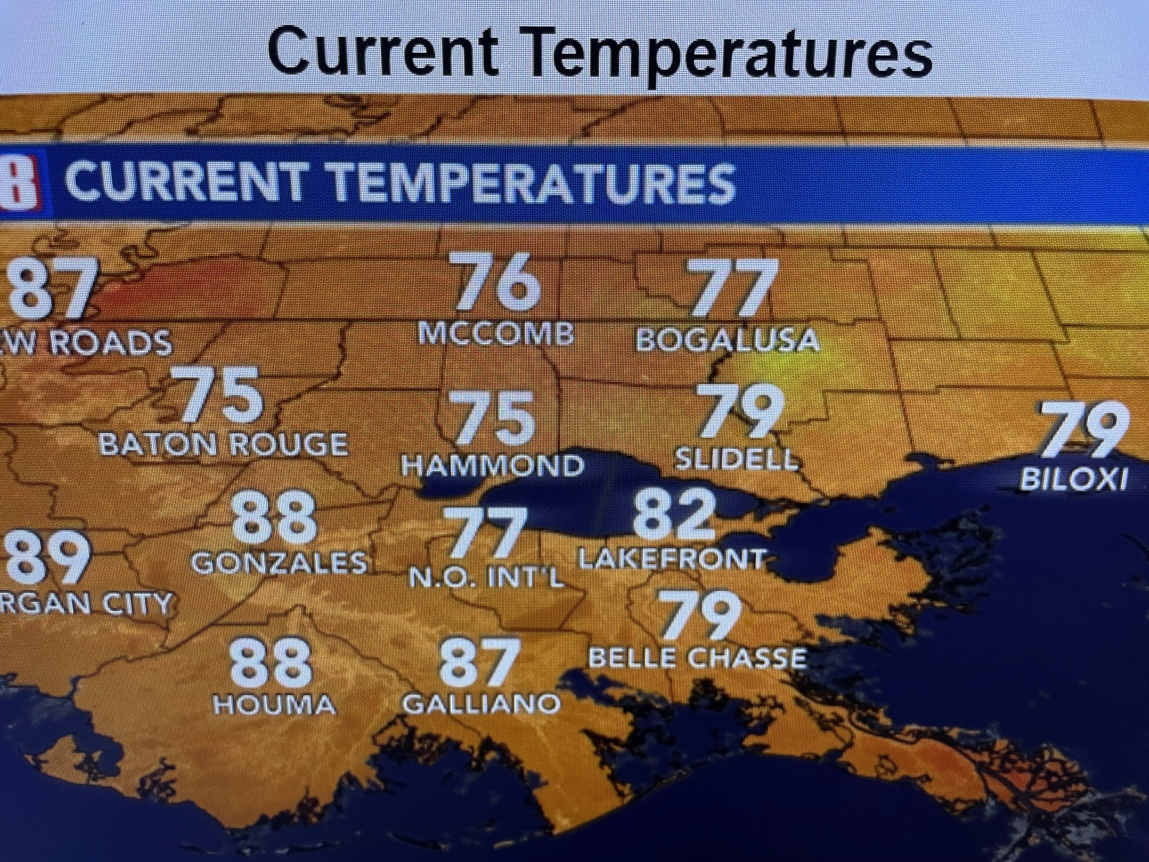
Plus, it made us much cooler!


We're not done with the 90s, but I think the 100+ days are over. Stay tuned! I'll try to post before noon tomorrow.

No comments:
Post a Comment