


As of 4 PM CDT, NHC has upgraded Invest 99 L to Tropical Depression # 6. They indicate TD 6 is in a hostile environment and their forecast is to keep it a depression. However, any small increase in wind speed would give us TS Emily.


The IR color view does show a small cluster of storms, but the system is heading into upper wind shear.


As you can see, the computer models keep all those storms way out there turning to the north and never affecting the U.S. So let's focus on the Gulf.


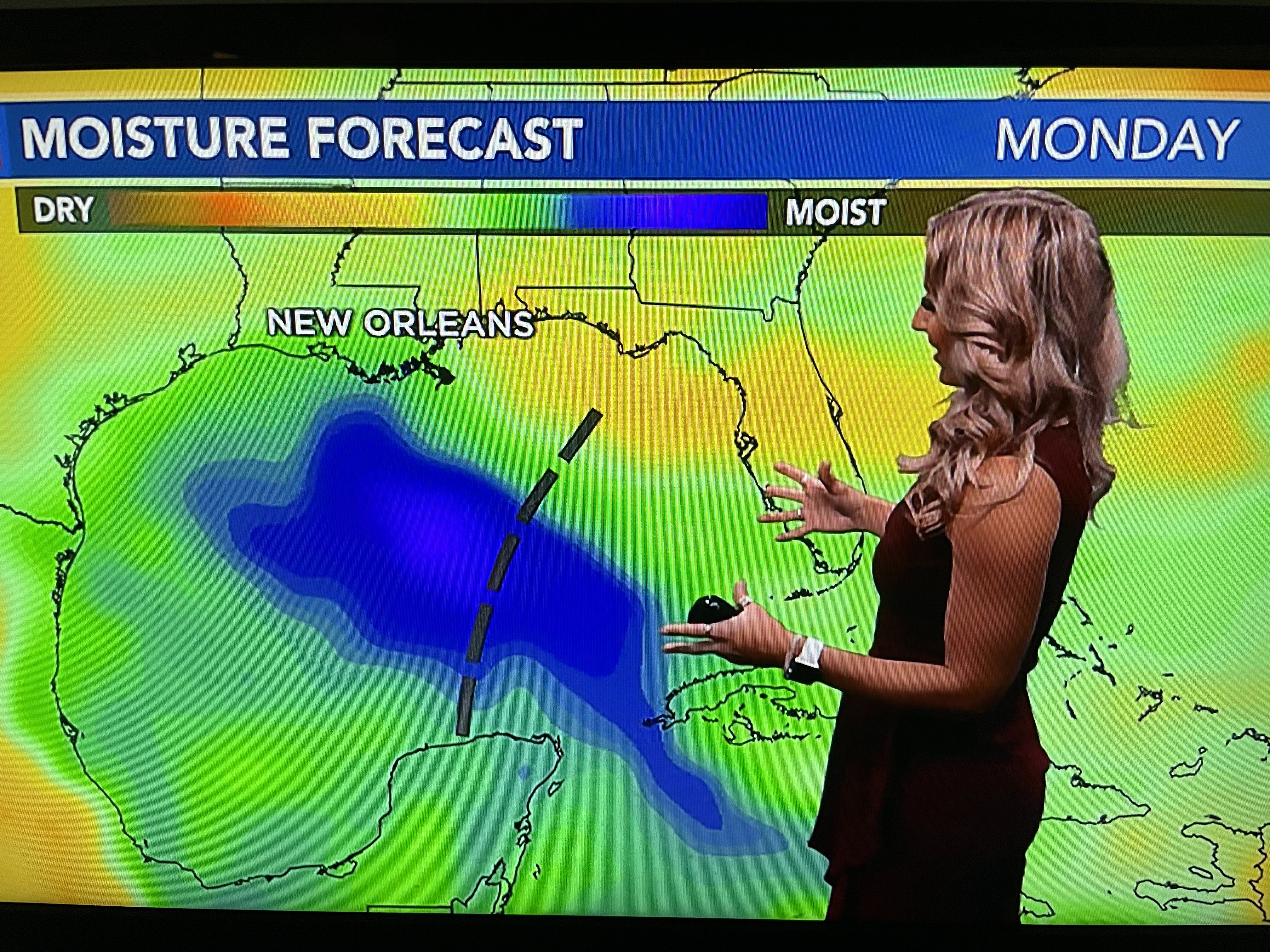
Even if this wave developed next week, it can't move into our upper Heat Dome. Hannah Gard showed us why with two different graphics this morning.


Our Summer from Hell upper heat dome will not leave us anytime soon. That blocks/protects us from any tropical threat. The moisture tracker clearly shows that.


When in drought, leave it out. We could really need the rain, but I'm not convinced we'll get any.

I'm also seeing a weak mid-upper low south of Brownsville. Gotta believe any of these systems will get better organized during the next week and we'll be following 2,3 or 4 named storms at once. but remember, we're protected by the Heat Dome so don't sweat any of them (pun intended!) Now out to the Pacific & Da Saints.


Hurricane Hilary is rapidly weakening as she moves over the colder California current. However, even though her wind field will be decreasing, the potential Flash Flooding rain threat won't.

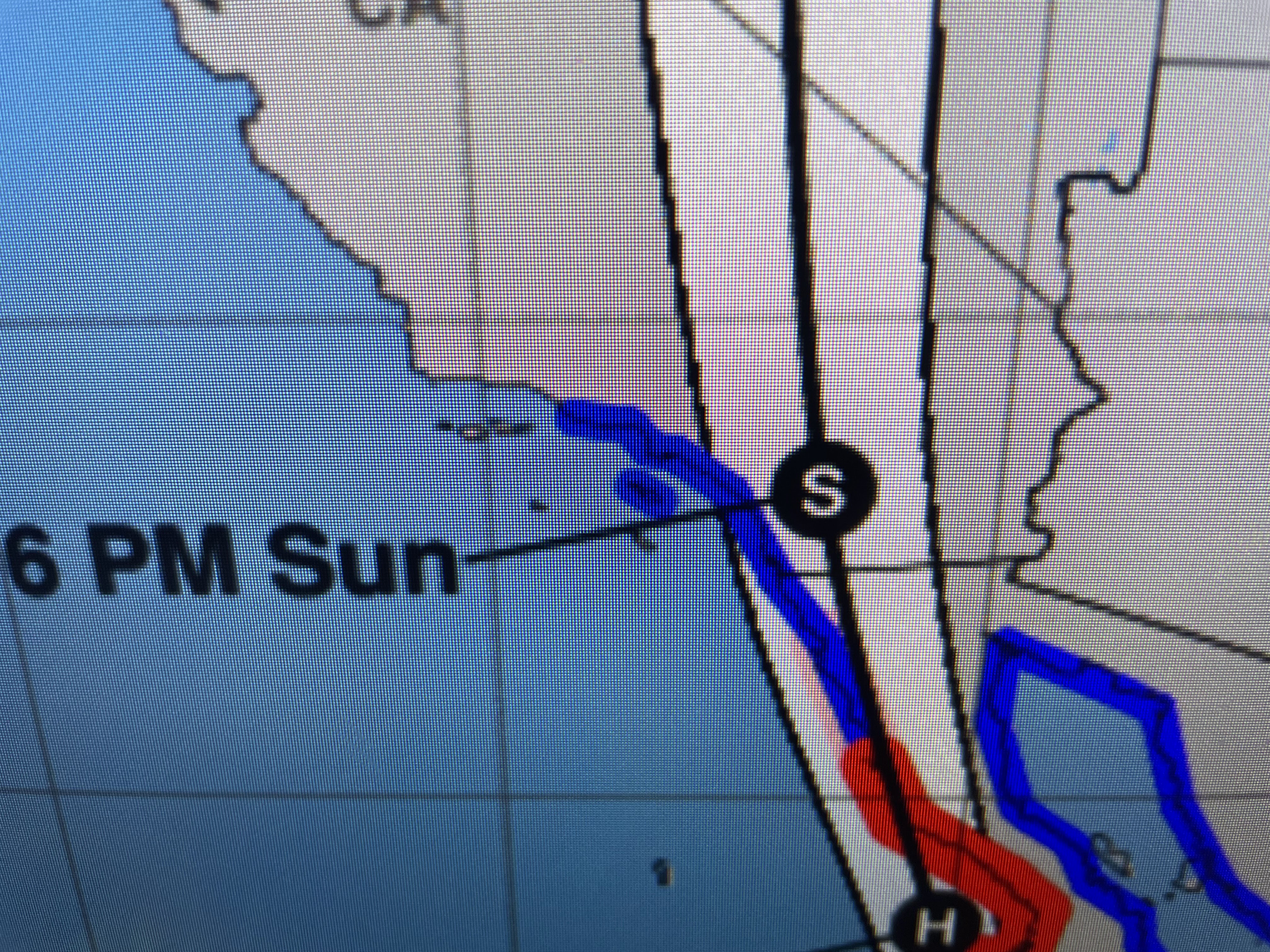

Those of you who have followed me over the years know we focus on the center line track at landfall. NHC has been very consistent with keeping the track to the east of Los Angeles keeping them on the weaker side. The real issues will be to the mountains east of Los Angeles & San Diego and up towards Las Vegas. I'm sure local emergency managers have alerted the public to what's coming.


Otherwise, I've got nothing but more brutal, record heat coming.


I wish I could give you some hope, but for the short term it looks bleak. Keep watering, use common sense being outside and try to stay safe. But wait lee Zurik, there's more!

It has to get cold up north first and Canada has cooled down. Most of the country is in the 50s & 60s with even some 40s showing up. We do have hope folks. Look to our neighbors to the north. Stay tuned!

No comments:
Post a Comment