


Currently, there is nothing there yet as an upper low over the Bay of Campeche drifts to the west. The Euro model continues to bring a system out of the western Caribbean into the eastern Gulf early next week.

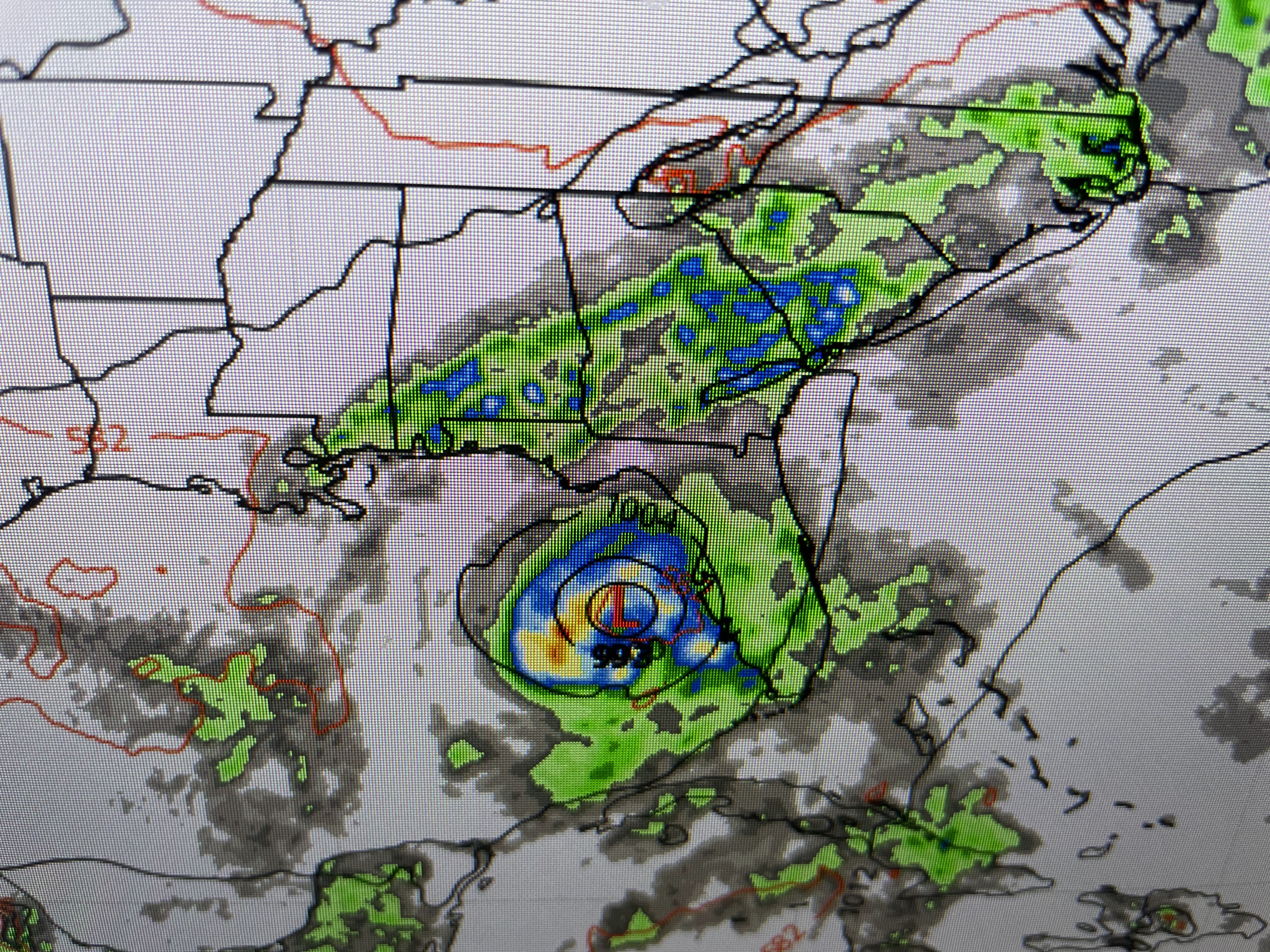

The top graphic is valid late Monday with the middle view valid late Tuesday. It appears a weak Tropical Storm could be just west of Tampa Bay. The bottom view is for Wednesday evening with the system crossing the west coast north of Cedar Key and heading over Jacksonville. Could this become reality?


Based on the upper heat dome pulling back over the western states, you can see how the upper trough returns over the eastern states. That NW upper flow should bring down a weak cold front before the Gulf system nears us, turning it eastward into Florida as Nicondra showed us at 4 PM.

If you're going to the beaches this weekend into next week, there should be no major issues. However, pay attention to the weather in case whatever forms heads farther to the west than currently predicted. The rest of the Tropics are dominated by Tropical Storm Franklin.


Locally, it's another day of record heat that will continue into next week.


We're not alone as that heat dome extends up to Omaha over to Chicago.


Note the 75-80 degree dew points up north, higher than us!


We all know part of our heat problems are due to the lack of rain. All of the South Shore is now in extreme (red) drought conditions as we're nearly 2 FEET below our normal/average value. Let's pray that Monday's front bring us some real soakers! Stay tuned!

No comments:
Post a Comment