


The top satellite view has Tropical Storm Franklin drifting northward off the East Coast with an upper low heading west south of Brownsville. That leaves the region over the western Caribbean without wind shear and ripe for development.
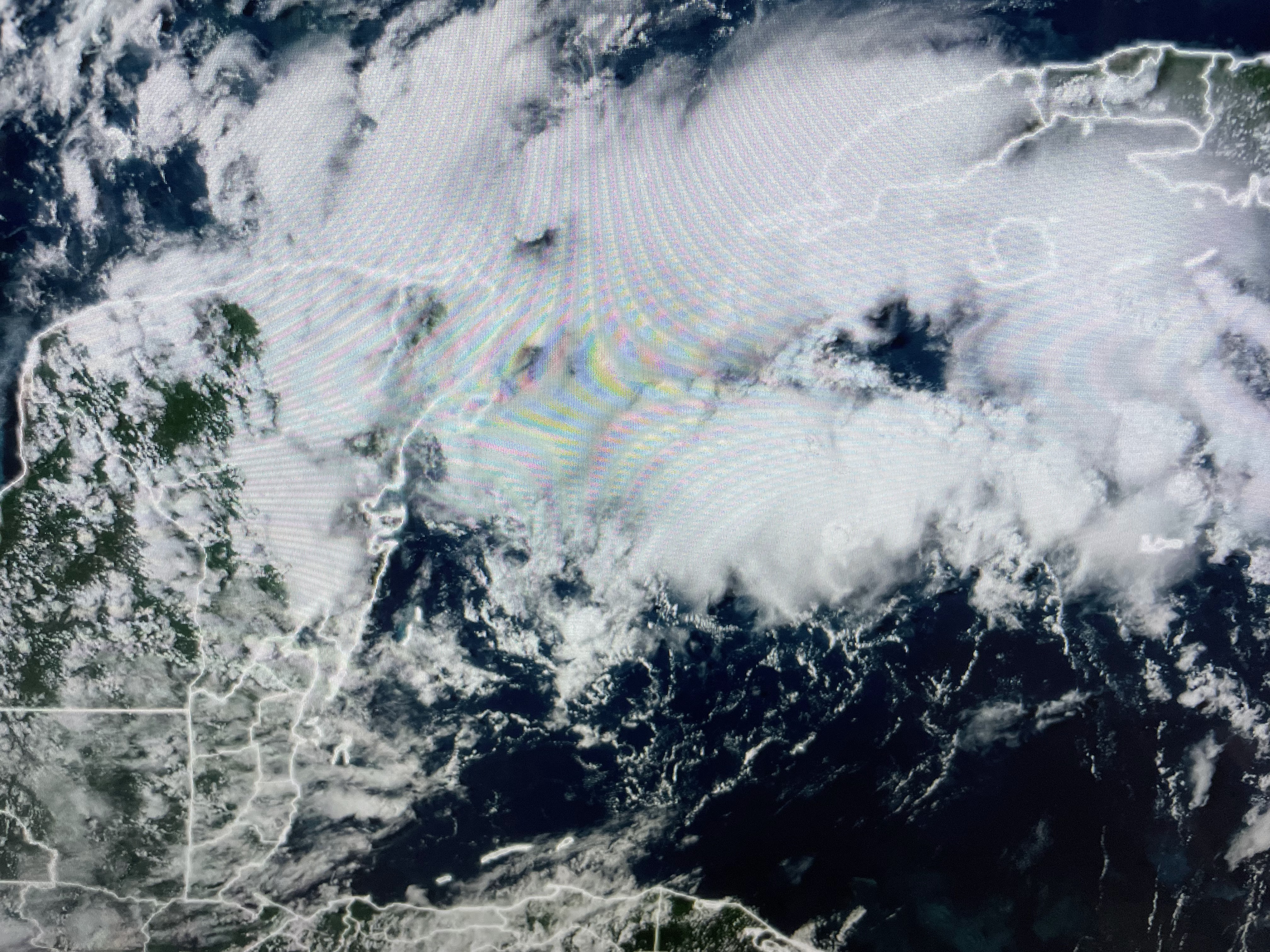


As you can see, right now we just have lots of unorganized T-Storms. The Spaghetti model runs mostly track the system into the eastern Gulf and up into the Big Bend area of Florida. However, look at the difference between the Euro & GFS. The valid time frames are Tuesday PM & Wednesday AM.


Remember, the GFS was clueless yesterday, but today they're finding something there. Note they take the system much farther to the west (Panama City) than the other models. Since we don't have a center to track yet, let's not put too much faith in that outcome. NHC has a recon flight schedule for early Sunday. Based on what I'm seeing, they may move that up to Saturday PM. Regardless, the impacts for us will be an increased northerly flow on the backside (left/weaker side) and lower humidity for next week.


That upper heat dome is slowly shifting to the west and we should finally start to see higher rain chances for next week.


A couple of storms have bubbled up this afternoon bringing some cooling relief. For most, it's still another day of record heat.


FOX 8 is calling for 3 more days of 100+ heat, but I'm thinking we'll start to see more PM storms show up by Sunday & Monday keeping us short of that dreadful triple digit. With daily storm chances returning next week, that should mean less hot temps. Finally,


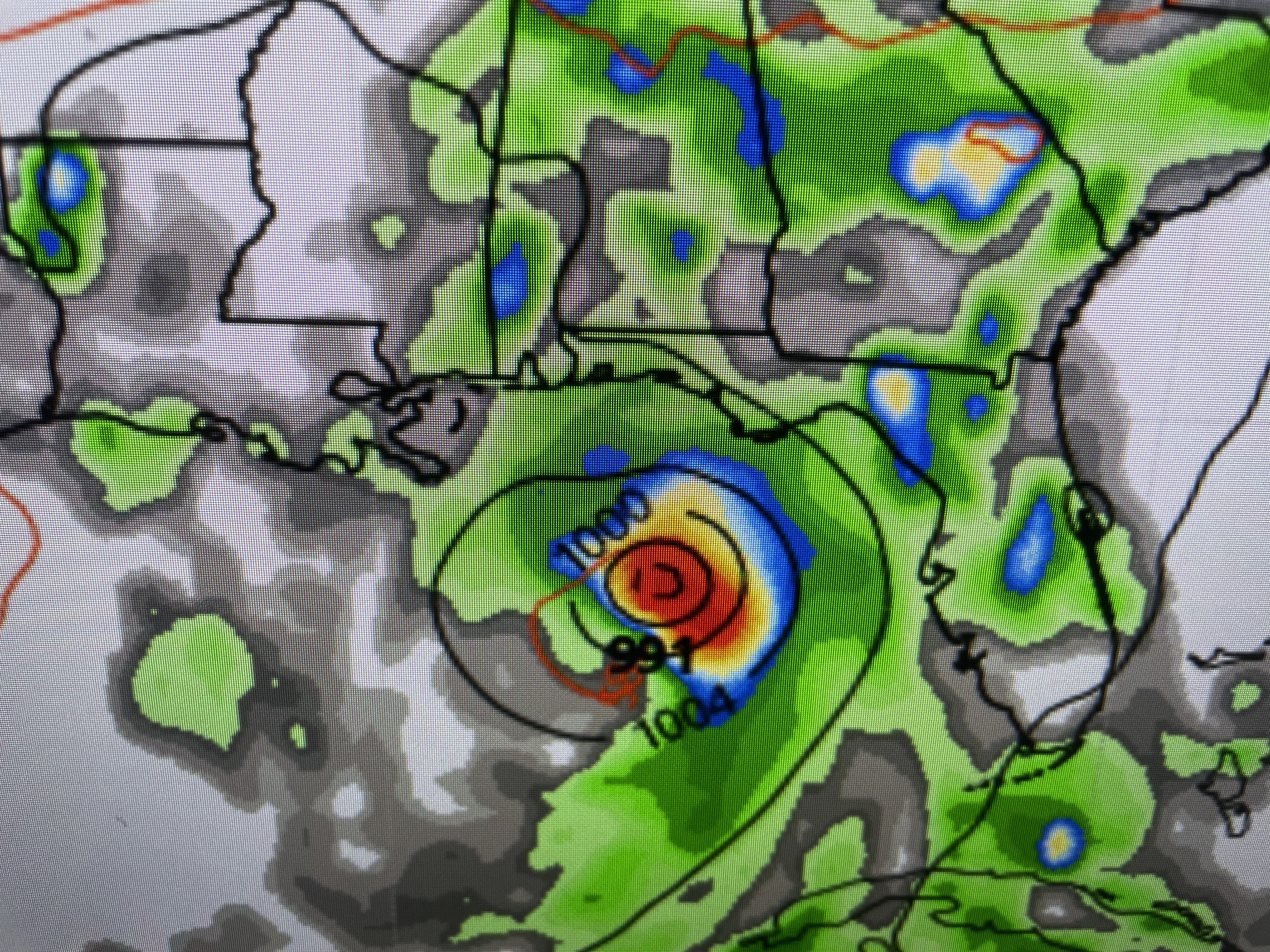
Franklin continues to struggle out in the Atlantic with his center exposed (yellow arrow). NHC still makes him a hurricane this weekend as he heads well off the East Coast. Anybody heading to Florida this weekend into early next week needs to pat attention to what develops over the eastern Gulf. We could easily have a hurricane since water temperatures are so warm. Stay tuned!

No comments:
Post a Comment