


The system coming off of Africa isn't there yet, but models bring it on a path at much lower latitudes that might impact the Islands next week and threaten the U.S. SE coast during the first week of October. Fortunately, no model brings anything into the Gulf. Models do form a low/named storm off the Carolina Coast by late Friday.


This system is likely to be called "sub-tropical" initially, but it's likely to get a warm core (tropical) as it moves over the Gulf stream. Since it's east of Florida, it's not our storm.


We're waiting for our first real cold front, but that won't come until the trough over the western states reform over the eastern states. Notice how western Canada has cooled down and some of that air is flowing into the Pacific Northwest.


No cool air for us anytime soon, and worse yet, the humidity is back with dew points back to 70+.


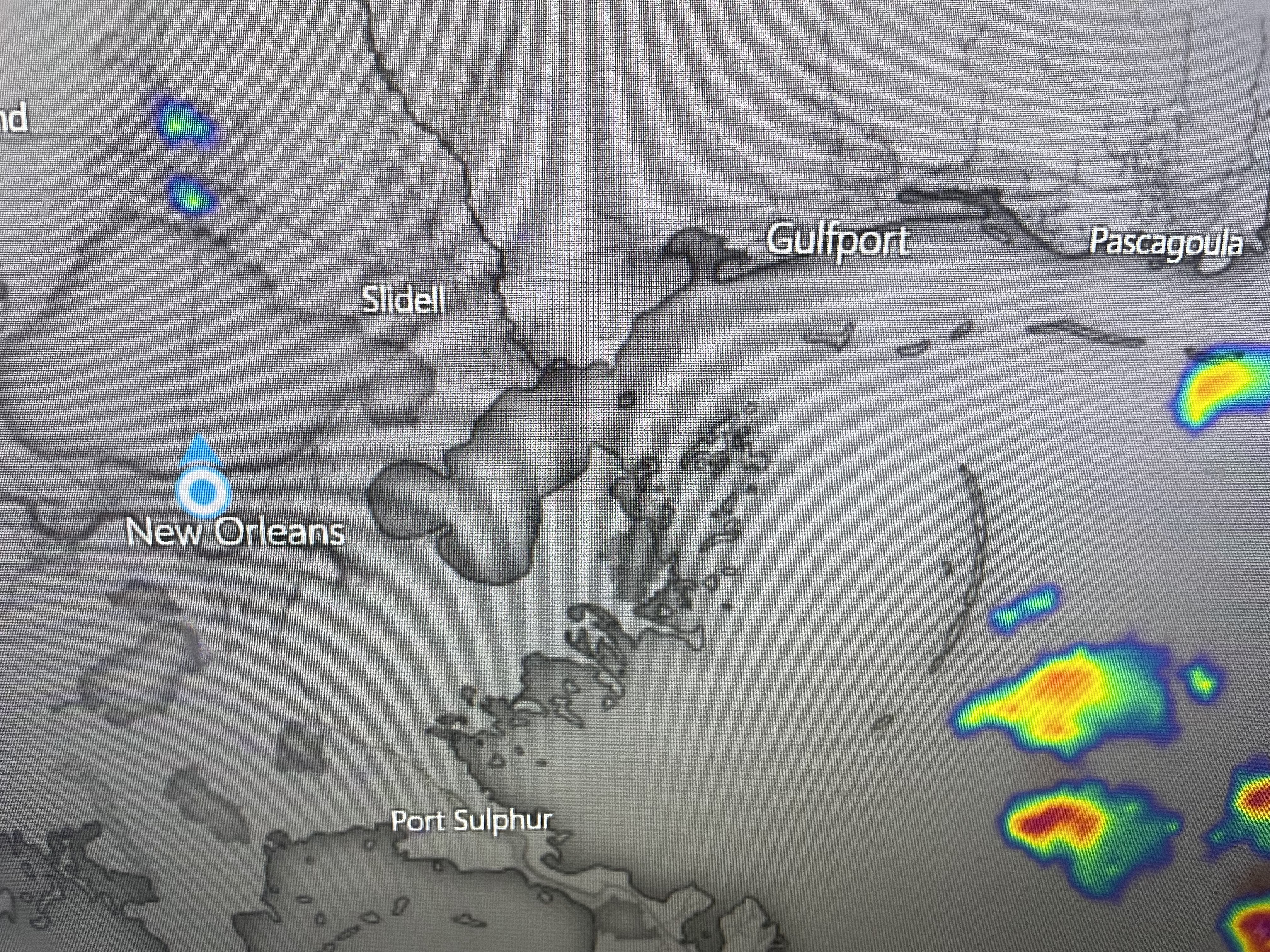
The system trying to form over Florida is triggering widespread showers/T-Storms just to our east. As the system evolves/develops, we'll see drier air flow back over us keeping our rain chances near zero for another week.


So we have no cold air coming. We're through 3 weeks of September with no tropical threats. Count our blessings. Stay tuned!

No comments:
Post a Comment