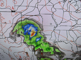
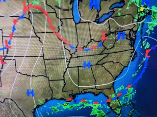
The first satellite view shows the weak upper pattern currently over the lower 48 states. The 2nd view has the 2 vigorous troughs approaching the West coast that will traverse the country and sharpen into an East Coast trough late NEXT week. That's IF the models are correct that far out! Better news for getting rain in the Mississippi River Valley. NHC paints an area off the West Coast that is expected to become a hurricane.
Again, IF the model is correct, that system comes into the Baja late Sunday of NEXT week with the energy tapping Gulf moisture by Tuesday moving over us for Wednesday 10 days from now. Can we believe that to become reality? Right now, we must hope! The big rains today have been over the Northeast.
An upper low has tapped tropical along an old frontal boundary. A slow moving band of heavy rainfall has created a "training effect" giving many locations 6-10_ of rain. NYC has reported numerous flood issues including at their airports. We need those rain totals over the Mississippi River to our north.
That's not happening anytime soon and that's why we have to hope for that the tropical system coming out the Pacific is real.
We do have rain off our coast, but it's not coming northward.
So October will be very warm and dry with some hope for next Friday with that cold front.


No comments:
Post a Comment