

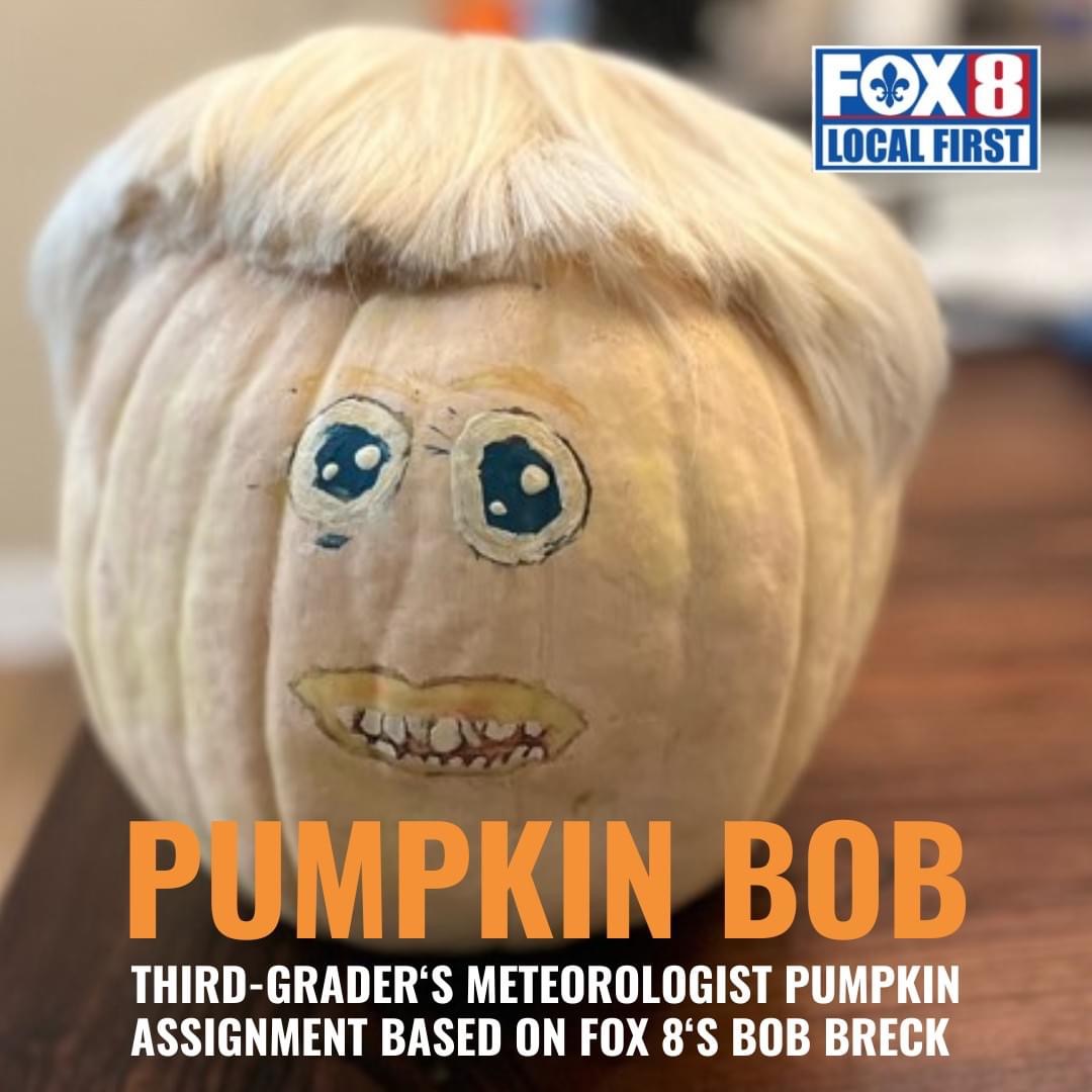
Pumpkin Bob? Seriously? Frankly, that's a pretty healthy head of hair! But there more Lee Zurik!


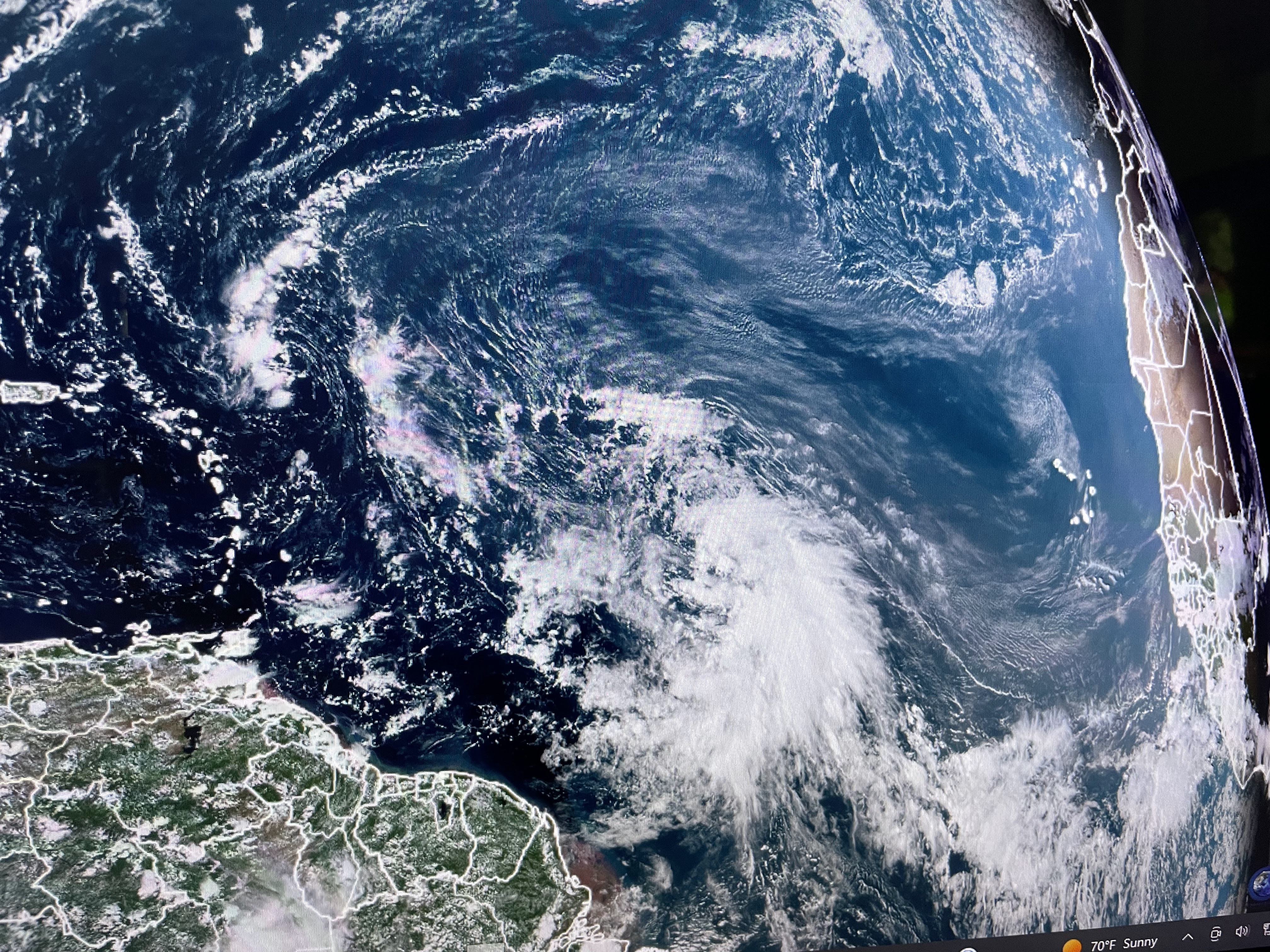
Look at Florida, surrounded by water, but this morning surrounded by clouds. Those clouds bubbled up as cold air moved over the warmer waters. Farther to the north, there were no clouds (hence no rain) across the lower Mississippi River Valley. You can actually see the various rivers that feed into the main Mississippi. We remain in a stuck upper dry pattern that will keep rain chances near zero for the next 7-10 days.


With the center of the surface high moving over us, wind speeds were much lower today. On the eastern side of the high, cool (50s) temps require jackets & sweaters. On the backside (western ) of the high, temps have warmed to 80+ as far north as Denver. A slow warm up will continue here until a very weak front arrives late Friday.


With no signs of Gulf moisture returning, that front will likely push through with very low rain chances. "When in drought, leave it out".


With clear skies and light winds, expect morning lows to be back into the 40s & 50s.


October is typically our best weather month with very little rain and moderating temps that have cooled, but are not cold yet. Finally...


The 2023 Hurricane season officially lasts through November. We have a new Tropical Storm (Norma) in the eastern Pacific while Tammany is trying to form out in the Atlantic. For us, we're done so enjoy what we waited a long hot 5 months for...October! Stay tuned!

No comments:
Post a Comment