


Right now, it's the tale of two seasons with summer-like warmth over the East & Central and a fall chill across all of the West.


Snow is falling at some of the higher elevations as sweaters, jackets and even heavy coats are required. Unfortunately, there are few clouds & no rain falling up river from us.


We do have lower dew points/drier air rotating around the strong eastern surface high pressure. So even though we're still flirting with 90+, it doesn't feel as bad, especially in the mornings.


Strong easterly winds have cause some minor tidal flooding along eastern facing shorelines. That won't change tomorrow. As the front approaches, look for the winds to turn more SSE and decrease. Behind, the front late Friday into Saturday, winds will roar (NNE 20-30 mph) as the cooler air pours in.


There should be another front coming around the 15th that will bring even colder air. That should end our hurricane threat for this year.

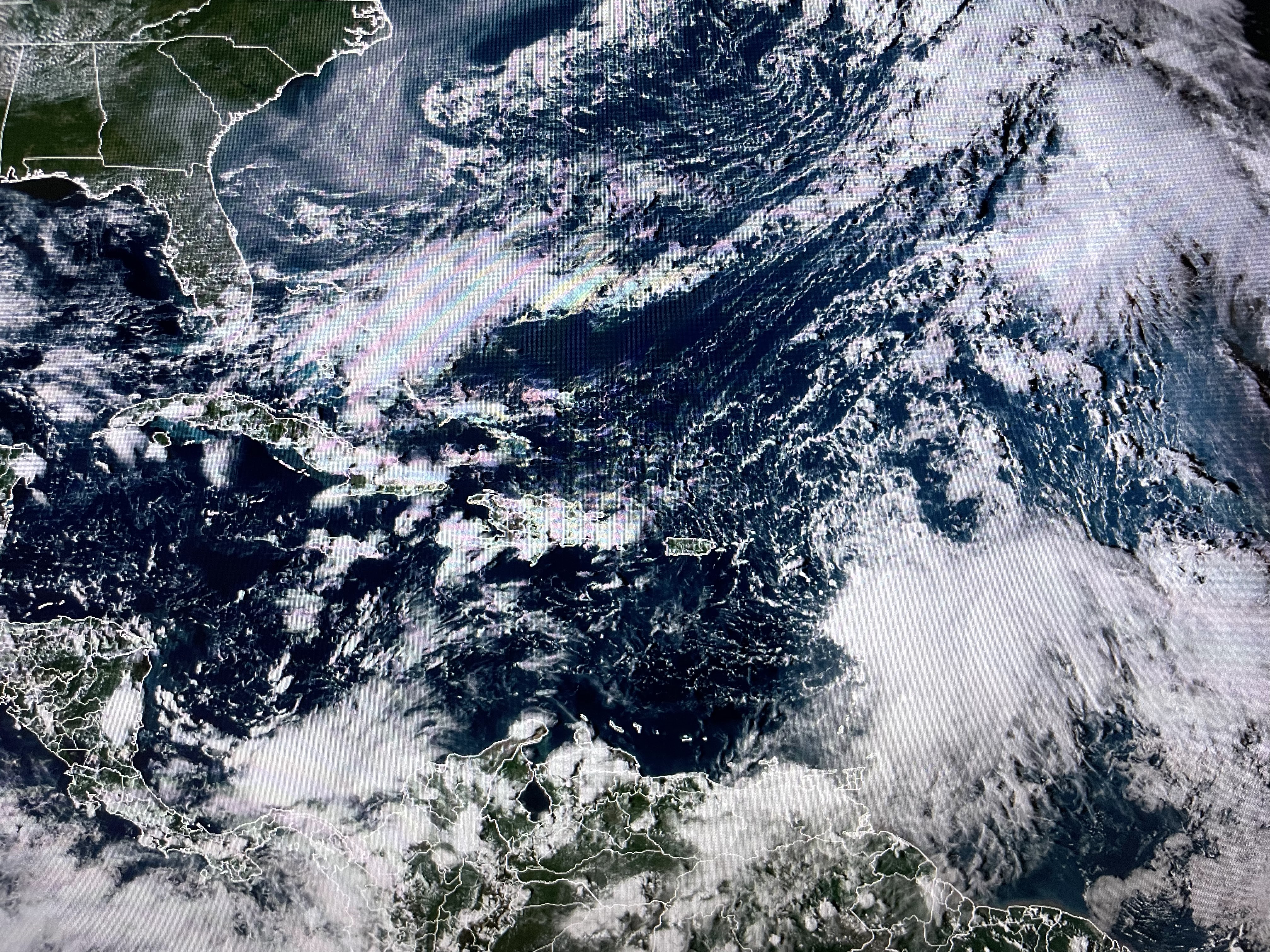


Philippe is still struggling with wind shear and will turn away from the islands later this week. Finally,


I grabbed these top two satellite view this morning and took off the state borders to show an extensive smoke plume coming down the East Coast. The bottom view is late today with the plume moving offshore except lingering over Georgia & NE Florida. The good news for us is it's not coming our way. The salt wedge is unless it starts raining up north. Stay tuned!

No comments:
Post a Comment