


So for those cooler temperatures us north to come southward to us, we need a deep dip/trough over the upper air across the eastern states. That is not happening yet.


The tough is over the west with a ridge over the east. But Hannah Gard showed us this morning, but the weekend the trough will be over the east bringing us that first Fall feeling.
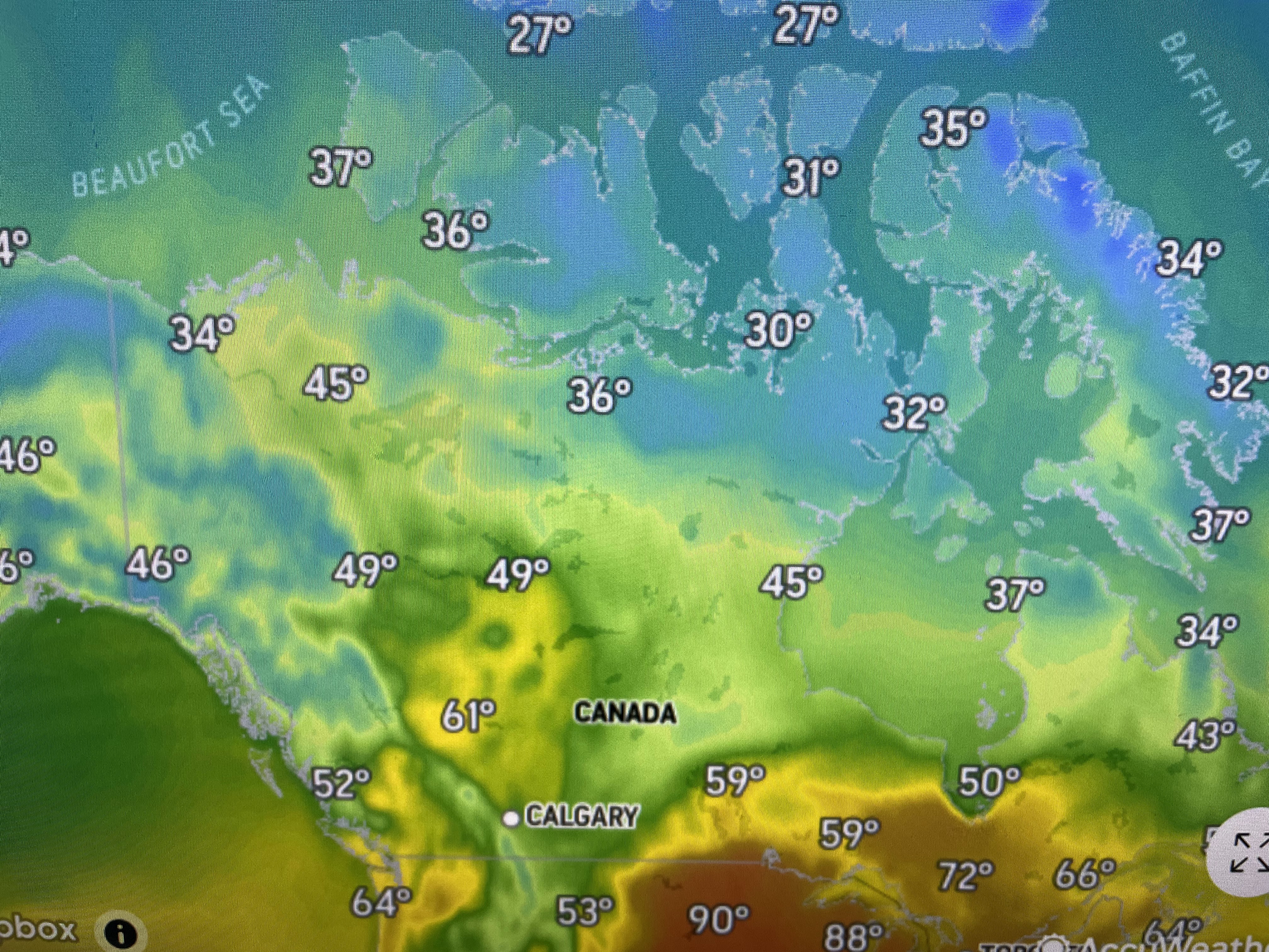

Look at how cold Canada is getting, while under the ridge we still find many 90+ even though we're into October. Some drier air has filtered down with dew points dropping into the 50s & 60s.


With the center of the surface high way up over Michigan, we're seeing ENE winds of 15-25 mph and even higher off our coast. That has the Gulf rocking & rolling.


All of the Mississippi River basin badly needs rainfall, but today there are few clouds and no rain falling. The best chance for some showers will come with the cold front late this week, but don't bet the house.


A bright spot amid all the sadness of LSU & the Saints is that we have no Tropical issues.
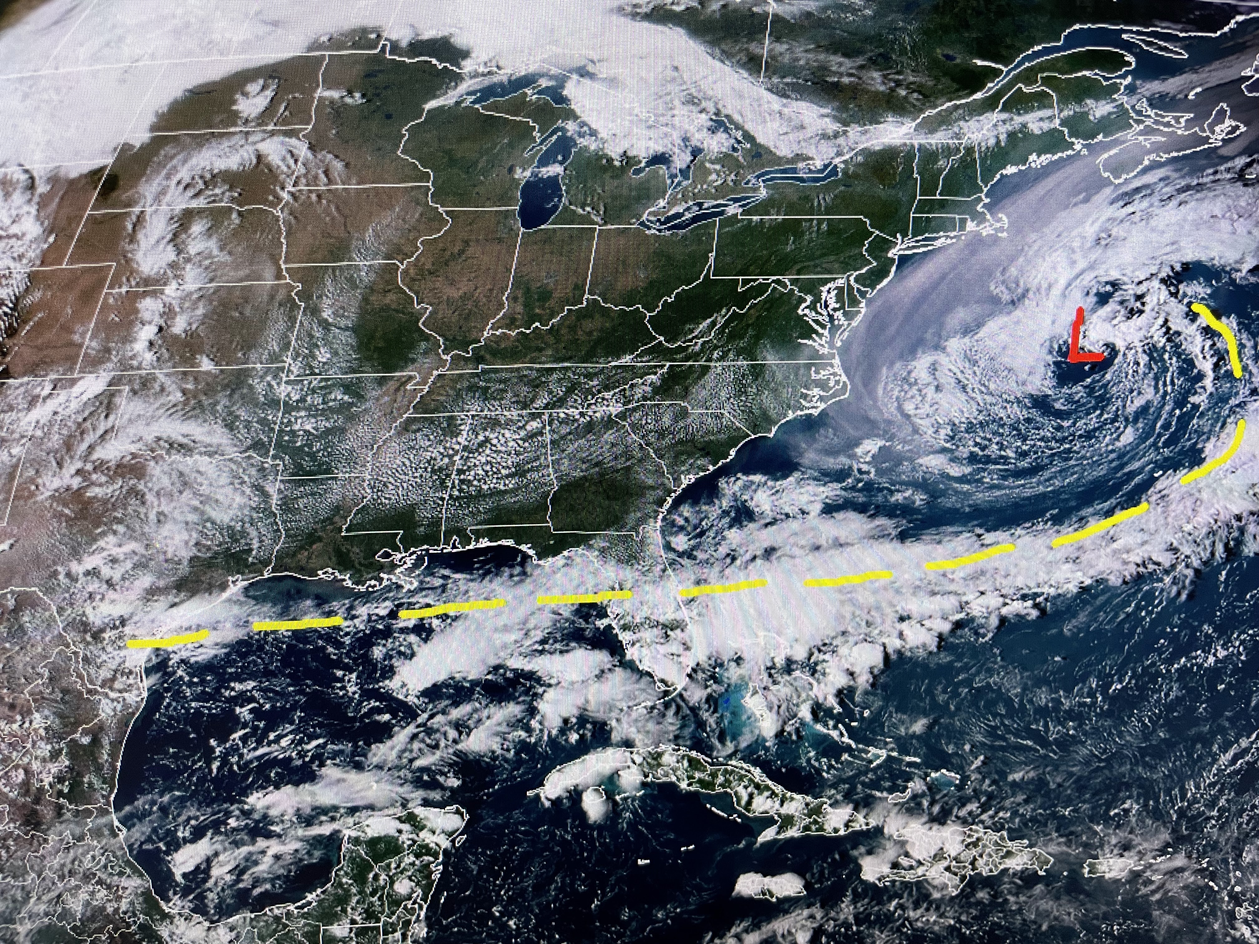


There is a leftover boundary across the northern Gulf, but strong westerly wind shear won't let anything develop. Tropical Storm Rina is no more while Phillippe is expected to become a hurricane well out in the Atlantic. His track keeps him away from land areas. So while we wait for the "Fat Lady" to call back, we wait for the cold front. Stay tuned!

No comments:
Post a Comment