
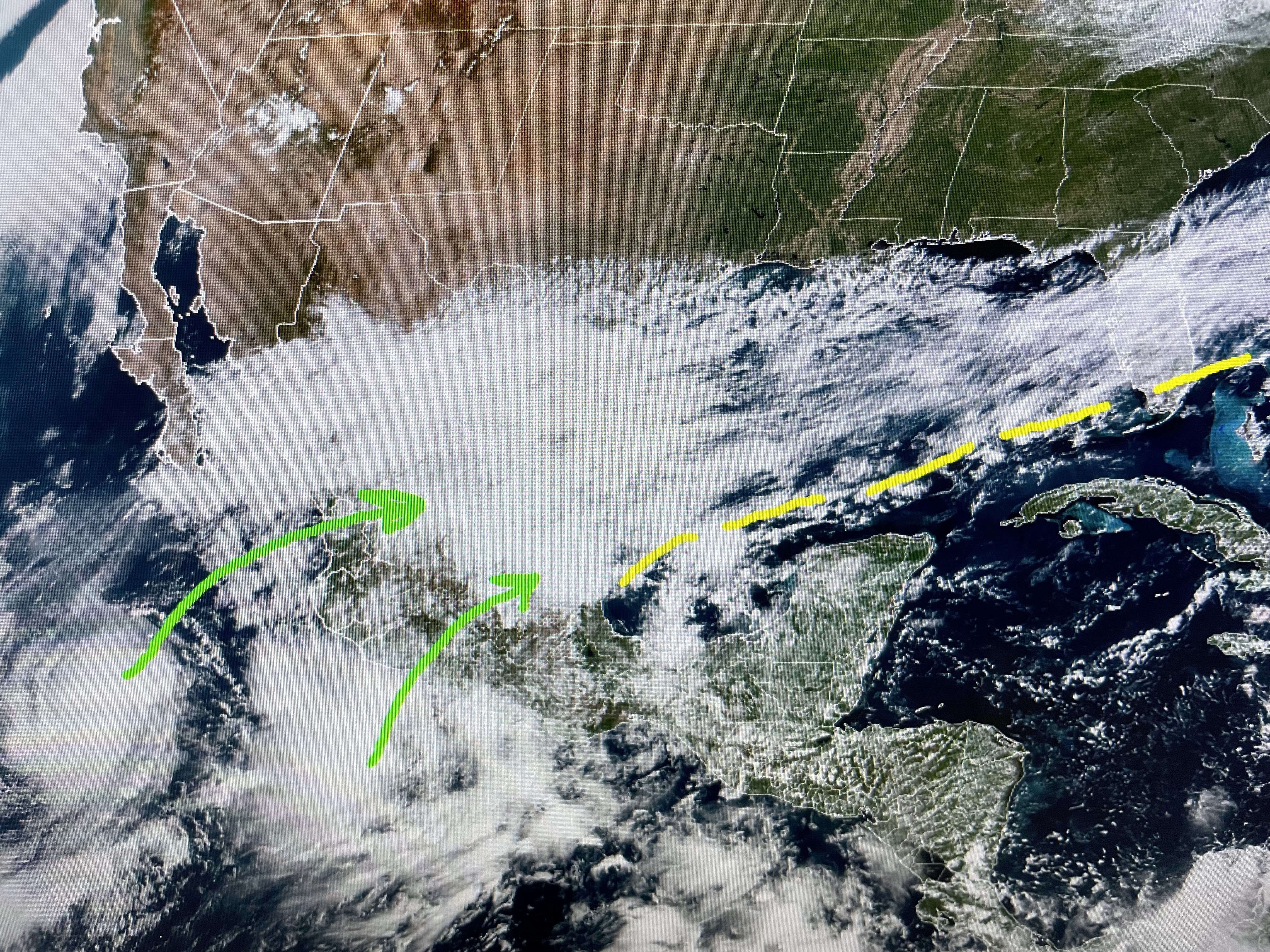


Neither the Euro (top model) or GFS (bottom) develop a strong area of low pressure as upper level WSW shear is quite strong. However, rainfall totals range from 1-2" for the North Shore, 1-3" for metro NOLA and 4-6" along the coastal location with the higher totals heading to the Florida beaches. We will have plenty of time to see what unfolds and NHC hasn't even mentioned it yet.


Today is the second straight where highs stayed in the 70s with low humidity. Brisk morning winds have decreased and with clear skies & no wind in the AM, look for North Shore lows to dip into the 40s. Oh what a feeling!


The current upper pattern is driving colder air out of Canada southward, but the real chill is up over the Great Lakes. For us, when dew points dip into the 30s & 40s, that's really dry air for us. It should hang around into Tuesday morning.


The tropical feel will be back for Wednesday through Friday before another strong front plows through for next weekend.


One negative to all this dry weather is the drought continues over all of the Mississippi & Ohio River basins. Only a few sprinkles are falling on the upper Midwest with the heavier rains/some snow up in eastern Canada. The projected river levels from NOAA have the Carrollton gauge staying mainly flat for the next 2 weeks. The rains coming here for Wednesday & Thursday will not help local river levels. For that wee need heavy rains to start falling farther up north. But look at the positives. 1) Terrific Fall weather for this weekend and 2) Saints Win! Stay tuned!

No comments:
Post a Comment