


Maps are nice, but satellite views give you a better idea who's receiving more sunshine vs those receiving less. In fact, many places farther north see no sunshine for several weeks.
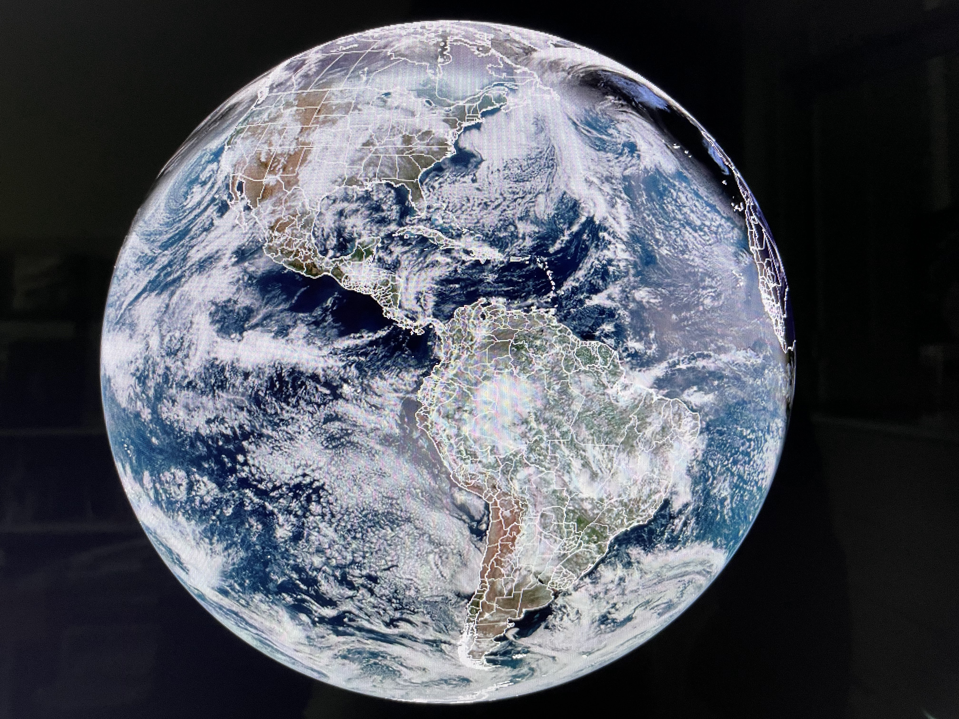


The South Pole (view # 2) is getting 24 hours of daylight, while northern Canada & Alaska see only twilight for several hours. The long nights result in super cold (45-60 below) air forming usually over Russia & Siberia that sometimes spills across the North Pole & over Canada. That's not happening yet.


The super cold is still over Russia & Greenland as Alaska & Canada are seasonally cold.


So what is needed to bring that cold air down to us & give you snow geeks some hope? Look at how the upper pattern shifts during the next 2 weeks. We begin with the current view showing troughs off both coasts.


That's the top view. The next view is valid for Saturday morning January 6th. IF that proves reality, the cold air is pouring southward out of Canada and the axis of the upper trough is still to our west. What does that mean? IF we are into the cold air, a surface low could form south of our coast close enough to give us some of the White Stuff for the first weekend in January. Keep dreaming Gang!


For now, we have the upper trough just off the West Coast soaking parts of California where our Saints are playing tonight.


As you can see, that SW flow across the southern states has temperatures well above freezing with the exception being the Northeast.


As the cold, dry surface high shifts to the east, low level moisture and warmer air are returning off the Gulf. So the question becomes, what day will be the wettest this Christmas weekend? Computer model timing centers on Sunday.


There is the potential for several inches of rainfall overnight Saturday into early Christmas morning before daybreak. IF the GFS model is correct, by midday Monday, skies clear and with west winds, we should warm up into the low to mid 70s.


The FOX 8 Weather Team has issued a First Alert for heavy rainfall on Sunday with an area level 2 (slight) flood risk posted by NWS.


The coming rainfall this weekend should easily boost us into the top ten wettest Decembers, plus keep us from becoming the driest year on record. But you really want to know about tonight. Saints 27 Rams 24. Who Dat! Stay tuned!

No comments:
Post a Comment