


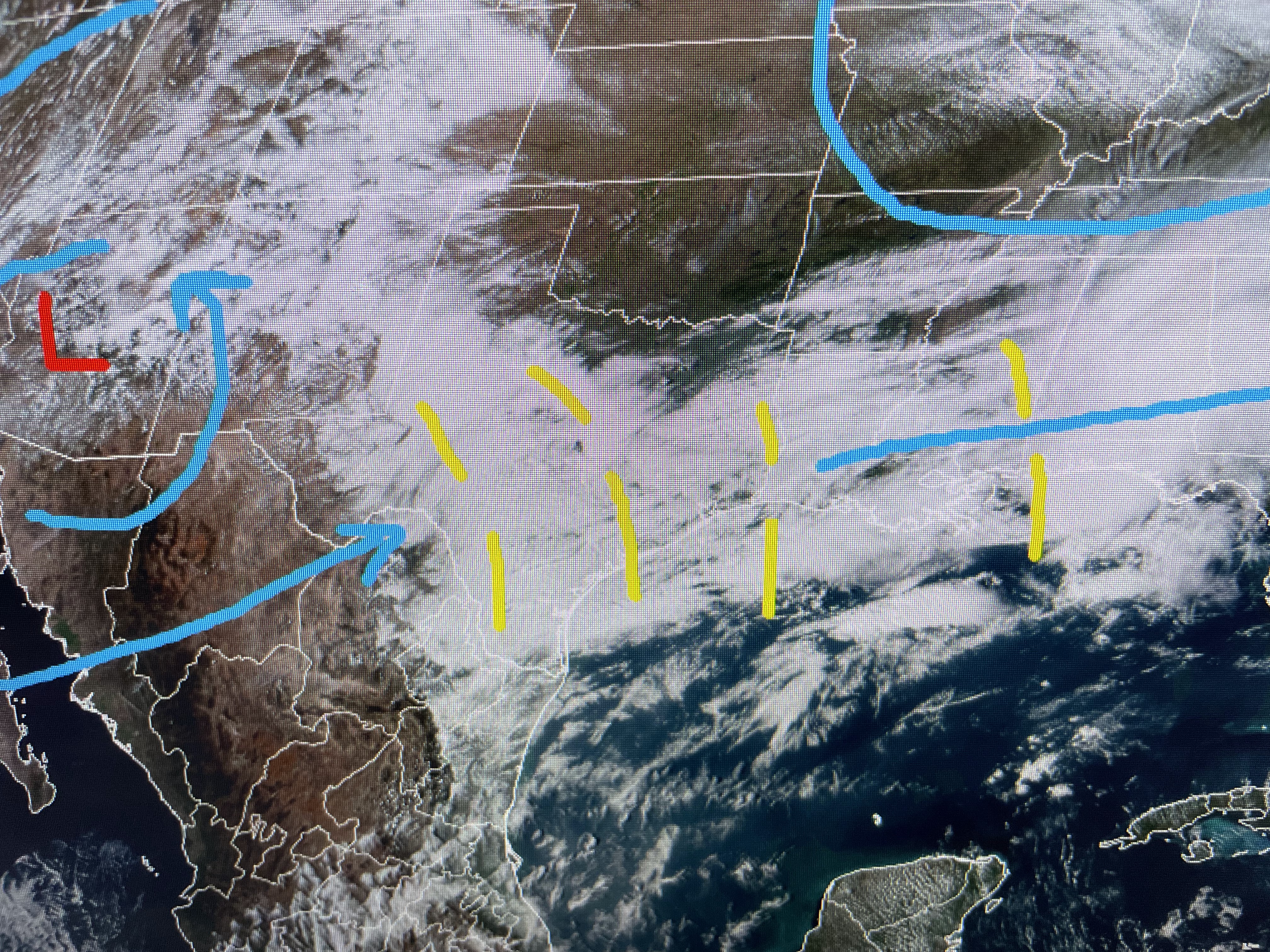
This morning's complex has already cleared the beaches with a weaker disturbance just east of us. There are several more disturbances out to our west that continue to rotate around the stalled upper low over the SW.


It appears a digging upper trough over the Great Lakes will keep anymore significant rains along our coast or offshore. The next question becomes, how far down south will the freezing air get?


We could get into some filtered sunshine tomorrow & Tuesday, but I don't see the clear skies & light wind scenario that would allow temps to dip into the 30s far North Shore. NWS has pointed out that a Freeze Watch may be needed for southern Mississippi Tuesday morning. South of Lake P. we will have no plant issues since water temps are back into the 60s. We will need sweaters & jackets before we warm back up late week.


After 1-2" of soaking rainfall today, we need several days to dry up. Our next rain threat arrives late Thursday into Friday. Enjoy the coming cool spell. Stay tuned!

No comments:
Post a Comment