


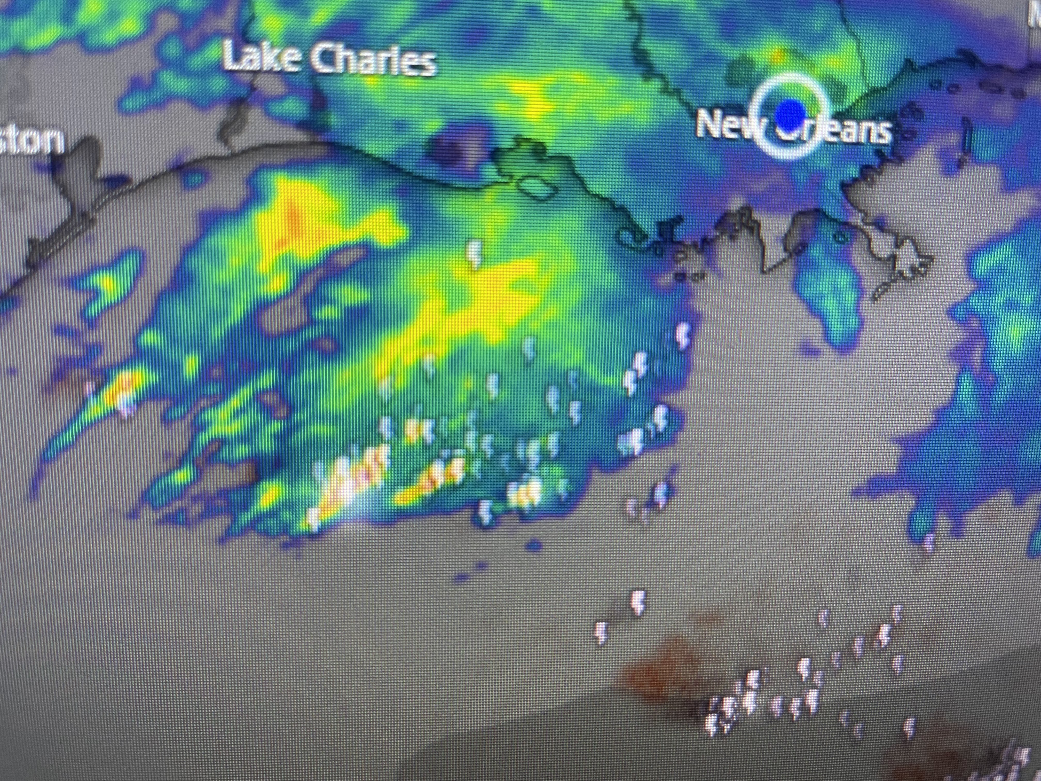


Clearly the T-Storms are well offshore, except back over Texas. As the upper cold pool marches eastward, daytime heating is bubbling up some T-Storms. It is not a surface front, but this complex upper disturbance that is causing the widespread clouds and rains.


Without the deep low level moisture, we are expecting rain totals to stay under an inch. Nicondra gave us one model time line at 4 PM.


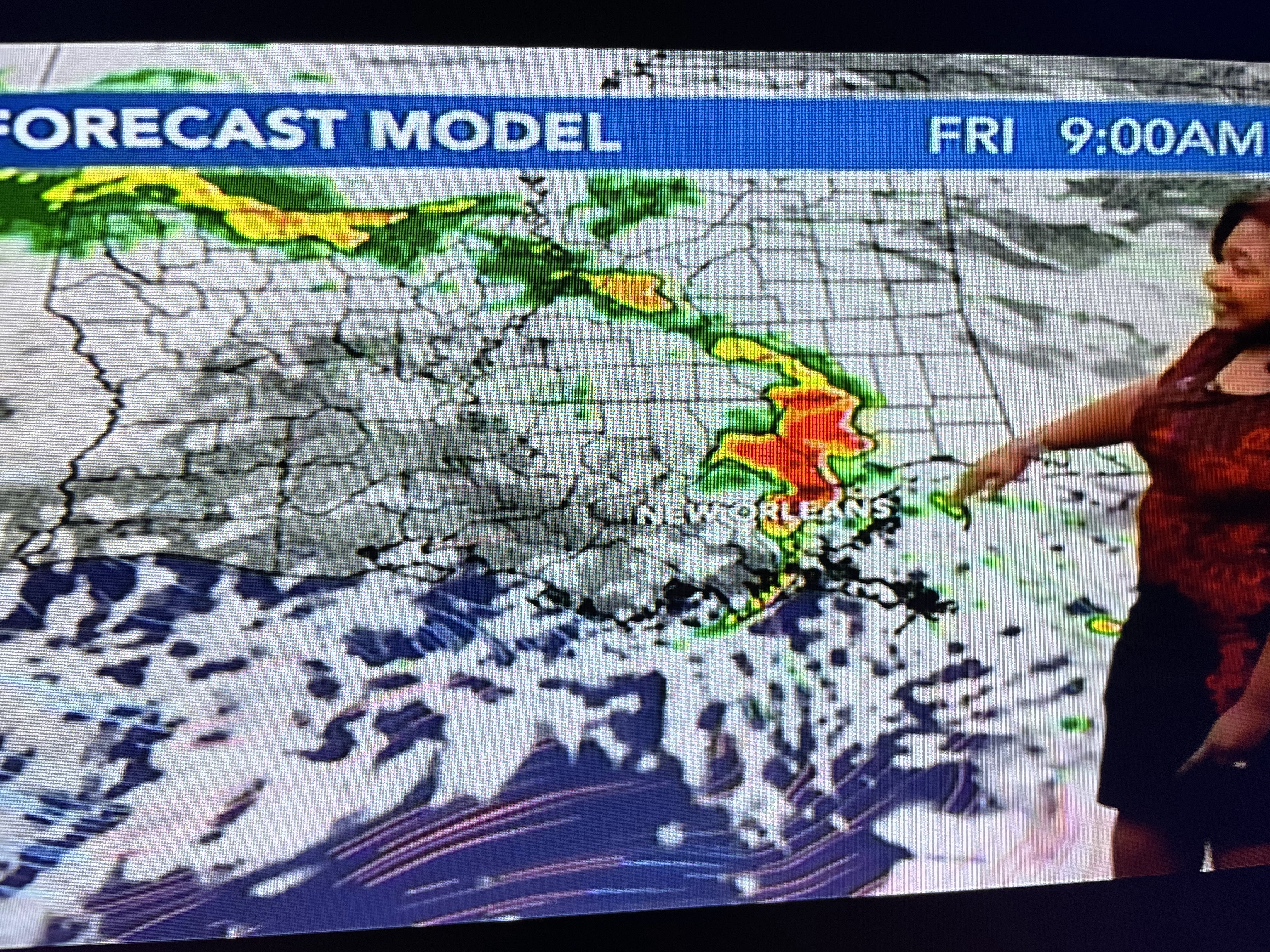
The big complex remains ove the Gulf and will head towards Florida for Friday. As the upper system approaches us, we could see a strong line of T-Showers during morning drive time with along weaker line late Friday PM.


Cooler and drier air filters in for Saturday warming up some on Sunday. Another system brings another rain threat late Monday into Tuesday. Finally, the clouds cleared over the snowy Rockies yesterday.


The top two views focus in on Colorado where the views of the mountain tops are stunning. The bottom two focus on California & Lake Tahoe. It's been another great year to fill up all the reservoirs in preparation for the coming dry season. I'll try to find some views of the mountaintops for tomorrow's post. Stay tuned!

No comments:
Post a Comment