Even places like Phoenix & Las Vegas are in the 70s & 80s compared to near 100 just a few days ago. head over to the eastern states and it's very much Spring.
In addition, the bottom graphic has 60+ dew points surging up into Iowa & even parts of Michigan, Ohio & NY. In between is the battle ground with more strong storms.
The strongest storms, as predicted by SPC, are firing off mainly over Texas where there a Tornado Watch is up.
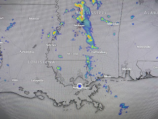
We even had a couple of showers develop this morning & this afternoon with more action north of Lake P.
The main story for us the past three days has been the winds.
That will slowly change this week as winds die off. We will see higher rain chances, especially on Monday with highs remaining in the 80s all week. Yeah, we have about reached the time of year to put away the sweaters and jackets. Drats! Stay tuned!


No comments:
Post a Comment