


Look at how chilly it is under the upper trough. On the flip side, it summer-like across the eastern states.


SPC & WPC keeps most of the rain and severe threat across the same areas for the next 5-7 days.


Since we are on the extreme southern/tail end of the upper energy, the storms that clobber folks to our west weaken as they come eastward under the upper ridge.


We ahve no surface fronts around, so the rain on radar is being triggered by upper air energy. I suspect we'll get some light rain totals this evening, but Jazz Fest will roll on with no major issues.


The extended keeps us warm and humid into next week.


However, the long range model forecast the upper trough over the West to shift and reform over the East. We begin with the current upper flow. The second graphic is valid for Sunday where the Plains low kicks out and another low drops over California. But look what happens after that.

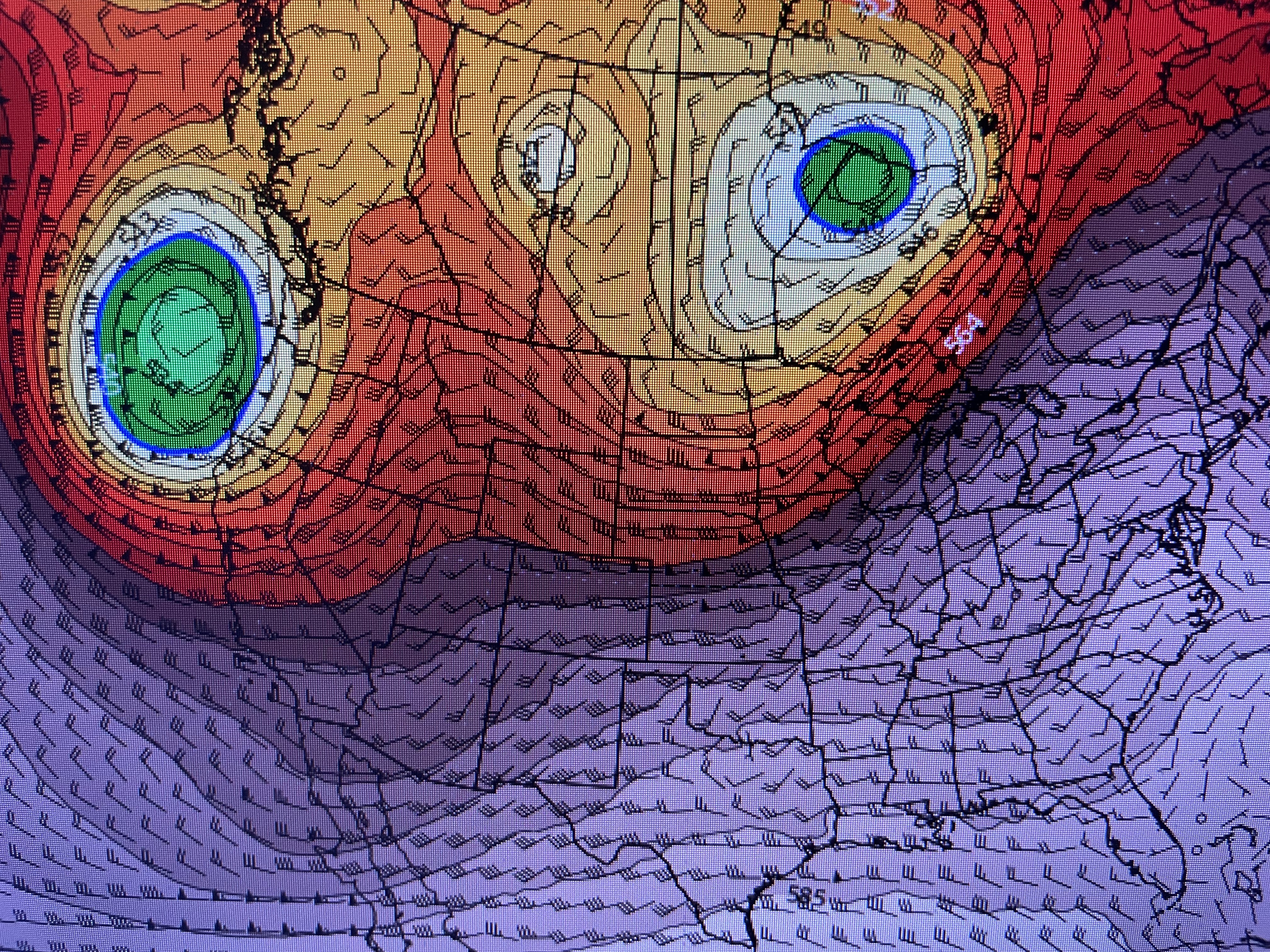


IF the model is correct, then the eastern upper trough should bring us more cool fronts for the second week of May. We could see our 1st 90 degree day next week, but hopefully those weak cool fronts will keep coming?!!! Stay tuned!

No comments:
Post a Comment