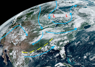
We are halfway through Meteorological Summer and many are looking ahead to when we might see some cooling relief from a cold front. Typically, our first cool fronts start arriving mid to late September with "real" cold fronts holding back until early October. The folks up north don't have to wait so long. In fact, a significant cold front will sweep down over the Great Lakes and Northeast during the next several days breaking their current heat wave. Temperatures in the 50s & 60s up in Canada will flow into the U.S. as a trough develops over the eastern states. No, that trough will not be deep enough to push the front through us.
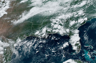
There already is an upper trough (yellow dashes) from Texas to Tennessee and, coupled with the approaching cold front, should increase our rain chances.
From Washington D.C to New York to Boston, it felt awful with highs 95-100+. But they will see relief over the next 2-3 days. Alas, all we can hope for is more clouds & rain to keep us less hot.


.jpg)
.jpg)


No comments:
Post a Comment