
During my 45+ years in broadcasting, I was an "operational" forecaster, except when I was an "expert witness" in the court room. That required doing RESEARCH to determine what the past weather was doing at the time of the accident. The forecasters who do the early season hurricane predictions are mainly research scientists who try to connect the dots (very warm water + low wind shear = high activity). 99% of these experts called for a "hyperactive" hurricane season in terms of total numbers and ACE. The ACE numbers are running above average (mainly due to Beryl), but the total number of named storms is about average/normal for the last week in August. So I keep "searching" for what the heck is going on that is keeping this year way less active than 2023. Here's what I found.


Now the second graphic still has the Sea Surface Temperatures (SST) warm, but look how the Oceanic Heat Content (bottom view) has dropped off the charts. I've read several scientists are calling it the Atlantic La Nina, but the cooler waters appear to have suppressed tropical activity. In fact, look at the Inter-Tropical Convergence Zone (ITCZ) that lacks any convergence.


Add in the Saharan Dust layer and you can see why NHC is forecasting no activity into September. But that doesn't mean nothing is going on. Let's focus down closer to home. We still have several things to follow.


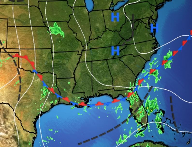
If there is to be any tropical activity during the next 7 days, I see it east of Florida where clusters of T-Storms have sprung up over the Bahamas. That disturbance, if it were to develop, would be forced away from us by the upper East Coast trough plus the blocking Heat Dome over OK/TX. We will see an increase in moisture as an upper low is cutting off south of Apalachicola shown on the water vapor view. Right now, we are on the dry side of the low.


We have seen more clouds and a few showers today and temps. are slightly less hot. The thing I noticed today is more wind.


It hasn't been this windy in several weeks. No, it's not because of any cold fronts coming, but rather that upper low cutting off and heading back to the west. The next 3-4 days should stay breezy.


You can still see the lingering drier air/lower dew points to our east over the AL/FL beaches. Over time, that good feel air mass will retreat back to the north as the Atlantic Ridge/Bermuda High builds to the west. With our DPs back to 70+, look for daytime heating storms to bubble up beginning along the coasts at daybreak & redeveloping inland during the day.

Next week will turn even wetter, but none of the models develop any system over the Gulf with that upper low or our next tropical wave over Cuba passing westward over the Gulf. So where are the Tropics active? Over the EPAC towards Hawaii.

Finally, I captured this close in view shortly after dawn this morning.

The yellow arrows point out the sun's shadow caused by tall cloud tops. That could happen again over the next several days. Enjoy your weekend and stay tuned!
No comments:
Post a Comment