
My old colleague (Jeff Baskins) once said, "When in a drought (dry stretch 10-20+ days), leave it (rain chances) out." Sure you could CYA and call for a 10% chance every day since humidity is so high, but Jeff would just say "it'll be mostly dry". We now are at day 11 without rain and I don't see any widespread showers until Monday at the soonest. Even then, most rain will stay to our west & north as a frontal boundary stalls. Here's why. The upper ridge will only slowly shift eastward, stalling the rain/severe threat well to our north and west.


Yikes! Look at the temperature contrasts on either side of the surface front. It's snowing in Denver while 80s almost reached Chicago. 60+ dew points (high humidity) have surged into southern Wisconsin, where some severe storms have moved into Lake Michigan. We could use some rain here for our gardens & lawns, but I'm afraid we won't see much since the front will stall.

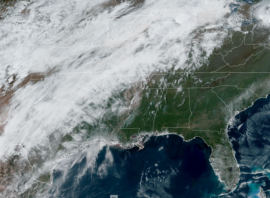
We are getting close to the time of the year when daytime heating could bubble up some showers. That's the thinking of FOX 8. Not my thinking as it often is hard to break out of a dry spell. Not the model thinking, but mine & Jeff Baskin's.

Finally, I saw this graphic that tells me the number of storms this hurricane season should be lower.

Water temperatures are much lower than last year. That's only one indicator. We need lots of Saharan dust too. Stay tuned!
No comments:
Post a Comment